Live webinar: Aerial LiDAR to AI-CAD on Nov 17th

Data sourcesAerial

Mach9 now works in the sky

Turn aerial and drone LiDAR into CAD linework.

Draft planimetrics and overhead wires with AI-assisted feature extraction. Deliver at centimeter-level accuracy, with Mach9 speed.

Book a demo
NV5
Michael Baker
Woolpert
Olsson
HNTB
Bowman
Hanson

What aerial teams say about Mach9

  • “Most of our LiDAR is aerial. So before we chose Mach9, we needed to know that it handled it well. That first data set was impressive enough that we made the commitment. It’s come a long way since then.”
    Thomas Tucker

    Thomas Tucker

    Survey Project Manager, Welch Comer

  • “Before Mach9, we wouldn’t touch a 3,000-acre project because we couldn’t compete on price with stereo mapping. Now we can deliver the quality Langan is known for at a competitive price, on much larger projects.”
    Russell Hall

    Russell Hall

    Senior Survey Project Manager, Langan Engineering

  • “You have to sit there with the instrument and measure points on each wire. Now we just fly it with the drone, throw it into Mach9, and get our lines for all these power lines. That’s orders of magnitude more efficient than traditional methods.”
    Chris Gilling

    Chris Gilling

    Division Manager, Laser Scanning, McElhanney

Works with your sensor and your CAD

You fly and process your data the way you do today. Mach9 takes in your point cloud and exports linework to your specifications.

  • 01

    Sensors and drones

    Mach9 is sensor agnostic and works with data from GeoCue, YellowScan, Phoenix LiDAR, RIEGL, Leica, DJI and other drone and aerial LiDAR systems.

  • 02

    What you upload

    Georeferenced LAS or LAZ, plus an optional GeoTIFF orthophoto.

  • 03

    What you export

    DXF, DWG, Shapefile, Geodatabase, CSV or Field-to-Finish CSV, to your specifications.

What Mach9 does with aerial data

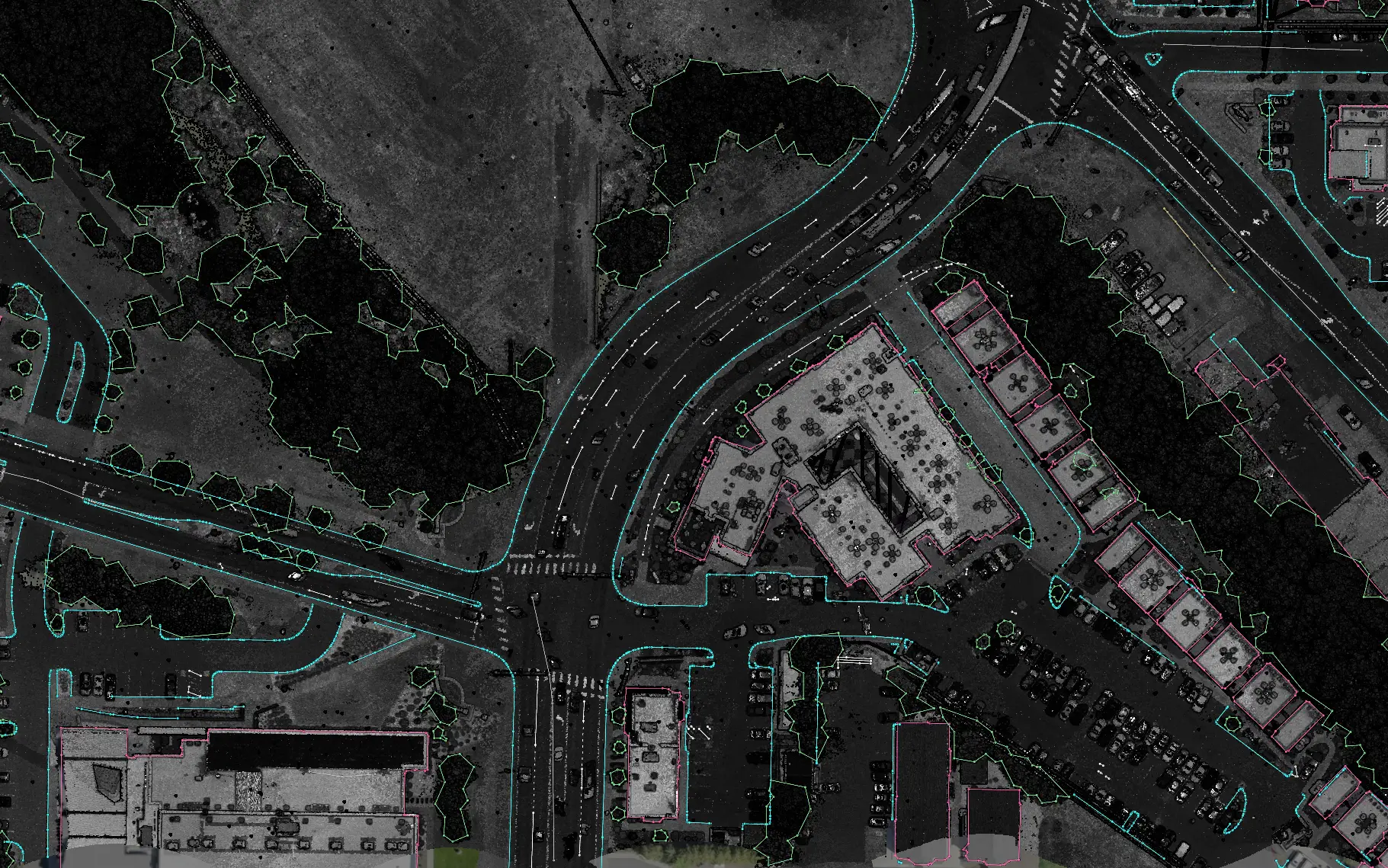
Top-down aerial point cloud with building outlines, tree lines, pavement edges and markings drafted as linework

01 / 04

Get building outlines, roadway linework, tree lines and other top-down features automatically drafted from aerial LiDAR and orthophotos, as editable linework.

Projects teams take on with Mach9

With Mach9, firms run projects like these 10x faster per technician.

  • 01

    Site plans

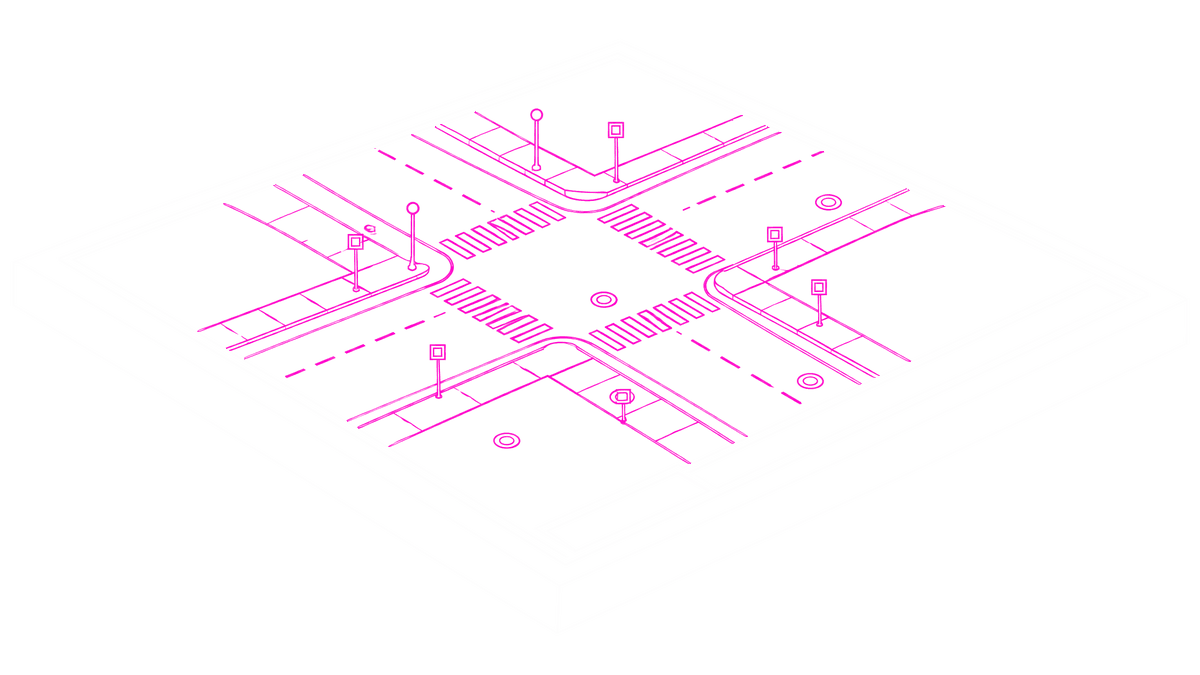
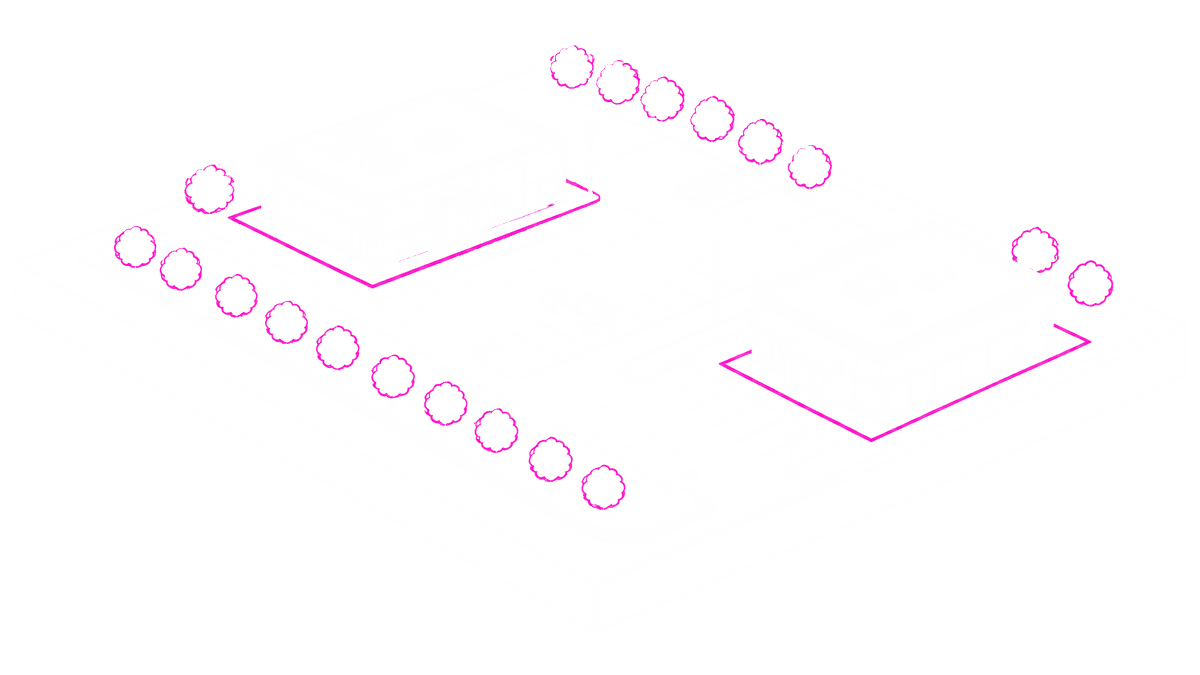
    Building outlines, tree lines and other planimetric features for site and design work.

  • 02

    Base maps

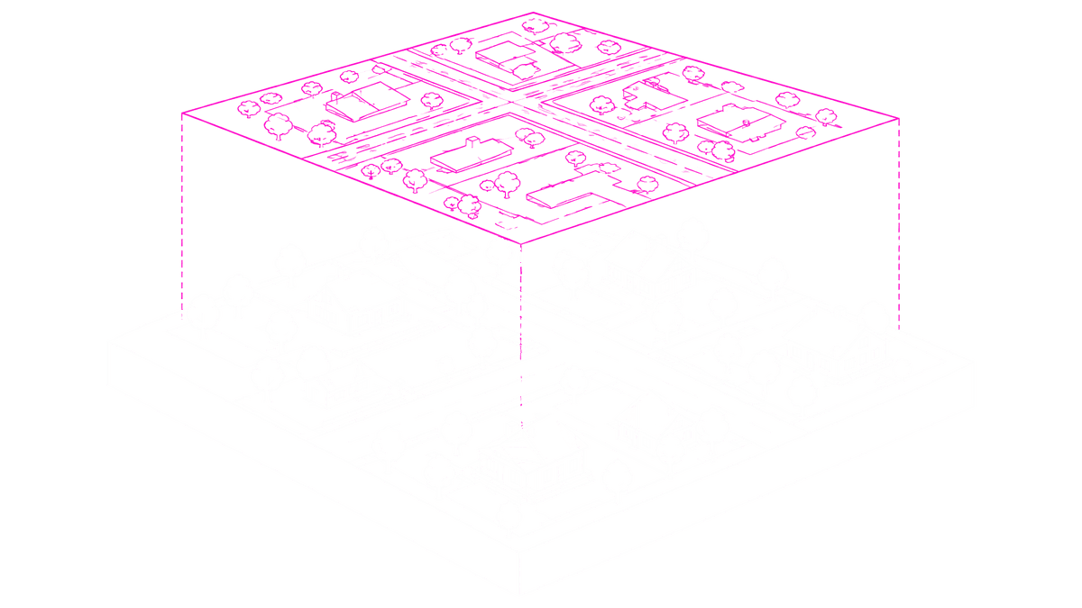
    Planimetric linework for base mapping, exported to your CAD or GIS format.

  • 03

    Utility corridors

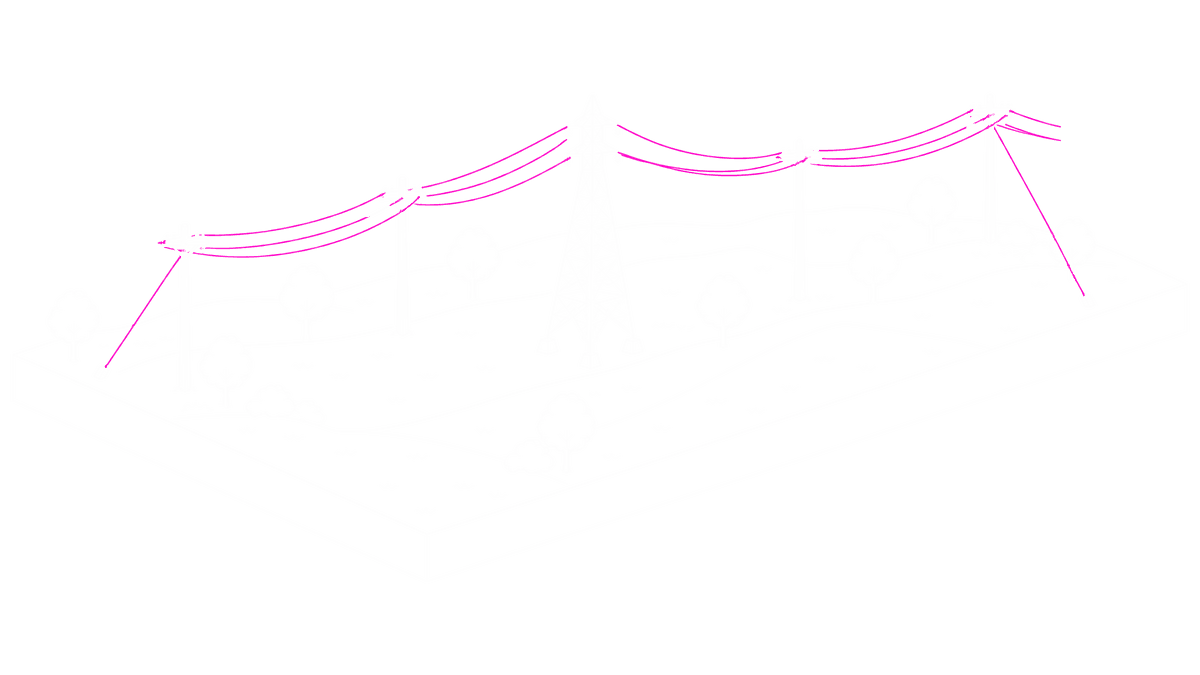
    Overhead and guy wires as 3D linework, ready to review span by span.

Frequently asked questions

Does Mach9 fly or collect the data?

No. You fly and process your data the way you do today. Mach9 starts from your georeferenced point cloud. It doesn’t plan flights, process trajectories or PPK, or register data.

What aerial data can I upload?

Georeferenced aerial LiDAR as LAS or LAZ, plus an optional GeoTIFF orthophoto. Aim for at least 100 points per square meter; 400 or more is best. More in our drone point density guide.

What can Mach9 extract from aerial data?

Building outlines, tree lines and other planimetric features, plus overhead and guy wires.

Do I need to classify my point cloud first?

No. Mach9 classifies your point cloud at upload.

Can my team edit what Mach9 drafts?

Yes. Every line stays editable with CAD tools before you export.

What can I export?

DXF and DWG linework, Shapefile, Geodatabase, CSV and Field-to-Finish CSV.

See it in action on your own aerial data

Mach9 shaves weeks and weeks off extraction on our civil corridor projects. We can fly through vertices and line work in 3D — half our data is already done before we start verifying.”
Matthew Skibba
Director of Reality Capture, Feldman Geospatial

Step 1 of 3

RegisterBook a demo