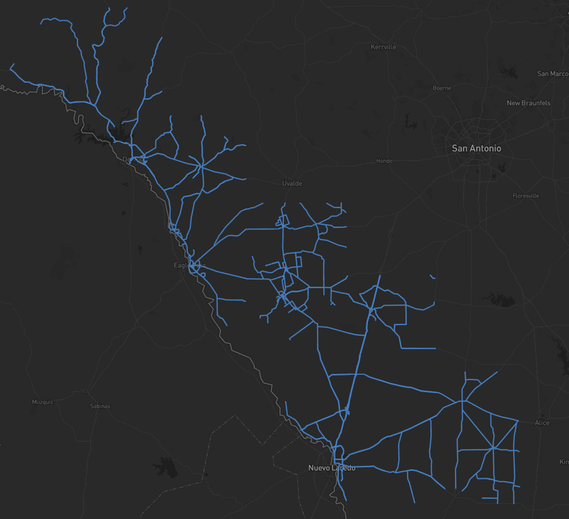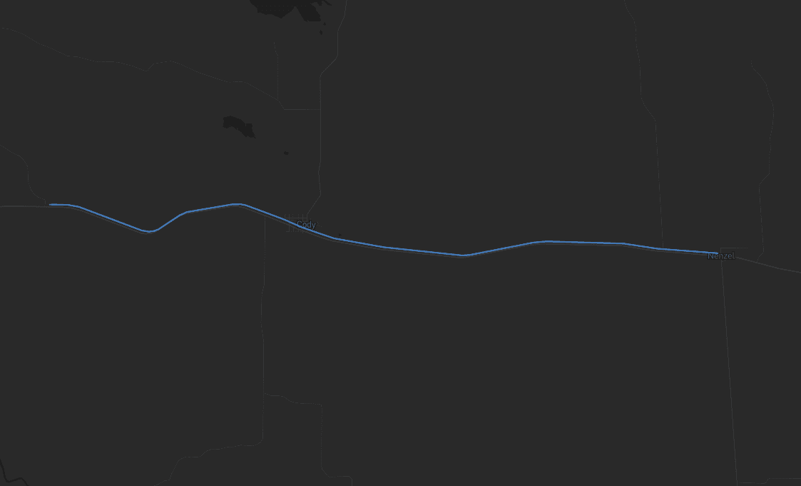
Total miles extracted23,000+Projects delivered500+Features extracted10M+Hardware partnersRIEGL / TRIMBLE / LEICA
IndustriesTransportation Agencies

Asset data in days, not months.

WITH MACH9

Turn reality capture data into usable asset information that supports transportation infrastructure across its entire lifecycle, from engineering and construction through operations and maintenance.

WSDOT
NV5
HNTB
Michael Baker
Woolpert
Olsson
David Evans

Teams shipping faster with Mach9.

  • 65,000+ signs extracted across 2,500 miles with 99%+ accuracy.

    Having used Digital Surveyor on several projects to great success, it's certainly a tool that will be at the forefront of our approach moving forward for similar programs with other DOTs or large municipalities.
    Aaron Morris

    Aaron Morris

    Vice President, Michael Baker International

  • Statewide inventory QA in a single interface.

    The ability to perform full QA in a single interface, without jumping between systems, has transformed how we approach statewide inventories. Mach9 brought consistency and confidence to our data workflows.

    Jeff Tornatore

    Project Manager, Michael Baker International

  • A quarter mile of corridor data drawn in five minutes.

    Paint stripes, object recognition, light poles — things that eat up time on corridor work. Mach9 has eliminated that worry. We can do it quickly and know we're going to get all of it.
    Eddie Fossler

    Eddie Fossler

    Vice President & Technical Expert, Olsson

Weeks of extraction, delivered in days.

SPEED

Traditional CAD drafting runs about 5 days per mile. Drafting in Mach9 runs under half a day per mile.

< ½ day

DRAFTING PER CORRIDOR MILE

CONTROL

Deliverables that hit the accuracy standard you need. Linework that holds up to your requirements.

Design-grade

ACCURACY

COMPATIBLE

Export as DXF, DWG, DGN, Shapefile, Geodatabase, LandXML, or IFC. Aligned to your CAD and GIS standards.

0

EXPORT FORMATS

Problems we solve.

Delivery schedules move fast. Manual drafting doesn't.

  • 01

    As-builts are outdated or wrong

    The record was from years ago. Operations and maintenance struggle with outdated records.

  • 02

    Collection still happens by hand

    Manually collecting one asset at a time across thousands of miles proves tedious and inefficient.

  • 03

    Working in live traffic is risky and expensive

    Every additional measurement taken on-site is another crew in an active roadway.

  • 04

    The data ages before you can use it

    Manual extraction puts months between capture and usable deliverable. The data becomes stale by the time it reaches design.

The production engine behind your roadway data.

From capture to engineering-ready deliverables.

01 / 03

AI-ASSISTED EXTRACTION

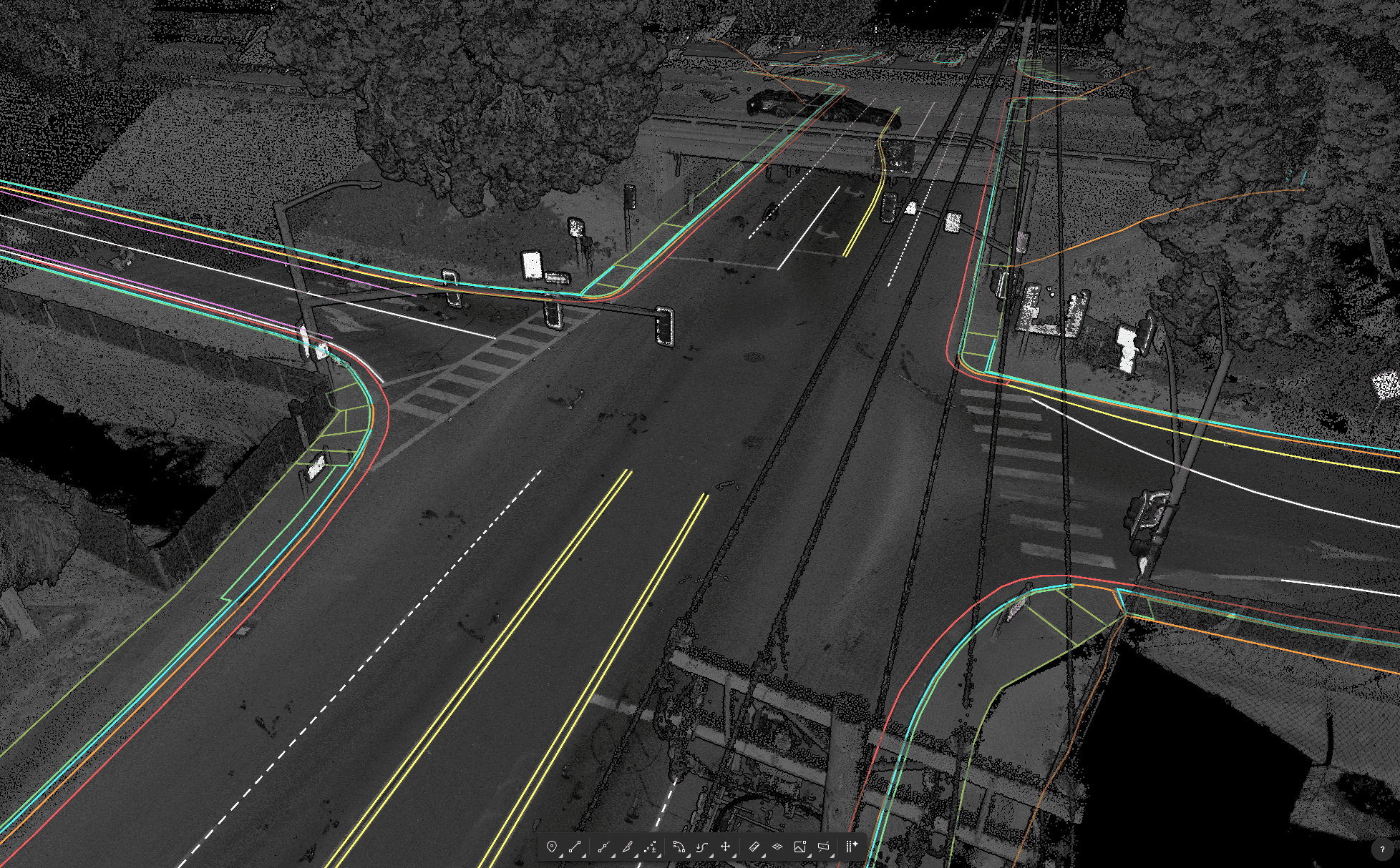
A polished first draft.

Signs, striping, poles, guardrail, curb, and drainage extracted from reality capture, with MUTCD-coded sign attributes. A polished first draft of the corridor, from any scanner.

A polished first draft.

02 / 03

OPERATOR CONTROL

Your team stays in control.

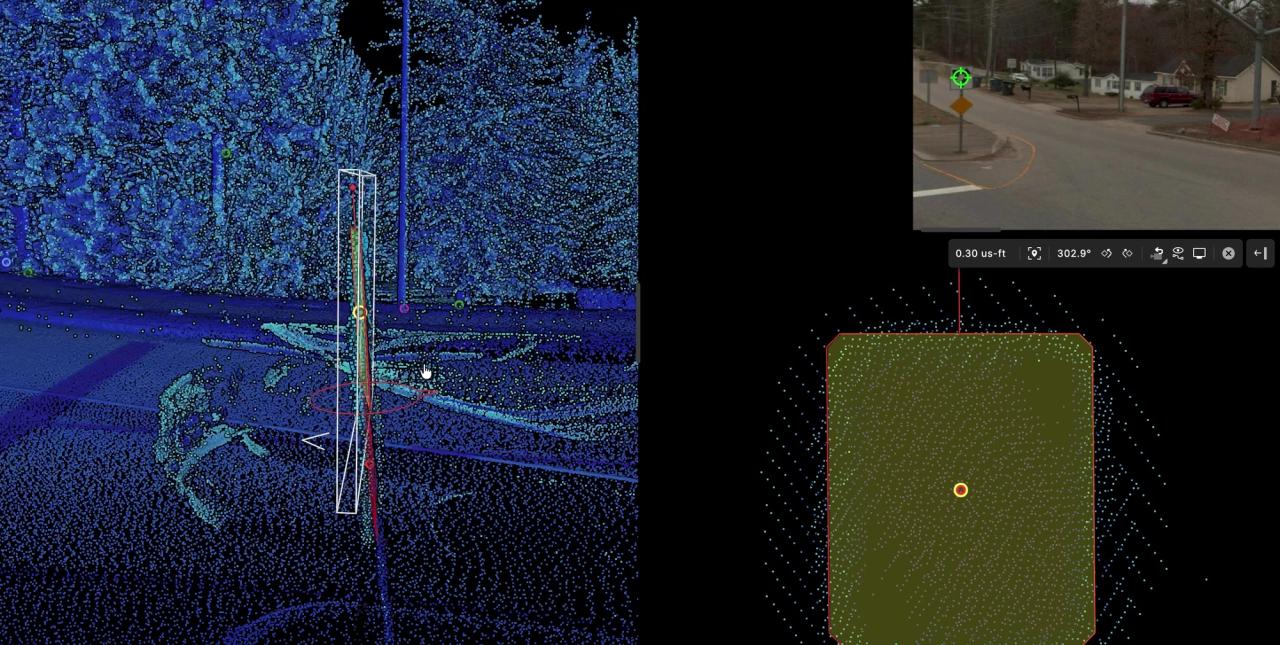
Semi-automated workflows with full CAD precision for fine-tuning. Seamless QA workflows paired with powerful editing tools like snapping, vertex editing, cross-sections, and more.

03 / 03

ENGINEERING-READY DELIVERABLES

For your enterprise stack.

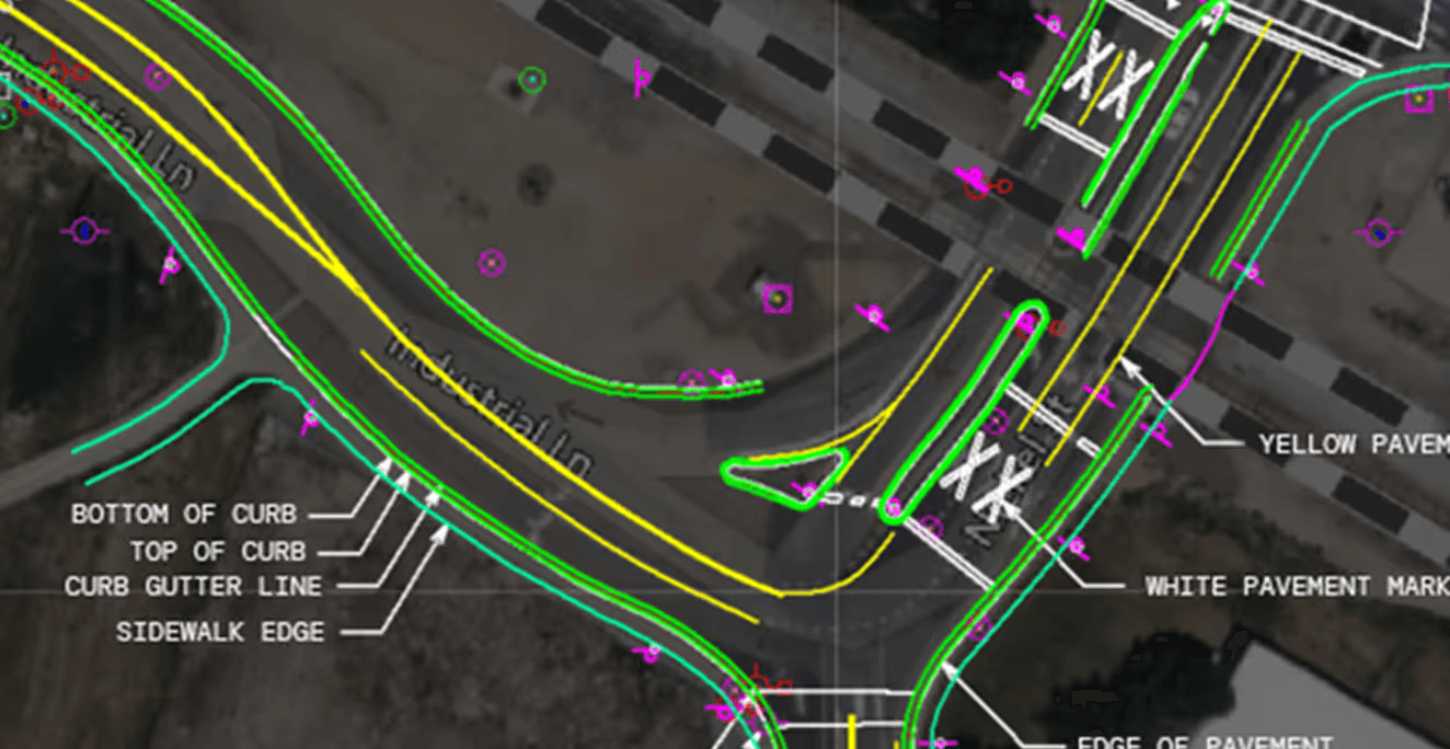
CAD and GIS exports aligned to your standards, ready for the Civil 3D, OpenRoads, and ArcGIS workflows your teams run. Customize and export schema-aligned CAD and GIS deliverables.

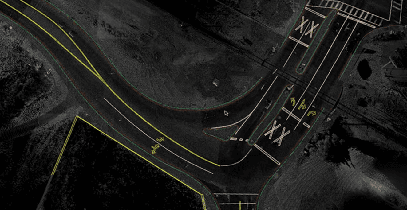
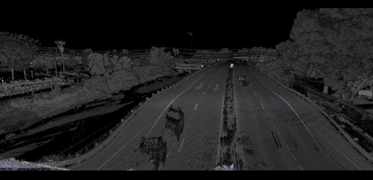
Point Cloud
As-Built CAD
Point Cloud
As-Built CAD

Supported scanning systems

Vehicle, terrestrial, drone, or handheld. Mach9 turns point clouds and imagery from any scanner into deliverables.

NavVisTrimbleLeica
Teledyne
RIEGLPhoenix

Built for the data your agency needs.

  • Design survey.

    Roadway and highway design surveys, corridor base maps, and intersection surveys. Pre-construction design-grade surveys at centimeter-level accuracy.

  • Digital delivery.

    Construction verification, digital as-builts, and digital delivery packages. Verified as-builts exported to your CAD standards.

  • Asset inventory.

    HPMS reporting, safety-critical asset inspections, sign and guardrail inventory, and striping. Network-scale inventories configured to your specifications.

  • Inspection and condition assessment.

    ADA and pedestrian infrastructure assessment, bridge clearances, pavement condition, and roadside safety features. Measured safely and accurately from reality capture data.

Engineering-ready deliverables ahead of schedule.

Send us a sample dataset and see Mach9 in action on your own data. Cut time and cost without sacrificing accuracy.