
Miles surveyed100,000+Projects delivered2,500+Features extracted11M+Hardware partnersRiegl / Trimble / Leica
Customer Results
See how firms across surveying, telecom, electric utilities, and transportation use Digital Surveyor to accelerate project delivery and reduce costs at scale.


2,500+Projects delivered
10xFaster extraction per technician
11M+Features extracted
100,000+Miles surveyed
Michael Baker International
Turning Roadway Assets into Actionable Data for State DOT
65,000+Assets extracted
Read case study

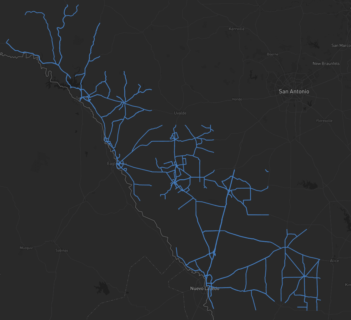
Eagle Engineering and Consulting
Accelerating Rural Broadband Expansion Through Automation and Visibility
7,900Kms processed
Read case study

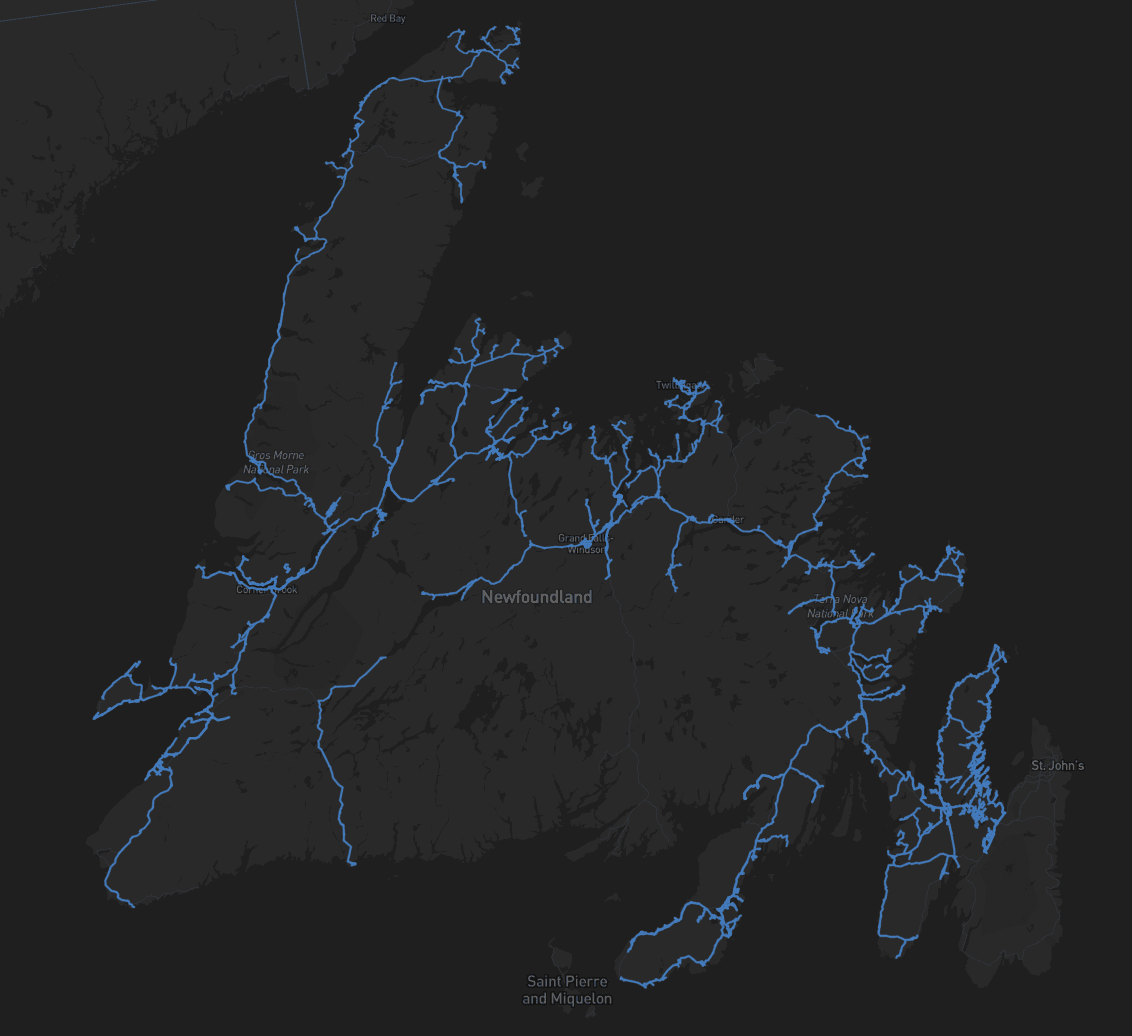
Fibersmith Engineering
Data Collection First, Decisions Later: A Smarter Way to Design Broadband
15×Faster workflow
Read case study

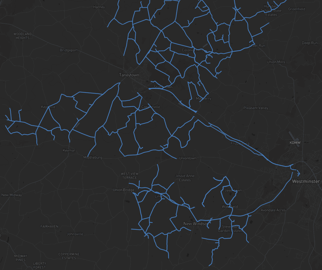
Langan Engineering
Taking a Topographic Survey Start-to-Finish with Mach9 Digital Surveyor
30%Under budget
Read case study

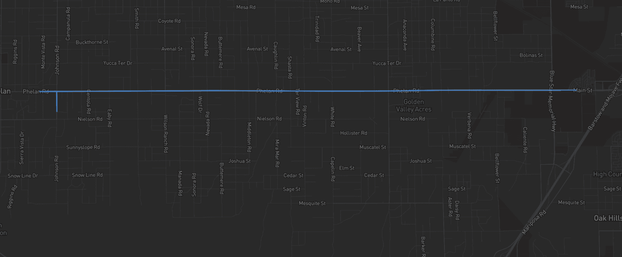
TrueNet Communications
TrueNet Accelerated Complex Telecom Infrastructure Route Mapping with Mach9
51 miUnderground telecom network
Read case study

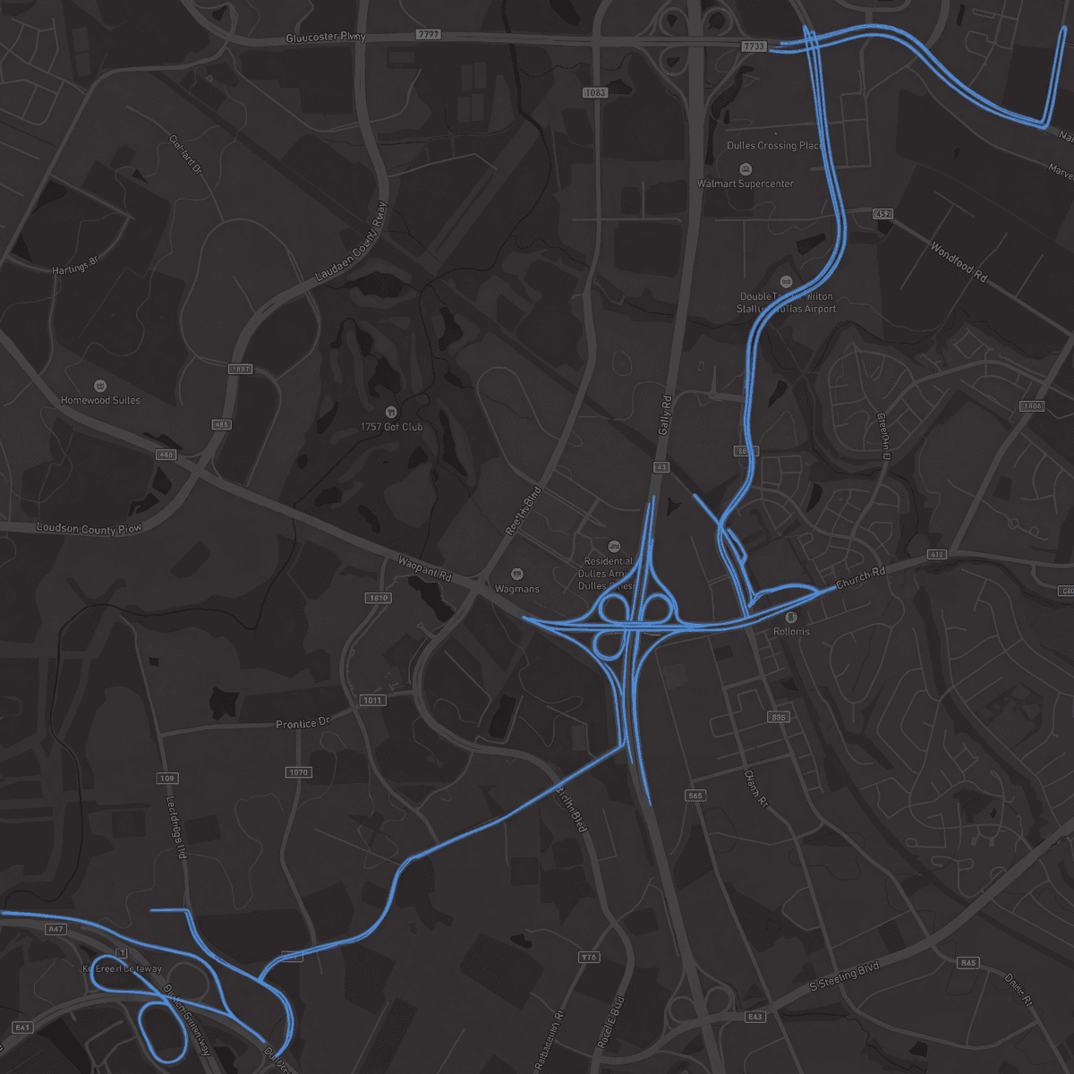
Olsson
Olsson Executes Roadway Corridor and Pad Site Surveys 60% Faster with Mach9
60%Faster survey-to-CAD
Read case study

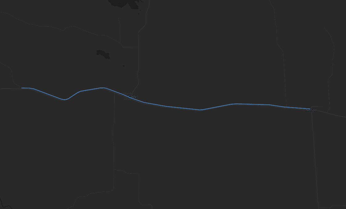
GPD Group
GPD Group Drafts Precise Corridor Linework 70% Faster with Mach9
70%FASTER SCAN-TO-CAD DELIVERY
Read case study

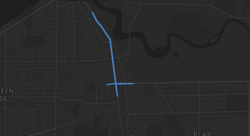
Pennoni
Pennoni Increased Civil Infrastructure Project Capacity by 50% with Mach9
50%INCREASE IN PROJECT CAPACITY WITHOUT ADDING HEADCOUNT
Read case study

Turn weeks of drafting into hours

Mach9 shaves weeks and weeks off extraction on our civil corridor projects. We can fly through vertices and line work in 3D — half our data is already done before we start verifying.”
A recurring theme in the civil engineering industry is how difficult it is to find trained technicians. Mach9 enables us to do 50% more work with the same experienced team. That's extremely important for us.”
Mach9 changed how our team works. The time we used to spend on manual feature extraction, we now spend on parts that require expert judgment, like resolving edge-case geometry.”
With Mach9, we now have a state-of-the-art feature extraction workflow. Instead of spending hours tracing objects in a point cloud, we directly review Mach9's AI-generated assets.”
One of the best things about Mach9 is that you get immediate value without any learning curve. The feature extraction is super accurate, and you go from point mapping to a design-grade deliverable seamlessly.”
The ability to perform full QA in a single interface, without jumping between systems, has transformed how we approach statewide inventories. Mach9 brought consistency and confidence to our data workflows.”
Director of Reality Capture, Feldman GeospatialRob Ashley
HDLS Technology Director, PennoniEddie Fossler
VP & Quality Management Leader, OlssonKaty Sprenger
GIS Specialist, TruenetDiana Wohlfarth
PennoniJeff Tornatore
Project Manager, Michael Baker International
Step 1 of 3