
Events
Where the Mach9 team is going next
Live webinars, in-person events, and the conferences we'll be exhibiting at. Catch up on past sessions in the recording archive.
Upcoming

Past events & recordings
INTERGEO 2026: visit Mach9 at Booth C5K139, Hall C5
Find the Mach9 team at Booth C5K139 in Hall C5 during INTERGEO 2026 in Munich. Stop by for a live look at Mach9's AI-assisted feature extraction. See how survey, transportation, and utility teams are turning reality capture data into engineering-ready linework at Mach9 speed.
Welch Comer + Mach9: From Flight to CAD Deliverable — Drone Workflows with Welch Comer
Join Mach9 and Welch Comer for a live look at how their team processes drone data in Digital Surveyor 2, from raw point cloud to engineering-ready deliverables.

From Capture to Completion: Advancing Mobile Mapping from Extraction to Deliverables
Join RIEGL USA and Mach9 for a discussion of the full mobile mapping landscape — from data capture and extraction to final deliverables. Tanner Dutton, RIEGL USA's Ground Based Division Supervisor, and Max Leung, Mach9's Founding Senior Solutions Engineer, walk through how high-quality imagery and AI feature extraction come together for large-scale asset management and infrastructure design, with Q&A alongside industry experts from TrueNet Communications and GPI Geospatial.
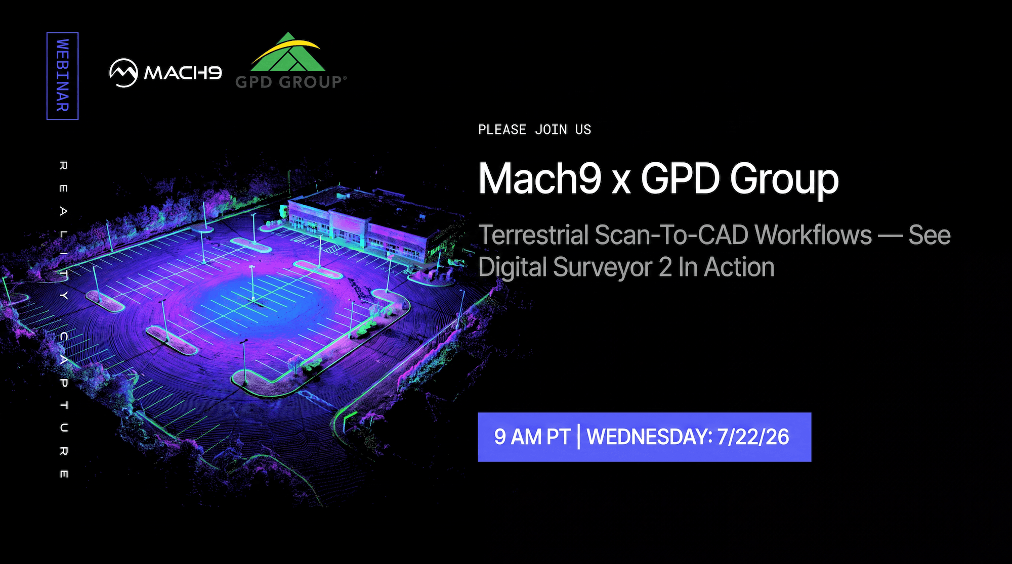
GPD Group + Mach9: Terrestrial Scan-to-CAD Workflows
Already using Mach9 for mobile or aerial LiDAR? See how Digital Surveyor 2 extends to terrestrial laser scanning, helping survey teams streamline the entire field-to-finish workflow — from terrestrial data capture to automated feature extraction, QA/QC, and engineering-ready CAD deliverables.
Esri User Conference 2026 — visit Mach9 at booth 2314
Find the Mach9 team at booth 2314 during the 2026 Esri User Conference. Stop by for a live look at Digital Surveyor 2 — AI-assisted feature extraction from LiDAR point clouds — and talk through how survey, transportation, and utility teams are pairing Mach9 with their GIS workflows.
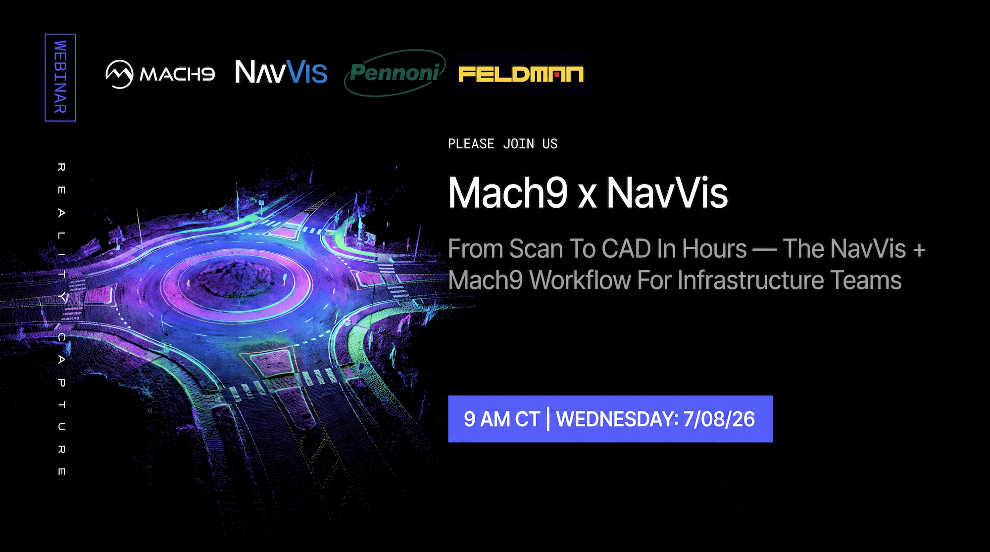
From Scan to CAD in Hours: The NavVis + Mach9 Workflow for Infrastructure Teams
NavVis and Mach9 addressed a challenge every mobile mapping team recognizes: you can capture more data across more space in less time than ever, but if the next step is still days of manual drafting, tracing, and cleaning, the bottleneck has only moved from the field to the office. Alongside experts from Pennoni Associates and Feldman Geospatial, we walked through how infrastructure teams use NavVis solutions and Mach9's AI-powered Digital Surveyor 2 to create a more efficient workflow from scan data to CAD and GIS output — which projects are the strongest fit, how to prepare scan data for automated extraction, and where human expertise still matters.

LGSx to Deliverable: Leica Geosystems + Mach9 Reality Capture Workflow
Leica Geosystems and Mach9 walk through the joint workflow that takes mobile mapping from LGSx capture to engineering-ready deliverable. Leica LGSx loads natively into Digital Surveyor, so production starts the same day capture lands. See the Leica Geosystems + Mach9 Digital Surveyor 2 workflow in action, real customer results, and Q&A with Leica Geosystems, Mach9, Olsson, and Langan panelists.
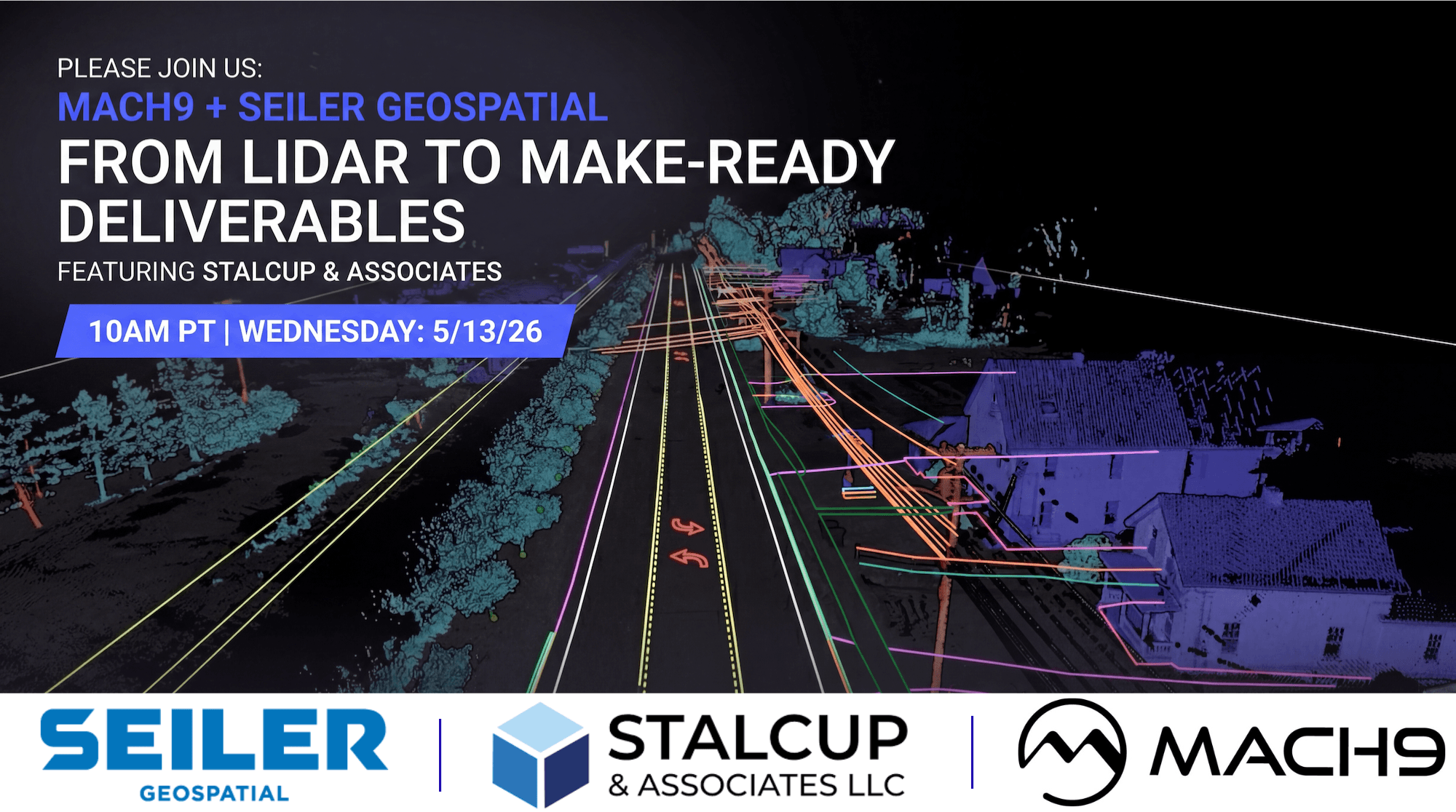
From LiDAR to Make-Ready Deliverables
How survey and telecom teams move from raw LiDAR capture to engineering-grade make-ready deliverables. A joint session with Mach9, Stalcup, and TrueNet, hosted by Seiler Geo — featuring customer workflows across survey and telecommunications.

FBA Presents — Mach9 + TrueNet: Accelerating Fiber Permitting and Design from Field Capture to Delivery
Hosted by the Fiber Broadband Association: how Mach9 and TrueNet are accelerating fiber permitting and design — from field capture through point cloud classification, image-from-point validation, and curve mapping to engineering deliverables.
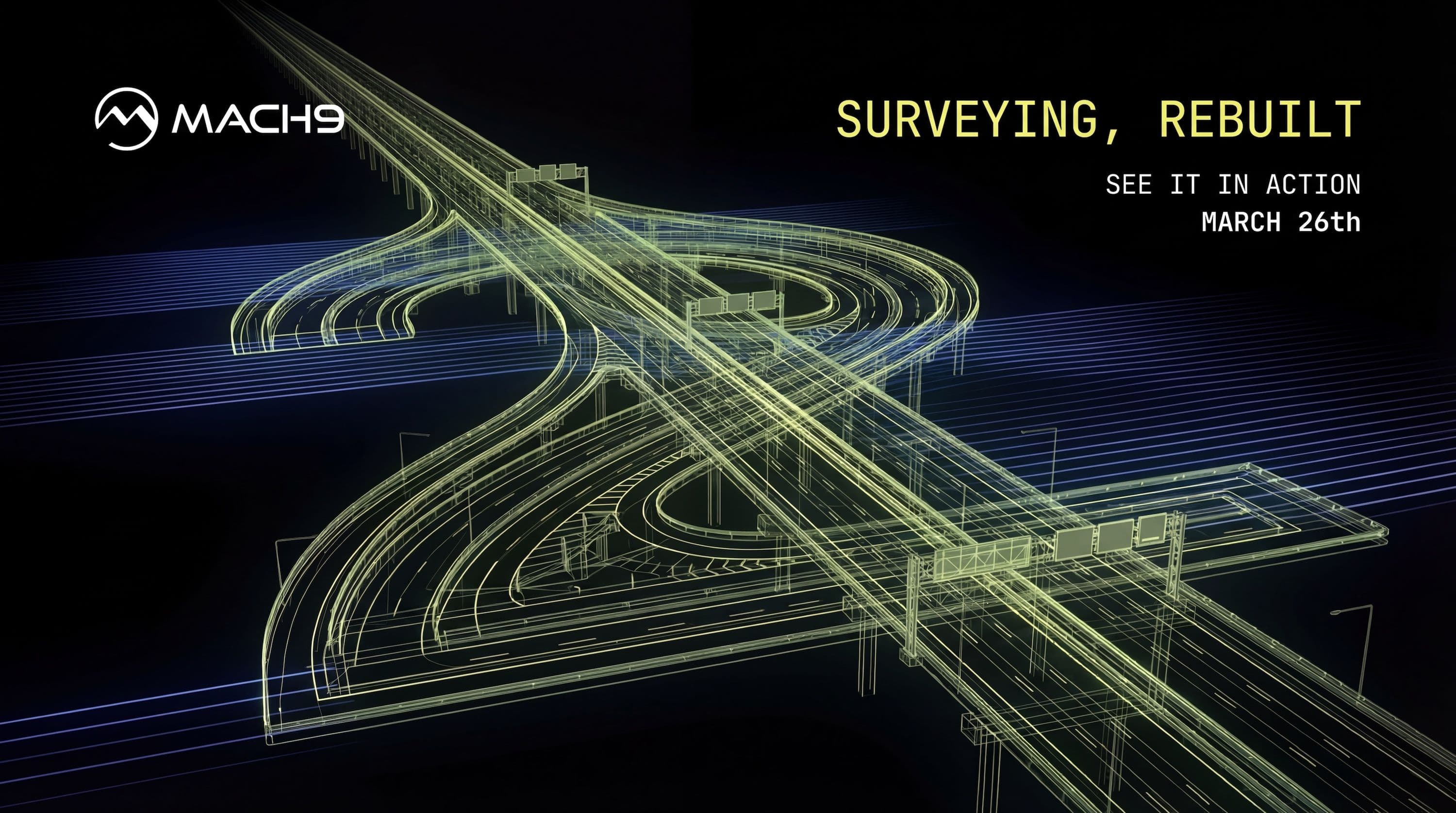
Mach9: See Digital Surveyor 2 in Action
Over the past decade, the industry solved capturing more data, faster. But extraction hasn't kept up — Digital Surveyor 2 is built to change that. See how AI-assisted drafting extracts curbs, pavement markings, utilities, and more at engineering precision and infrastructure scale.