Miles surveyed100,000+Projects delivered2,500+Features extracted11M+Hardware partnersRiegl / Trimble / Leica
Blog

Field notes from the Mach9 team

Writing on automated mapping, the geospatial industry, and how we're building software for survey and engineering teams.

Glossy 3D atoms linking into molecules and then into stacked interface components, transitioning into a black-and-white pixel field
Featured·October 1, 2026

Building an Evolving Design System

None of us are writing that much code by hand anymore. How we audited Mach9's Storybook, reorganized it around atomic design, and put the rules where the code gets written.

By Niya Panamdanam · Software Engineer, UI

Read post →

More posts

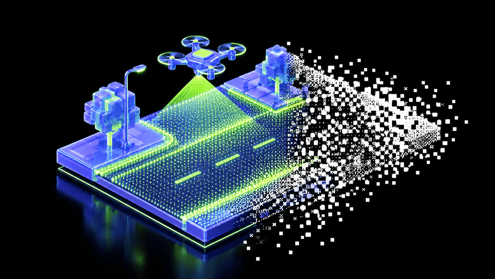
A glossy 3D drone scanning a road segment into a dense grid of points, transitioning into a black-and-white point cloud
September 30, 2026

How dense does drone LiDAR need to be for automated linework?

Drone LiDAR density guidance for feature extraction, not just terrain. How many points per square meter automated linework needs, what drone data can give you today, and the flight settings that get you there.

By Mach9

Read post →
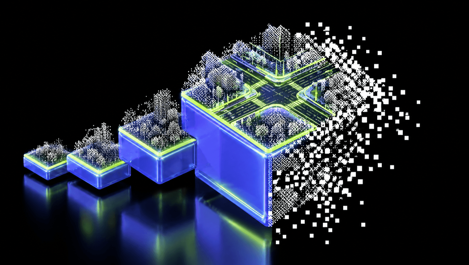
Rising glossy 3D blocks of point clouds, the tallest topped by an intersection drawn in lime linework, transitioning into a black-and-white point cloud
September 29, 2026

Best LiDAR processing software in 2026: 13 tools compared

The best LiDAR processing software in 2026, from classification to CAD extraction. How 13 tools compare on automation, data support and pricing.

By Mach9

Read post →
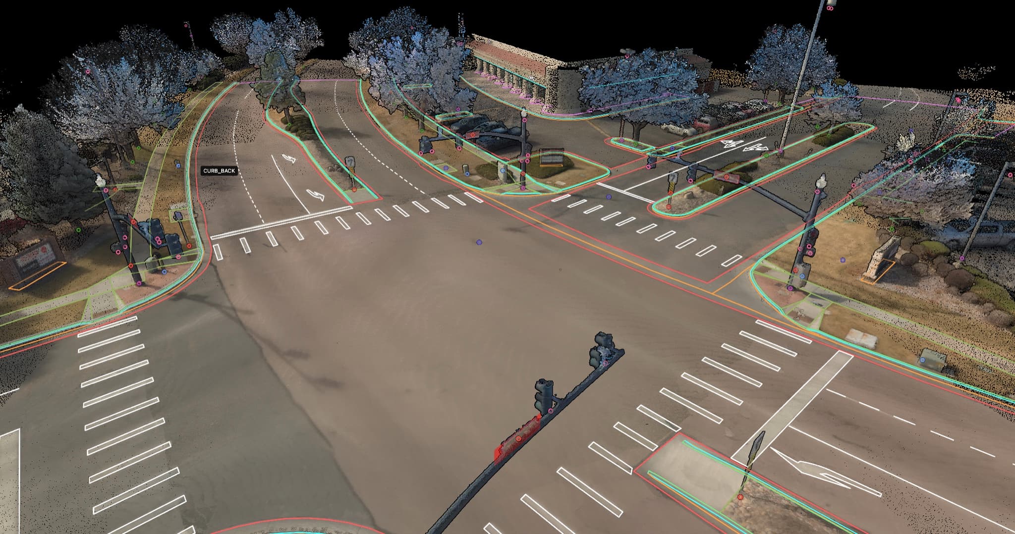
Point cloud of a roadway intersection with extracted linework overlaid in the Mach9 viewer
August 26, 2026

Scanning more projects starts in the office

Capture got faster and hardware got cheaper, but the crew still goes out. The real constraint is feature extraction in the office, and it's finally moving.

By Seth Gulich

Read post →
Now introducing TINs: a TIN surface rendered over the point cloud of a winding residential street
July 31, 2026

Introducing TINs: Build, QA, and Export Surfaces Directly with Mach9

Generate TIN surfaces from your extracted linework, QA them against the point cloud, and export LandXML to CAD, all with Mach9.

By Seth Gulich

Read post →
A solid 3D cube structure transitioning into a black-and-white point cloud
June 26, 2026

Mach9 vs. TopoDOT: Comparing LiDAR Point Cloud Extraction Software (2026)

A 2026 comparison of Mach9 (Digital Surveyor 2) and TopoDOT for LiDAR point cloud extraction: drafting workflow, CAD compatibility, pricing, and scale.

By Mach9

Read post →
A 3D attention network radiating from a central query point and dissolving into pixels
June 16, 2026

3D Attention That Knows Where to Look

A visual story of 2D and 3D Multi-Scale Deformable Attention, and the open-source msda-triton kernels that make it fast.

By Mach9 Robotics

Read post →
Glowing circuit board chip dissolving into a pixel halftone pattern
May 18, 2026

Why Data Is the Missing Link for Fixing America's Infrastructure Problems

America's infrastructure earned a C-minus — and the usual explanations miss a less obvious problem: how little we actually know about our physical world.

By Alexander Baikovitz

Read post →
Isometric telecom towers on a geospatial terrain platform dissolving into pixels
May 18, 2026

The Value of the Viewer — Solving the Information Gap

How instant access to real-world spatial data improves engineering and operations workflows.

By Alexander Baikovitz

Read post →
Retro desktop computer dissolving into cloud and network icons
May 18, 2026

Building CAD Software in the Cloud

The big lesson from 2010s software was that cloud is king. Why cloud won — and why Mach9 builds AI-native surveying software in the cloud, not the desktop.

By Zachary Sussman

Read post →
Book a demo