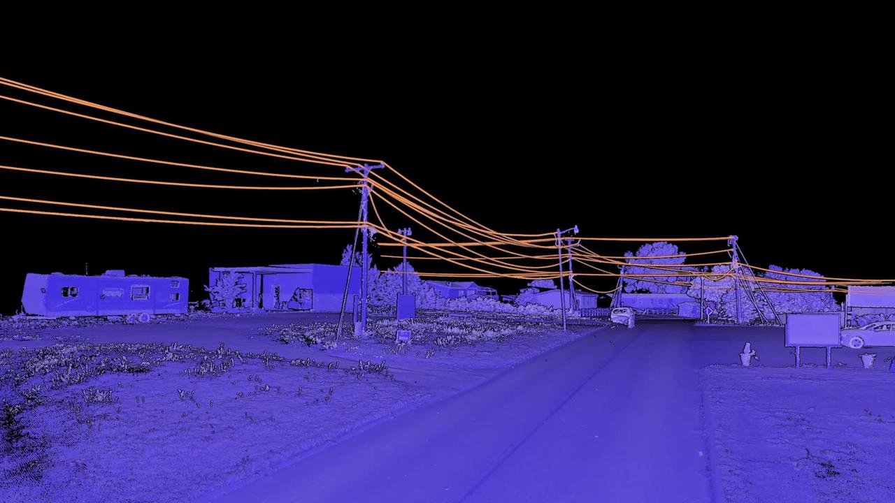
3 days vs. 60+ with traditional methods.
“We backload the decision-making to the office, so the right people make the right calls with the right data. This is the future of how design gets done.”

Nicholas Pena
VP of Engineering, Fibersmith
Turn reality capture data into fiber engineering packages with AI-assisted feature extraction. Deliver at centimeter-level accuracy and infrastructure scale, with Mach9 speed.





3 days vs. 60+ with traditional methods.
“We backload the decision-making to the office, so the right people make the right calls with the right data. This is the future of how design gets done.”
Nicholas Pena
VP of Engineering, Fibersmith
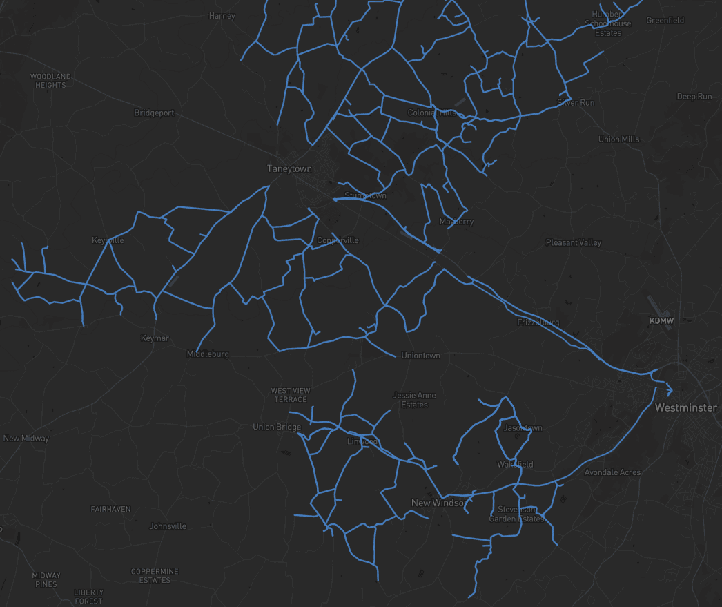
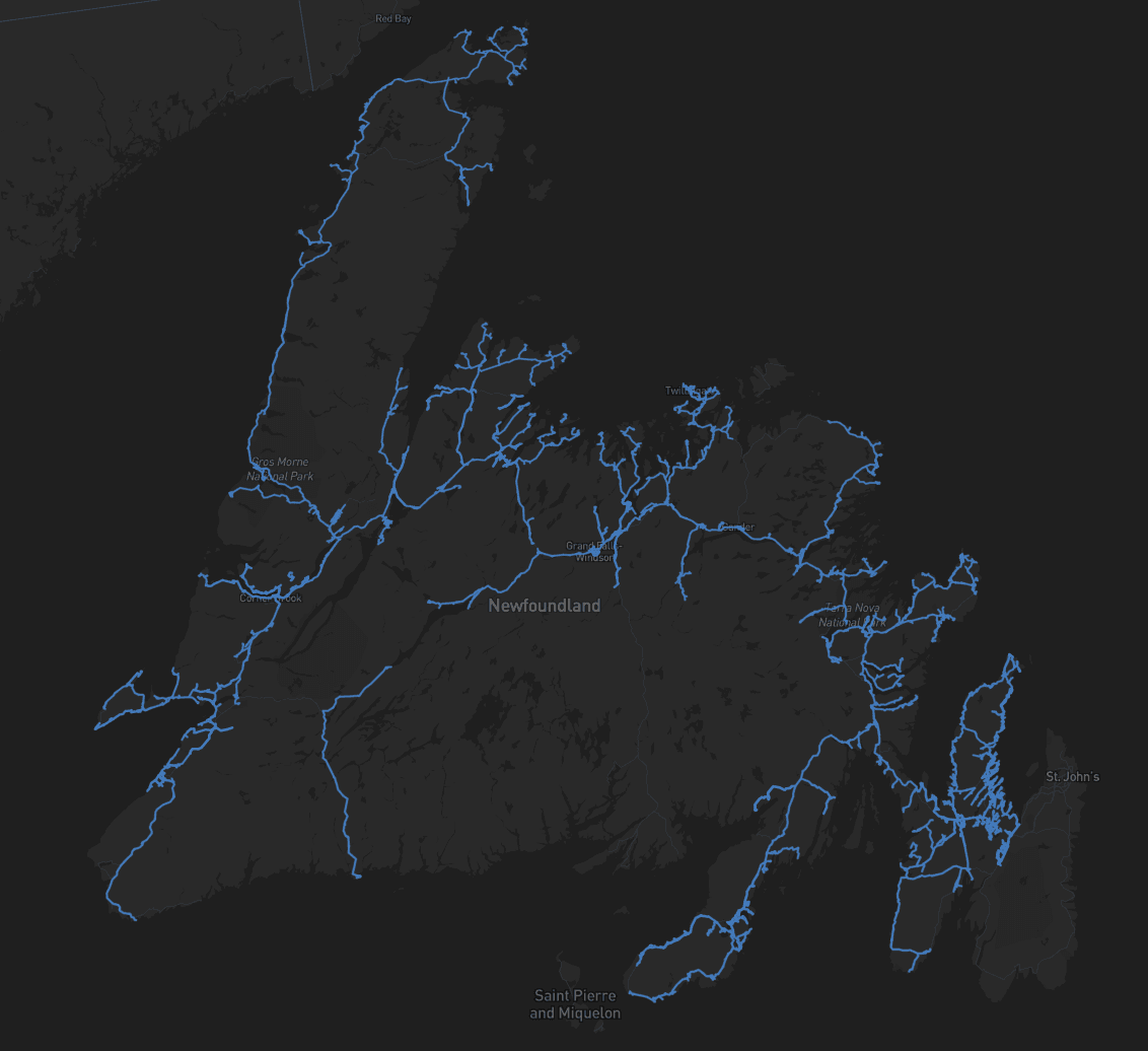
7,900 km delivered in 6 weeks.
“Instead of beginning from scratch, Mach9 gave us a full network upfront, so we could immediately identify gaps. If there was ambiguity in the data, we could revisit it instantly, review the object, and get a decision in minutes.”

Alex Hill-Stosky
Manager, Reality Capture Development & Regulation, Eagle Engineering and Consulting
From tracing point clouds to reviewing AI-generated assets.
“With Mach9, we now have a state-of-the-art feature extraction workflow. Instead of spending hours tracing objects in a point cloud, we directly review Digital Surveyor's AI-generated assets.”

Katy Sprenger
GIS Specialist, TrueNet Communications
SPEED
A 100-mile fiber route's make-ready package used to take months. Drafting in Mach9 runs under an hour per mile.
DRAFTING PER MILE
ECONOMICS
More margin on every mile. The same corridor at a fraction of the production cost.
LOWER COST
COMPATIBLE
Export as Shapefile, Geodatabase, JSON, DXF, and more. Deliverables that drop into your CAD, GIS, and PLA workflows.
EXPORT FORMATS
Fiber programs move fast. Manual drafting doesn't.
Missing and incomplete data requires sending crews back in the field. Hours in traffic and near energized lines manually collecting data.
Manual workflow bottlenecks cause delays on permit packages. Leading to missed deadlines for broadband funding programs.
Manual drafting creates a production bottleneck, resulting in delays compounding at every stage downstream.
Subbed-out extraction comes back inconsistent, and the cleanup lands back on your team.
From capture to engineering-ready deliverables.
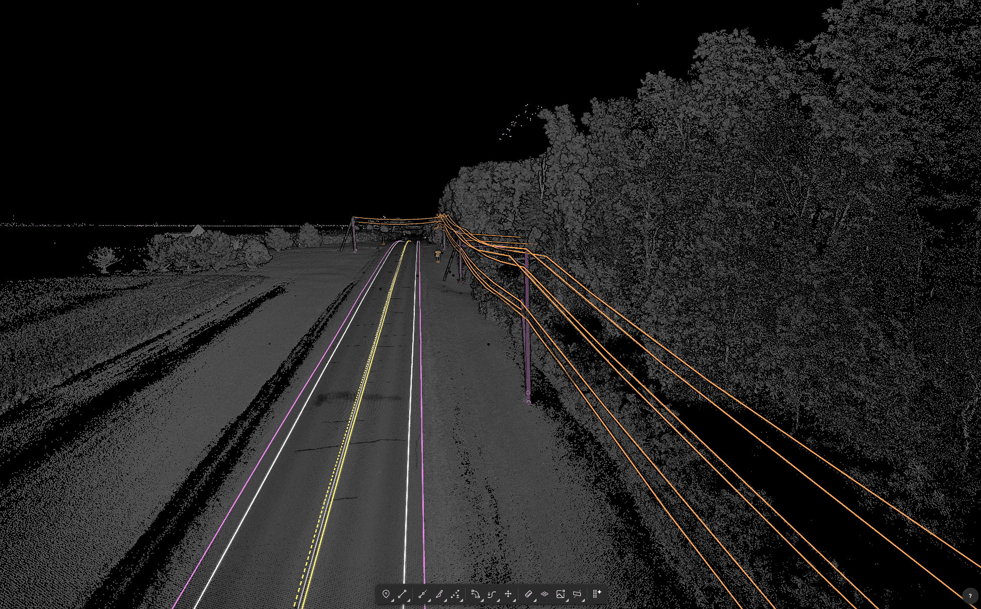
From capture to engineering-ready deliverables.
01 / 03
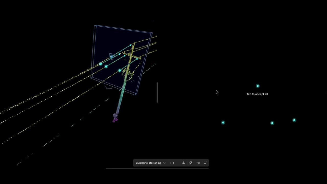
Positions, heights, classes, wires, and attachment points extracted from reality capture. A measured, polished first draft of the whole route, from any scanner.
02 / 03
Semi-automated workflows with full CAD precision for fine-tuning. Seamless QA workflows paired with powerful editing tools like snapping, vertex editing, cross-sections, and more.
03 / 03
CAD and GIS exports, ready for design, pole loading analysis, and permitting. Allowing engineers to review and commit on schedule.
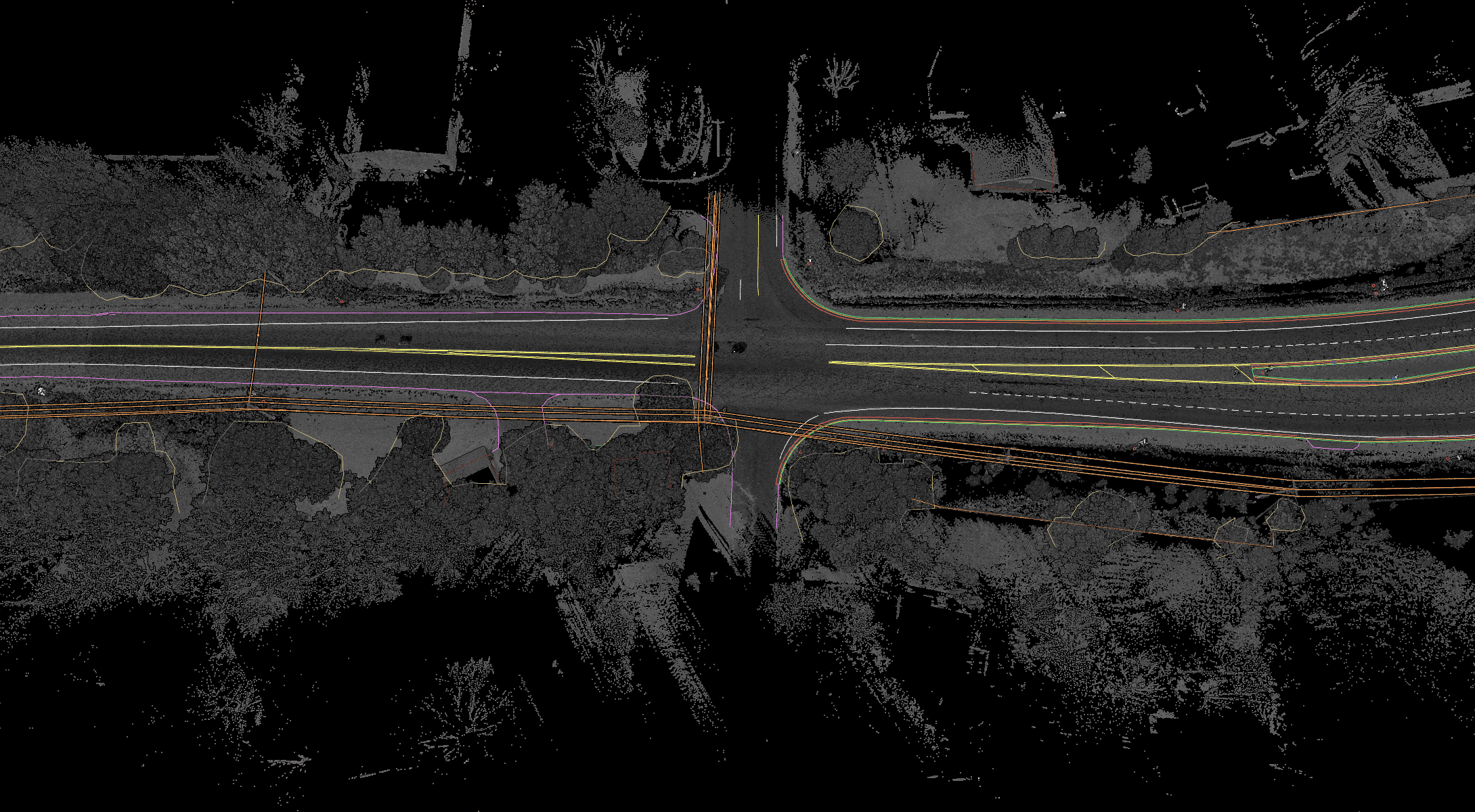
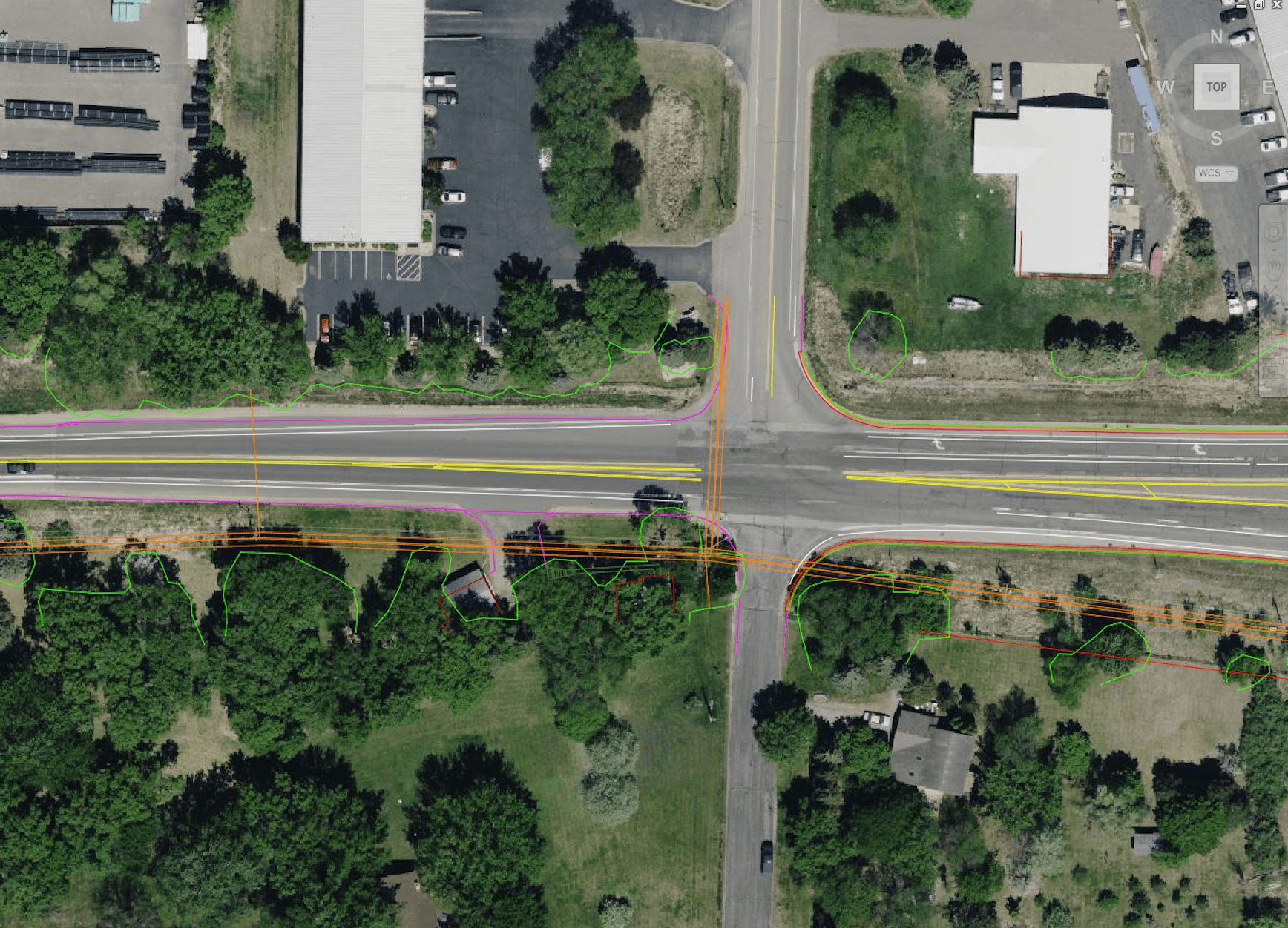
Vehicle, terrestrial, drone, or handheld. Mach9 turns point clouds and imagery from any scanner into deliverables.


Outside plant design, attachment heights, clearance measurements, and span geometry. Complete make-ready packages in days, at a fraction of manual drafting cost.
Long haul routes, underground fiber buildouts, and existing surface features. Hundreds of route miles extracted in weeks, ready for design and permitting.
Topographic survey and mapping for site planning and data center development.
Pole inventory, existing attachments, ownership records, and asset condition. Accurate records at network scale.
Mach9 shaves weeks and weeks off extraction on our civil corridor projects. We can fly through vertices and line work in 3D — half our data is already done before we start verifying.”
A recurring theme in the civil engineering industry is how difficult it is to find trained technicians. Mach9 enables us to do 50% more work with the same experienced team. That's extremely important for us.”
Mach9 changed how our team works. The time we used to spend on manual feature extraction, we now spend on parts that require expert judgment, like resolving edge-case geometry.”
With Mach9, we now have a state-of-the-art feature extraction workflow. Instead of spending hours tracing objects in a point cloud, we directly review Mach9's AI-generated assets.”
One of the best things about Mach9 is that you get immediate value without any learning curve. The feature extraction is super accurate, and you go from point mapping to a design-grade deliverable seamlessly.”
The ability to perform full QA in a single interface, without jumping between systems, has transformed how we approach statewide inventories. Mach9 brought consistency and confidence to our data workflows.”
Step 1 of 3