
“We have encountered never before seen terrain difficulties, and yet, we managed to finish the project a week before the original deadline and 30% under budget.”

Russell Hall
PLS, Langan Engineering
Live webinar: Aerial LiDAR to AI-CAD on Nov 17th
Turn mobile mapping data into CAD linework.
Mach9 drafts curbs, pavement markings, signs, poles and other corridor features from your LiDAR and imagery. Deliver at centimeter-level accuracy, with Mach9 speed.
Book a demo


“We have encountered never before seen terrain difficulties, and yet, we managed to finish the project a week before the original deadline and 30% under budget.”
Russell Hall
PLS, Langan Engineering
“Once we collected the LiDAR, we still had to process, extract, and QA manually, that was where Mach9 came in, to help us maintain accuracy while significantly improving speed.”
Dan McCarthy
President, Eagle Engineering and Consulting
“We made a significant investment in LiDAR technology in anticipation of the industry's shift toward digital data collection. Mach9 enhances the value of that investment by transforming raw field data into engineering-ready deliverables.”

Matt Woolley
Vice President of Information Technology, TrueNet
Upload the point cloud, trajectory and imagery from the system you already drive. Mach9 drafts from all three and exports to your specifications.
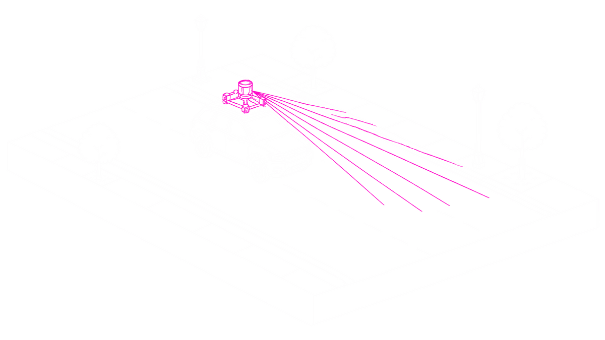
Mach9 is system agnostic and works with all major mobile mapping systems, including Trimble MX, Leica Pegasus, RIEGL VMX, VMY and VMQ, and Phoenix LiDAR.

LAS, LAZ, E57 or Leica LGSx point clouds, with the trajectory and imagery.
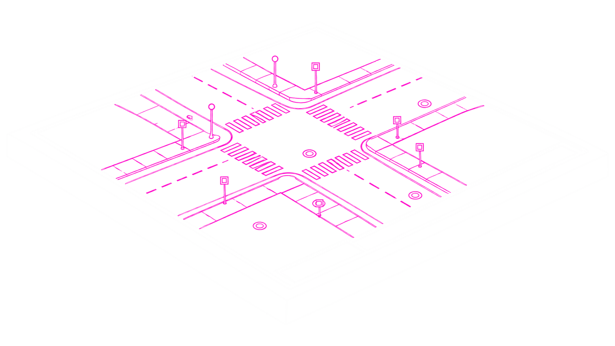
DXF, DWG, LandXML, Shapefile, Geodatabase, CSV or Field-to-Finish CSV, to your specifications.
01 / 05
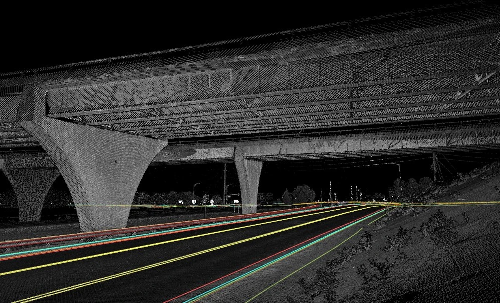
Get edge of pavement, curbs, pavement markings by color and line type, crosshatch, sidewalks, guardrails, barriers and rumble strips automatically drafted as editable linework.
With Mach9, customers run corridor projects like these 10x faster per technician.
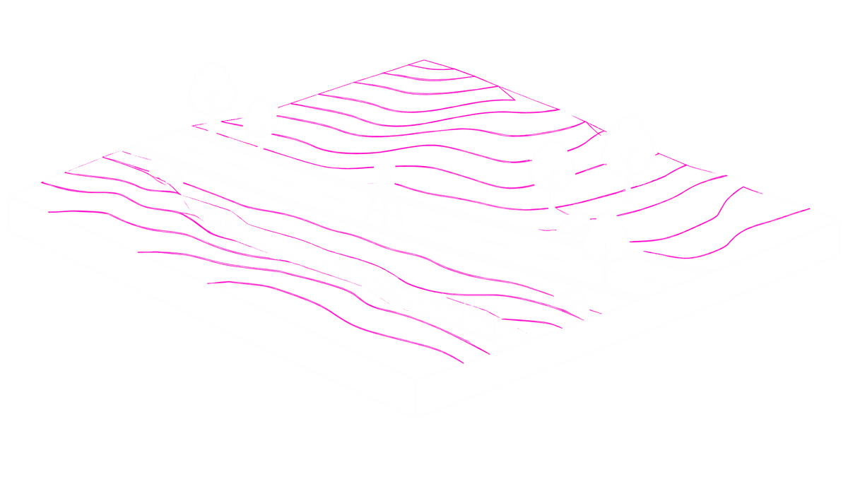
Design-grade topographic surveys, exported to CAD.
Langan case study →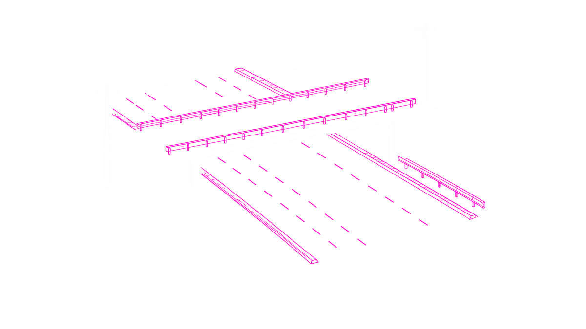
Survey-to-CAD drafts of highway corridors with curb and gutter, utility poles and embankments.
Olsson case study →
Statewide sign inventories with MUTCD codes and condition data, reviewed in one interface.
Michael Baker case study →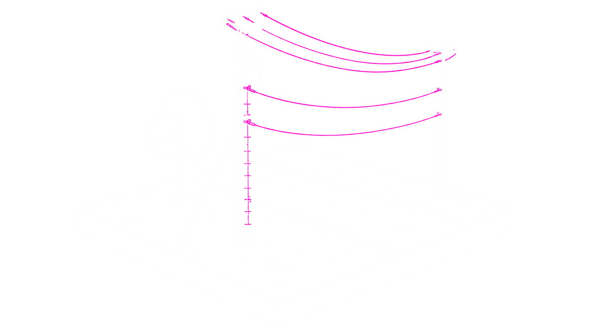
Utility pole audits and make-ready assessments across fiber routes.
Eagle case study →
Permitting maps and design-ready data for broadband networks.
Fibersmith case study →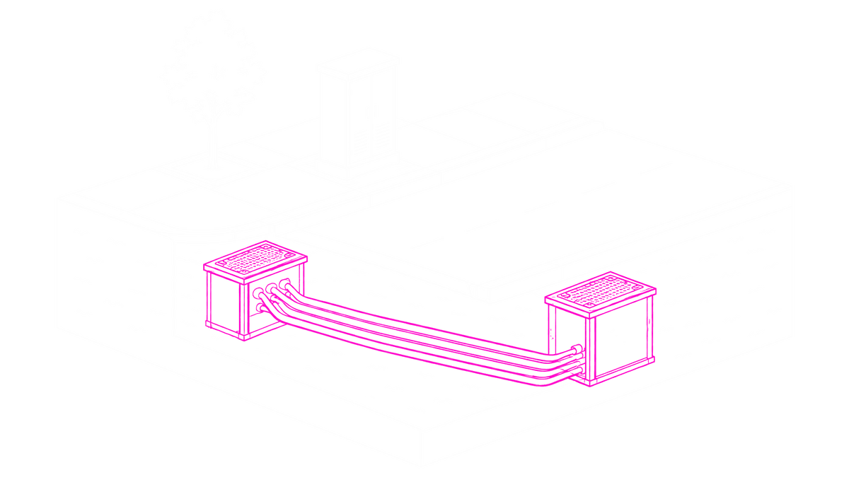
Engineering-ready CAD for underground telecom routes.
TrueNet case study →Trimble MX9, MX50, MX60 and MX90; Leica Pegasus, including native LGSx files; RIEGL VMX, VMY and VMQ; and Phoenix LiDAR systems. Other systems that export the TopoDOT format work too.
Your georeferenced point cloud as LAS, LAZ or Leica LGSx, the trajectory, and calibrated 360° or planar imagery. Mach9 uses the imagery to recognize signs, poles and other assets, so include it when you want objects as well as linework.
Drive at least two passes per corridor, and make sure every feature is seen by at least two of them from within 30 m (100 ft). Capture images about every 10 m (30 ft) at 2K resolution, and collect near midday rather than at night.
No. You don’t need to classify your point cloud before you upload it.
Yes. Every feature stays editable with CAD tools before you export. For each line feature you can also choose whether Mach9 drafts it automatically, suggests it as you work, or leaves it for manual extraction.
DXF and DWG linework, Shapefile, Geodatabase, CSV and Field-to-Finish CSV, plus LandXML for TIN surfaces.
Mach9 shaves weeks and weeks off extraction on our civil corridor projects. We can fly through vertices and line work in 3D — half our data is already done before we start verifying.”
A recurring theme in the civil engineering industry is how difficult it is to find trained technicians. Mach9 enables us to do 50% more work with the same experienced team. That's extremely important for us.”
Mach9 changed how our team works. The time we used to spend on manual feature extraction, we now spend on parts that require expert judgment, like resolving edge-case geometry.”
With Mach9, we now have a state-of-the-art feature extraction workflow. Instead of spending hours tracing objects in a point cloud, we directly review Mach9's AI-generated assets.”
One of the best things about Mach9 is that you get immediate value without any learning curve. The feature extraction is super accurate, and you go from point mapping to a design-grade deliverable seamlessly.”
The ability to perform full QA in a single interface, without jumping between systems, has transformed how we approach statewide inventories. Mach9 brought consistency and confidence to our data workflows.”
Step 1 of 3
