Total miles extracted23,000+Projects delivered500+Features extracted10M+Hardware partnersRIEGL / TRIMBLE / LEICA
IndustriesSurvey and Engineering

Extract, validate, and deliver projects faster.

WITH MACH9

Turn reality capture data into engineering-ready CAD and GIS deliverables with AI-assisted feature extraction. Deliver at centimeter-level accuracy and infrastructure scale, with Mach9 speed.

NV5
Michael Baker
Woolpert
Olsson
HNTB
Bowman
Hanson

Teams shipping faster with Mach9.

  • Feature extraction for the full project, start to finish.

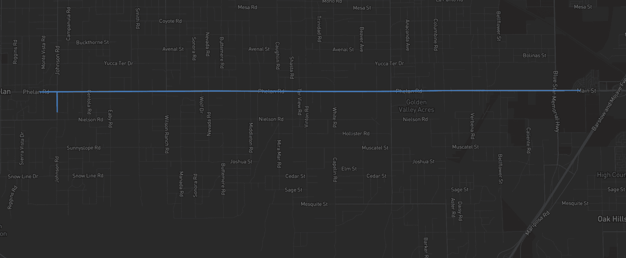
    We completed the entire 9-mile design-grade survey end-to-end in Digital Surveyor, combining automated extraction with manual QA/QC workflows.
    Russell Hall, PLS

    Russell Hall, PLS

    Mobile Mapping Manager, Langan Engineering

  • 60% faster survey-to-CAD workflows.

    Digital Surveyor changed how our team works. The time we used to spend on manual feature extraction, we now spend on parts that require expert judgment, like resolving edge-case geometry.
    Eddie Fossler

    Eddie Fossler

    Vice President and Quality Management Leader, Olsson

  • Weeks off extraction on civil corridor projects.

    Mach9 shaves weeks and weeks off extraction on our civil corridor projects. We can fly through vertices and line work in 3D — half our data is already done before we start verifying.
    Matthew Skibba

    Matthew Skibba

    Director of Reality Capture, Feldman Geospatial

Deliver more work with the team you have.

SPEED

Traditional CAD drafting runs about 5 days per mile. Drafting in Mach9 runs under half a day per mile.

< ½ day

DRAFTING PER CORRIDOR MILE

ECONOMICS

More margin on every mile. The same corridor at a fraction of the production cost.

0%

LOWER COST

CONTROL

Deliverables that hit the accuracy standard each contract calls for. Linework that holds up to your requirements.

Design-grade

ACCURACY

Problems we solve.

The bottleneck isn't your field crew. It's what happens after.

  • 01

    Manual drafting can't keep pace

    Traditional manual drafting turns every project win into more office backlog before the client sees a deliverable.

  • 02

    Margin leaks on fixed-price work

    The price was set at bid. Every hour of manual linework and every rework cycle after QC comes straight out of your margin.

  • 03

    New hires take months to ramp up

    Qualified technicians are scarce, and a new one takes months to reach production speed.

  • 04

    Disconnected workflows spanning multiple platforms

    Delivering one project from field to finish means moving the data through three or four different programs.

The production engine behind your deliverables.

From capture to engineering-ready deliverables.

01 / 03

AI-ASSISTED EXTRACTION

A polished first draft.

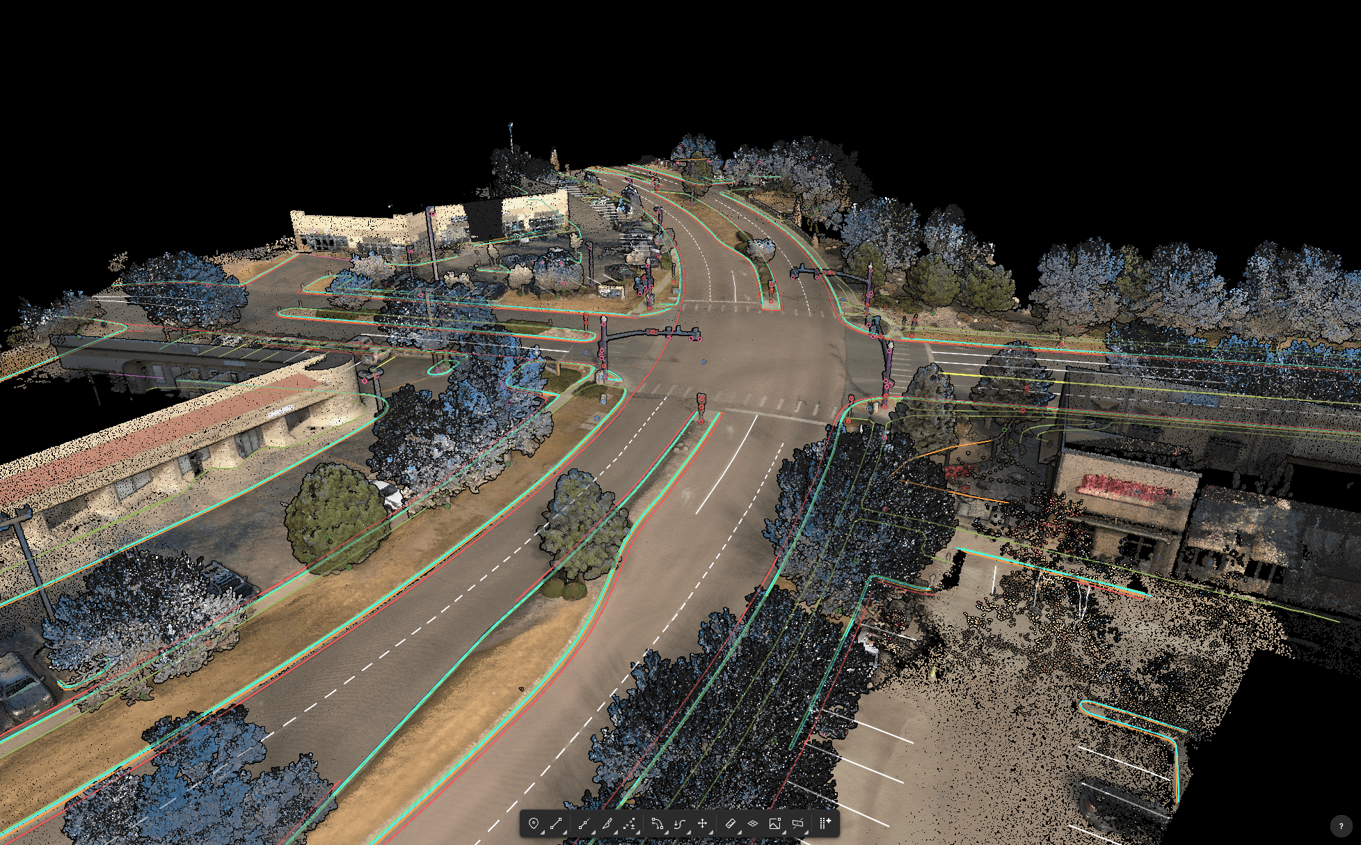
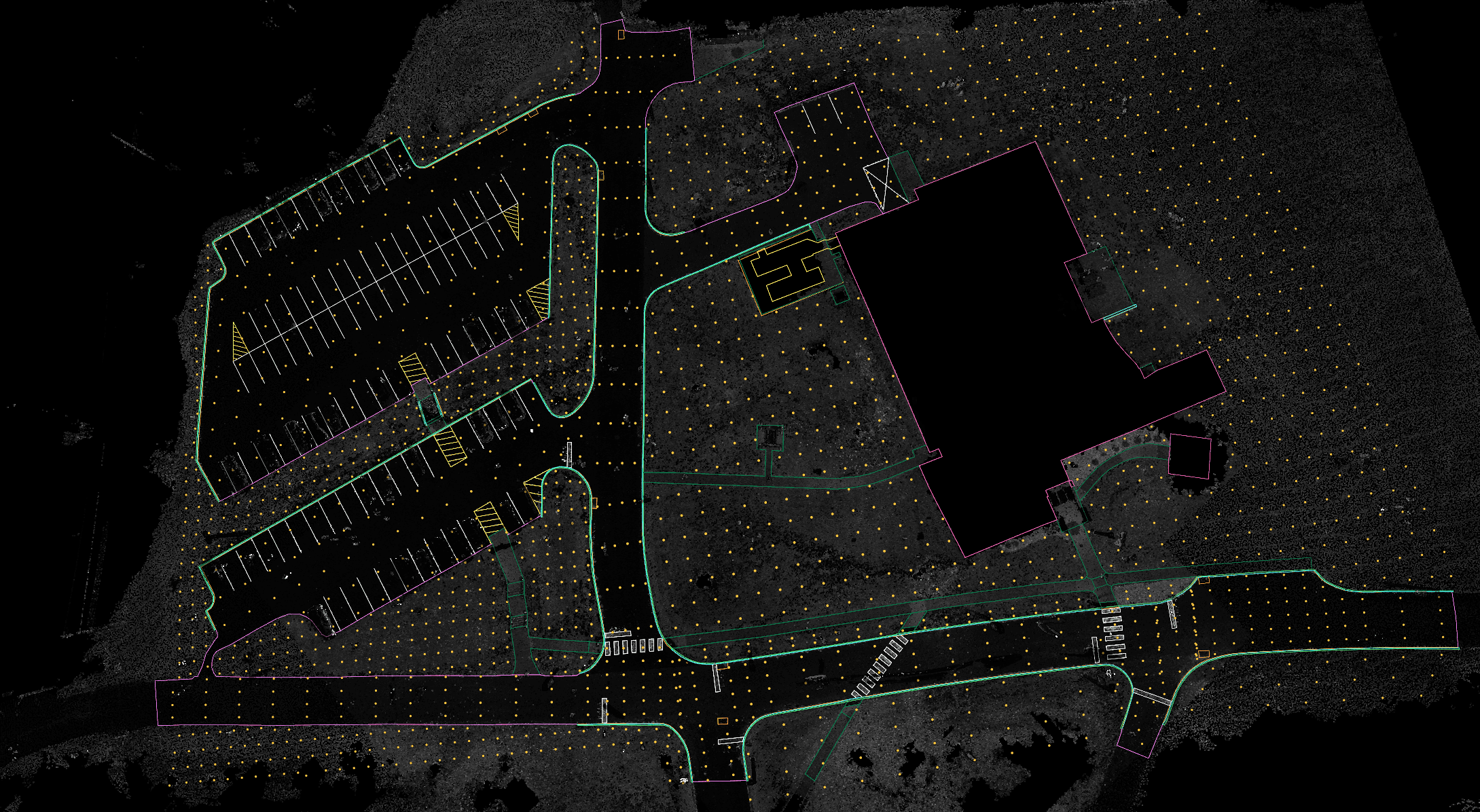
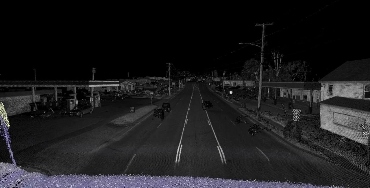
Breaklines, point features, and surfaces extracted from the point cloud at centimeter-level accuracy. Your team starts from a polished first draft, ingested from any scanner.

A polished first draft.

02 / 03

OPERATOR CONTROL

Your team stays in control.

Semi-automated workflows with full CAD precision for fine-tuning. Seamless QA workflows paired with powerful editing tools like snapping, vertex editing, cross-sections, and more.

03 / 03

ENGINEERING-READY DELIVERABLES

On client spec.

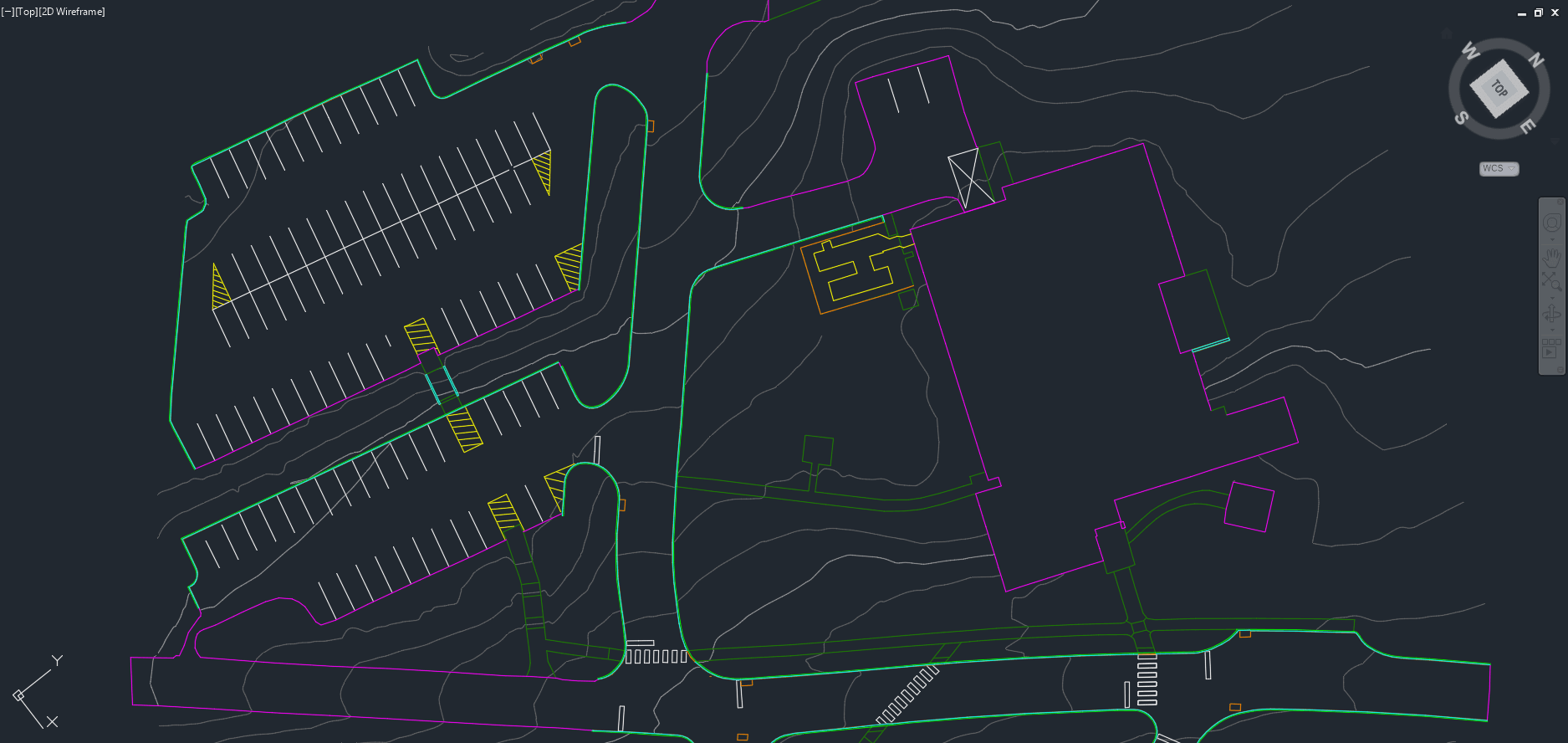
Customize and export schema-aligned CAD and GIS deliverables with the standards your clients require. Easily deliver consistent outputs across every office.

Point Cloud
Topo & As-Built
Point Cloud
Topo & As-Built

Supported scanning systems

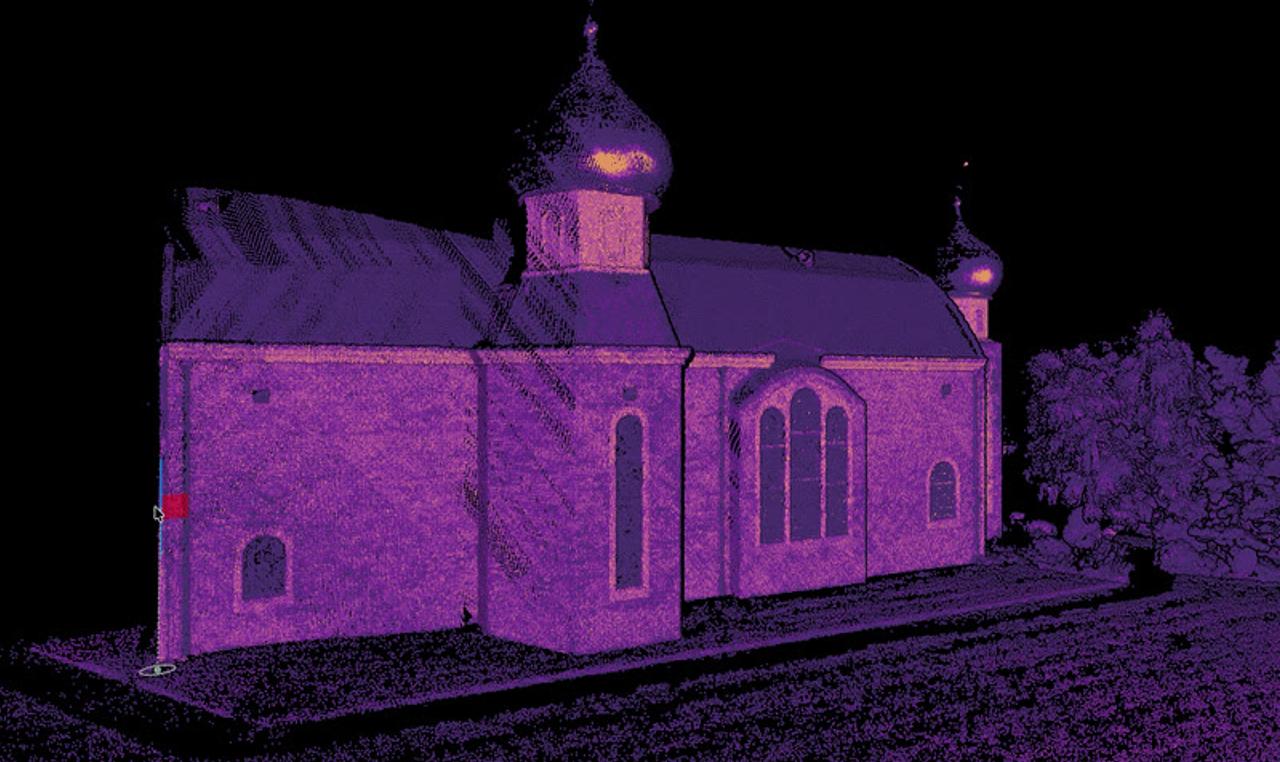
Vehicle, terrestrial, drone, or handheld. Mach9 turns point clouds and imagery from any scanner into deliverables.

NavVisTrimbleLeica
Teledyne
RIEGLPhoenix

Built for the projects on your books.

  • Site survey.

    ALTA, land development, site planning, and topographic mapping. Design-grade existing conditions from your point cloud.

  • Utilities.

    Electric transmission and distribution, water utilities, and broadband and fiber routing. Poles, conductors, and route features extracted at network scale.

  • Transportation survey.

    Corridor mapping, planimetrics, intersection surveys, airports, and road and highway design surveys. Base maps extracted at scale and delivered on schedule.

  • Asset management.

    Sign inventory, pole inventory, guardrail and barriers, and safety asset management. Coded attributes on customizable schemas to match each deliverable's specifications.

Engineering-ready deliverables ahead of schedule.

Send us a sample dataset and see Mach9 in action on your own data. Cut time and cost without sacrificing accuracy.