
Mach9 News
Product updates, company announcements, and mapping industry insights
Read the latest news from Mach9, including product updates, company announcements, partnerships, and insights on automated 3D mapping, LiDAR feature extraction, and infrastructure project delivery.

Featured·NOVEMBER 4, 2026
Mach9 now works in the sky
Turn data from drones, helicopters, and planes into finished survey deliverables faster with Mach9’s AI CAD software.
Read article →More news
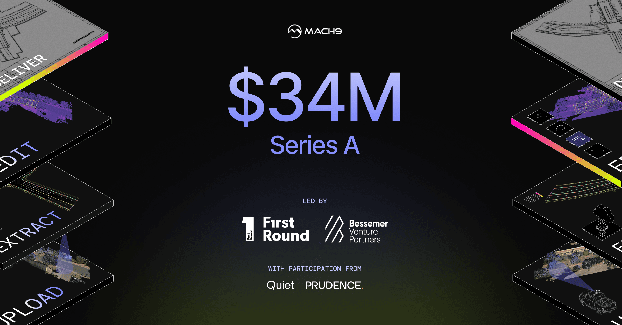
OCTOBER 21, 2026
Mach9 Raises $34M Series A to Bring Civil Engineering into the AI Era
Read article →
MAY 6, 2026
Mach9 Customers Unlock New Productivity Gains with Seamless Leica LGSx Integration
Read article →
MARCH 19, 2026
Mach9 Unveils Its Next-Generation Platform: a New Standard for LiDAR Feature Extraction
Read article →
NOVEMBER 14, 2024