Live webinar: Aerial LiDAR to AI-CAD on Nov 17th

Data sourcesTerrestrial/SLAM

Mach9 works wherever you walk

Turn terrestrial and SLAM scans into CAD linework.

Easily locate and extract curbs, pavement markings, and other small site features while getting consistent results from any terrestrial scan. Deliver at centimeter-level accuracy, with Mach9 speed.

Book a demo
NV5
Michael Baker
Woolpert
Olsson
HNTB
Bowman
Hanson

What terrestrial and SLAM teams say about Mach9

  • “We started using scan data for more and more projects, but our existing tools couldn't keep up with the volume or the manual drafting that followed. We needed a faster way to turn scans into CAD as our workload grew. That's what we found in Mach9.”
    Dylan Kachline

    Dylan Kachline

    Land Survey Technician, GPD Group

  • “A recurring theme in the civil engineering industry is how difficult it is to find trained technicians. Mach9 enables us to do 50% more work with the same experienced team. That's extremely important for us.”
    Rob Ashley

    Rob Ashley

    HDLS Technology Director, Pennoni

  • “With the time allowed by the increased efficiency with the Mach9 workflow, we’re bringing in more data, we’re bringing in more work, and keeping more in-house as well.”
    Nicholas Liquori

    Nicholas Liquori

    Assistant Project Manager, Reality Capture, Feldman Geospatial

Works with your scanner and your CAD

Register your scans the way you do today. Mach9 uses your registered point cloud and panoramic images to export linework to your specifications.

  • 01

    Scanners

    Leica RTC series, RIEGL VZ series, Trimble X and SX series, NavVis VLX and MLX, and other scanners that export E57 with panoramas or LAS.

  • 02

    What you upload

    Registered scans as E57 with panoramas, Leica LGSx, LAS or LAZ.

  • 03

    What you export

    DXF, DWG, LandXML, Shapefile, Geodatabase, CSV or Field-to-Finish CSV, to your specifications.

What Mach9 does with terrestrial and SLAM data

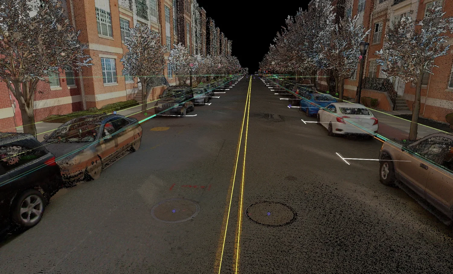
Centerline, curb and parking stall linework drafted along a city street lined with parked cars and row houses, in a colorized terrestrial scan

01 / 05

Get curbs, edge of pavement, pavement markings and sidewalks automatically drafted as editable linework.

Projects teams take on with Mach9

These scans suit smaller sites and outdoor areas a vehicle can’t drive.

  • 01

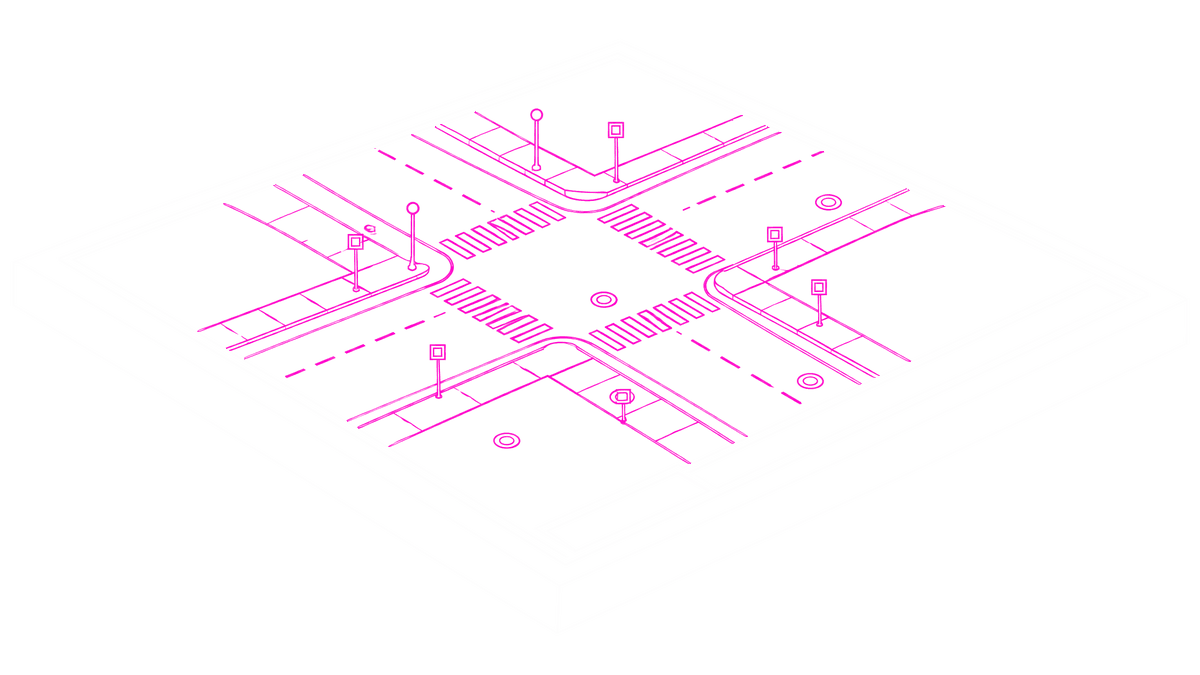
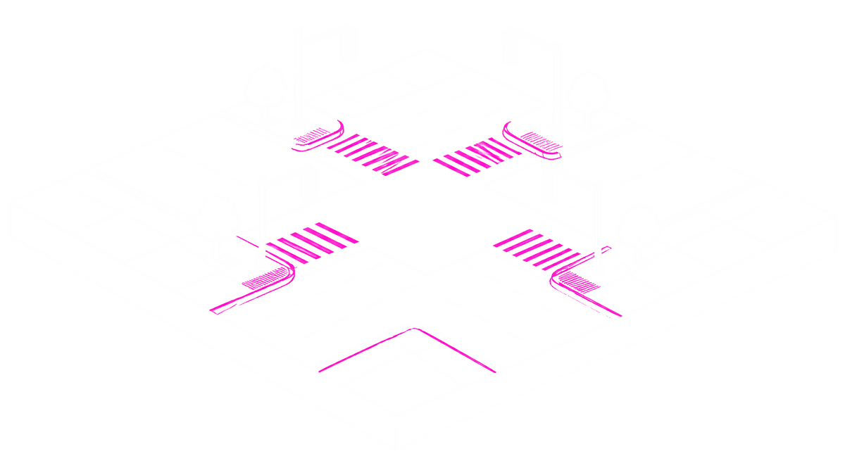
    Intersection surveys

    Surfaces, curbs, markings and signals for intersections and short roadway segments.

  • 02

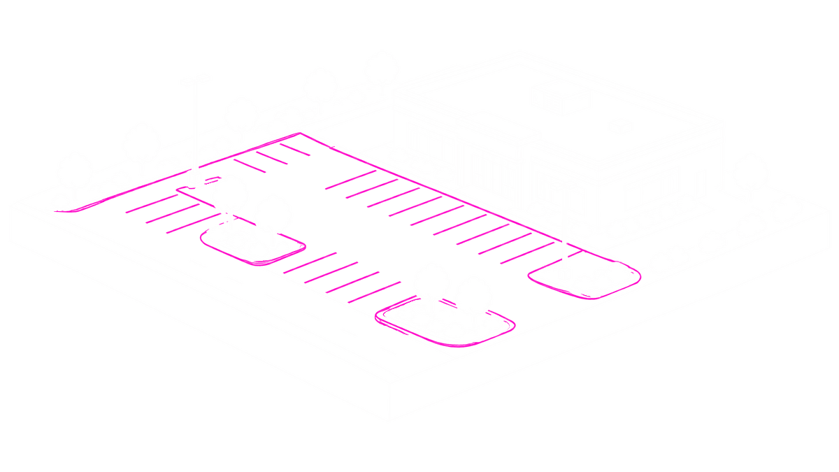
    Site topos and planimetrics

    Surfaces, breaklines and site features for parking lots and other small sites.

  • 03

    ALTA surveys

    Built features and topography for ALTA work and other small, high-volume jobs.

Frequently asked questions

Which terrestrial and SLAM scanners does Mach9 support?

Leica RTC series, including the RTC360 (LGSx from Register360); RIEGL VZ series; Trimble X and SX series (TopoDOT export from Trimble Business Center); and NavVis VLX and MLX. Other scanners that export E57 with panoramic images, or georeferenced LAS or LAZ, can work too. Ask us about yours.

Does Mach9 register my scans?

No. Register your scans to a project coordinate system before upload.

Do I need to include images?

Include panoramic images when you can. Mach9 needs them to detect objects such as signs, and they improve linework too.

How dense should my scans be?

Terrestrial scans are very dense near each setup, so decimate them to 10 to 20 mm point spacing in your registration software before you upload.

Does Mach9 work on building interiors?

Not today. Mach9 is built for outdoor sites, roads and corridors.

What can I export?

DXF and DWG linework, Shapefile, Geodatabase, CSV and Field-to-Finish CSV, plus LandXML for TIN surfaces.

See it in action on your own scan data

Mach9 shaves weeks and weeks off extraction on our civil corridor projects. We can fly through vertices and line work in 3D — half our data is already done before we start verifying.”
Matthew Skibba
Director of Reality Capture, Feldman Geospatial

Step 1 of 3

RegisterBook a demo