
Introducing TINs: Build, QA, and Export Surfaces Directly with Mach9
By Seth Gulich
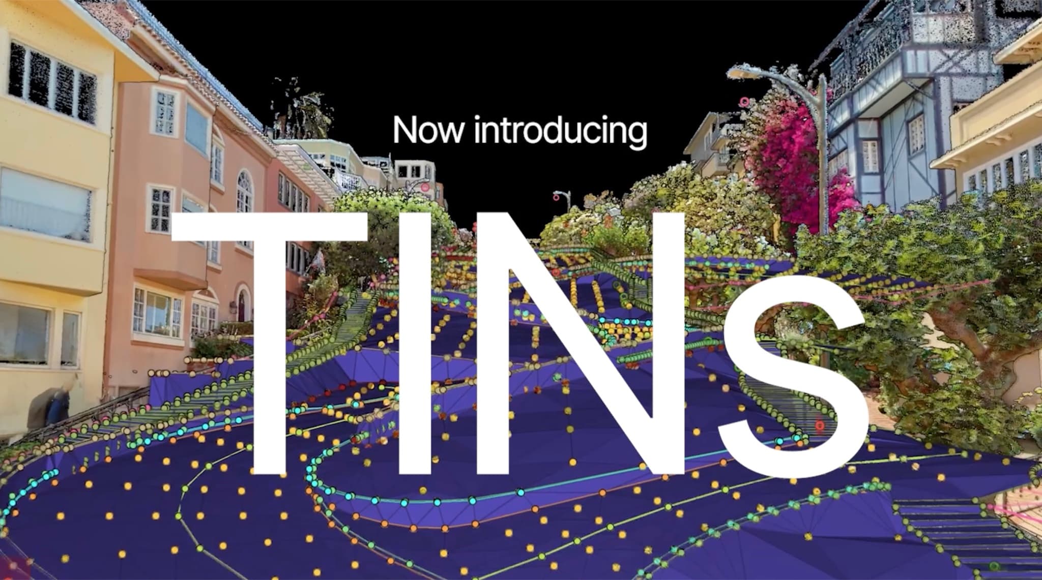
The handoff where projects slow down
In most LiDAR workflows, the surface model is built in a different tool than the linework it comes from. Extraction happens in one environment. Then the linework is exported to CAD, re-checked, modified, and triangulated there, away from the point cloud it came from.
That handoff has real costs. When a triangle looks wrong in CAD, the point cloud that would clarify it isn't there. When linework changes in a separate environment, it creates two sources of truth. Every trip between environments is another chance for versions to drift.
New from Mach9: TINs
Starting with this release, you can build the surface where you built the linework. Pick a closed boundary, choose the source layers that should drive the surface, and generate in three clicks. Mach9 runs a constrained triangulation that honors your breaklines and renders the result as fill, wireframe, and contours, directly on top of the point cloud.
Generation runs in the background, so a large corridor surface doesn't stop you from working while it computes.
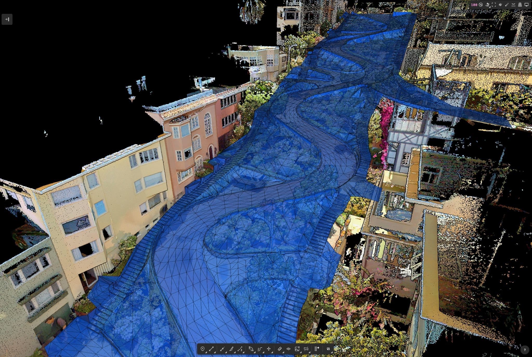
QA with the point cloud behind it
Because the TIN renders in the same viewer as the source data, verifying a suspect area means looking at it directly instead of round-tripping files to another tool. Diagnostics pin problem areas in the scene, and you can step through them from the keyboard and fix them.
When something needs a manual call, the surface stays fully editable:
- Edit the mesh directly. Flip edges and delete triangles, with every edit undoable.
- Draw exclusion zones. Around structures and anything else that shouldn't be modeled as ground.
- Snap to the surface. New TIN surface and edge snap modes are available when you turn them on, for drawing and measuring against the finished model.
- Trim slivers with one setting. Cap the max edge length and long, gap-spanning triangles drop out of the surface immediately.
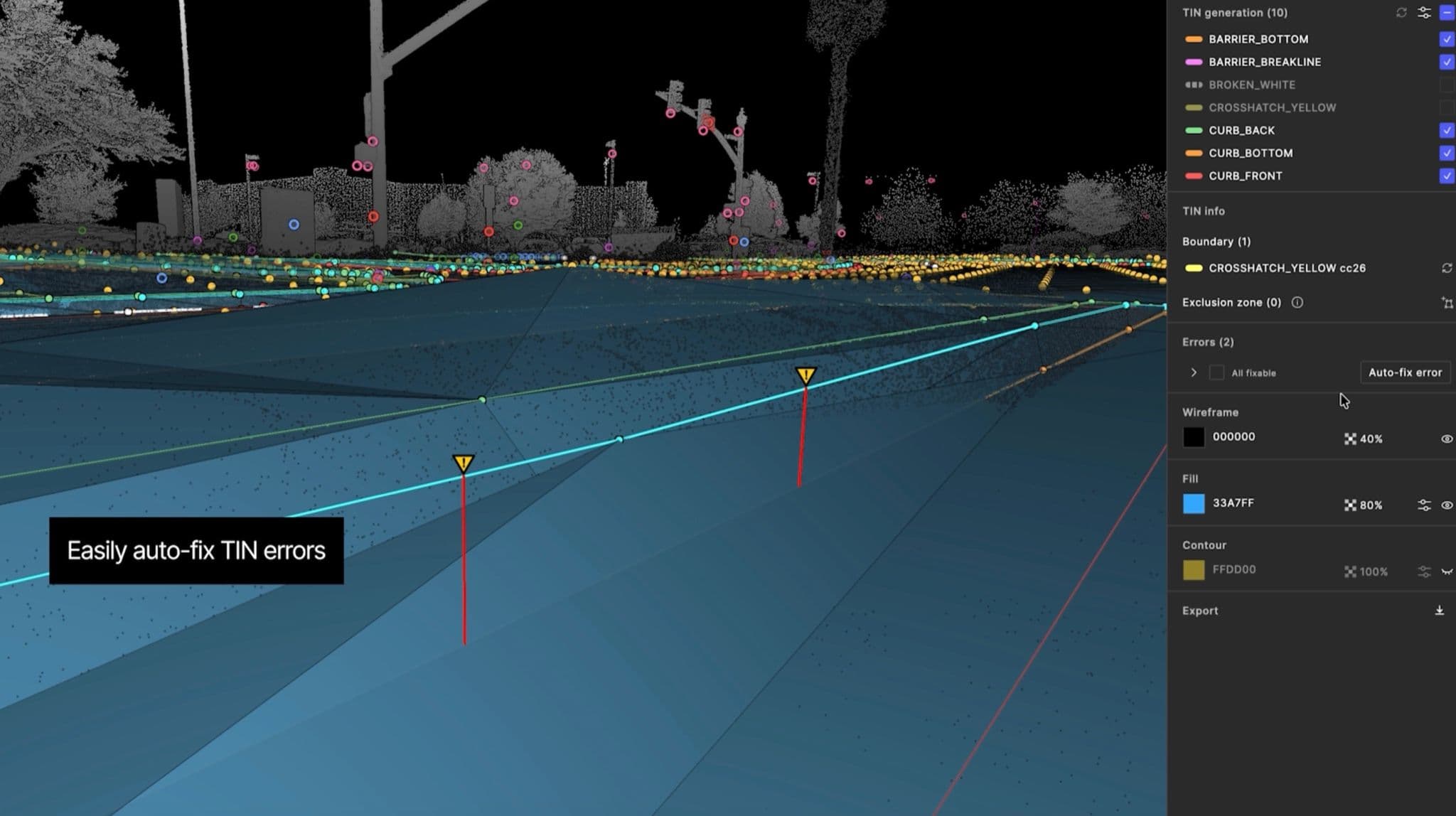
The surface stays current
Extracted geometry changes; that's what QA is for. When source linework moves after a surface is generated, Mach9 marks the TIN stale instead of letting it silently drift. Regenerate when you decide, and lock the surface when it's final.
Everything autosaves to the project as you work, so everyone in the project sees the current surface without passing exported files around.
Export LandXML when you're ready
When the surface is right, export it as LandXML in your project's coordinate system, a detected CRS, or a custom one, with contours included if you want them. Dropping straight into Civil 3D, OpenRoads, or whatever comes next in your design pipeline.
Keeping your workflow in one platform
TINs finish a workflow we started building earlier this year. Grid of Points gave teams a way to probe terrain and generate the ground points a surface model is built from. Until now, those points still had to leave for CAD to become a surface. With this release, the surface model is built and checked in the same environment as the point cloud it came from. Representing another step towards helping teams work and collaborate efficiently, instead of relying on outdated, disconnected workflows.
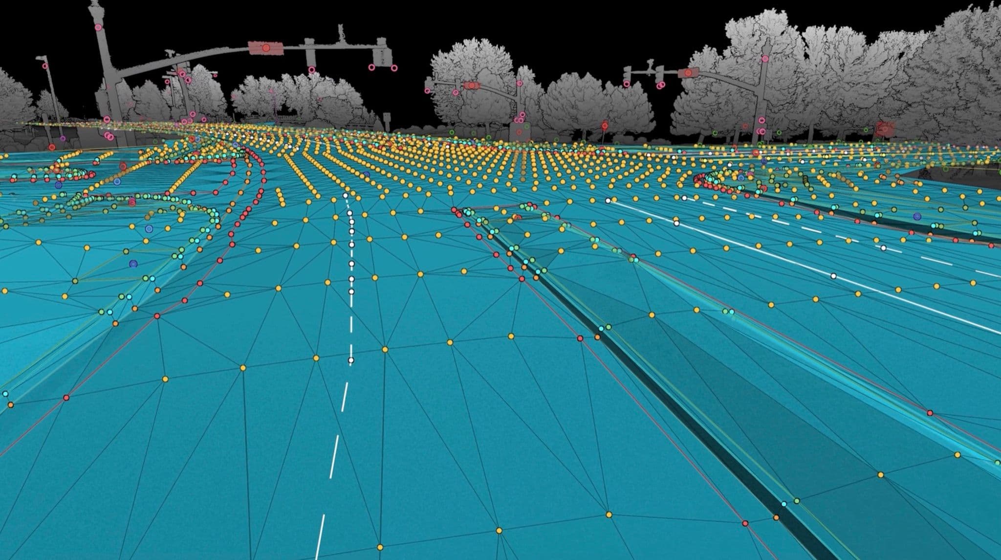
Try TINs
Book a demo and see it in action on your own dataset.
Turn weeks of drafting into hours

Mach9 shaves weeks and weeks off extraction on our civil corridor projects. We can fly through vertices and line work in 3D — half our data is already done before we start verifying.”
A recurring theme in the civil engineering industry is how difficult it is to find trained technicians. Mach9 enables us to do 50% more work with the same experienced team. That's extremely important for us.”
Mach9 changed how our team works. The time we used to spend on manual feature extraction, we now spend on parts that require expert judgment, like resolving edge-case geometry.”
With Mach9, we now have a state-of-the-art feature extraction workflow. Instead of spending hours tracing objects in a point cloud, we directly review Mach9's AI-generated assets.”
One of the best things about Mach9 is that you get immediate value without any learning curve. The feature extraction is super accurate, and you go from point mapping to a design-grade deliverable seamlessly.”
The ability to perform full QA in a single interface, without jumping between systems, has transformed how we approach statewide inventories. Mach9 brought consistency and confidence to our data workflows.”
Director of Reality Capture, Feldman GeospatialRob Ashley
HDLS Technology Director, PennoniEddie Fossler
VP & Quality Management Leader, OlssonKaty Sprenger
GIS Specialist, TruenetDiana Wohlfarth
PennoniJeff Tornatore
Project Manager, Michael Baker International
Step 1 of 3