Turning roadway assets into actionable data for State DOTs
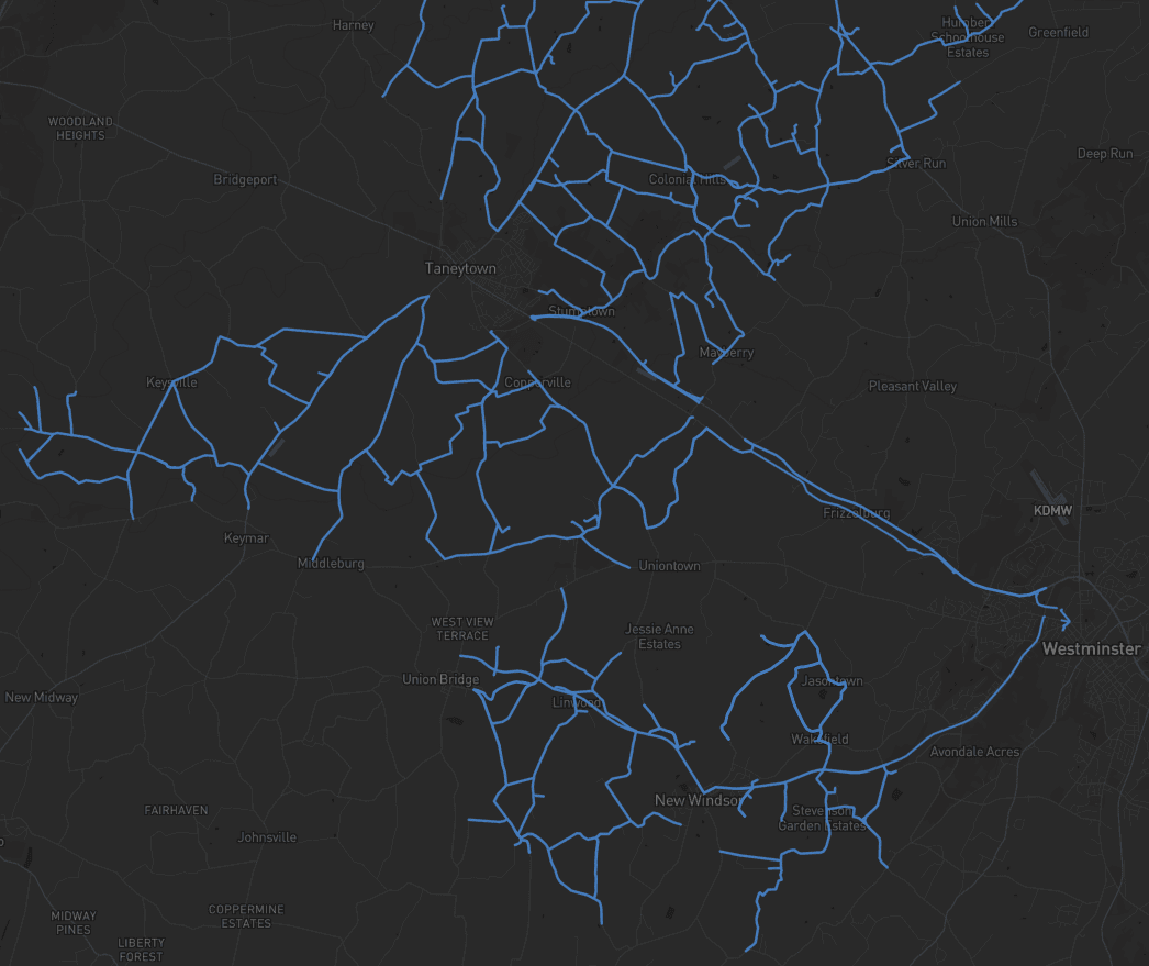
Michael Baker partnered with one of the nation’s largest state DOTs to modernize how sign data is captured, validated, and delivered — covering more than 2,500 miles and extracting over 65,000 assets with over 99% accuracy.
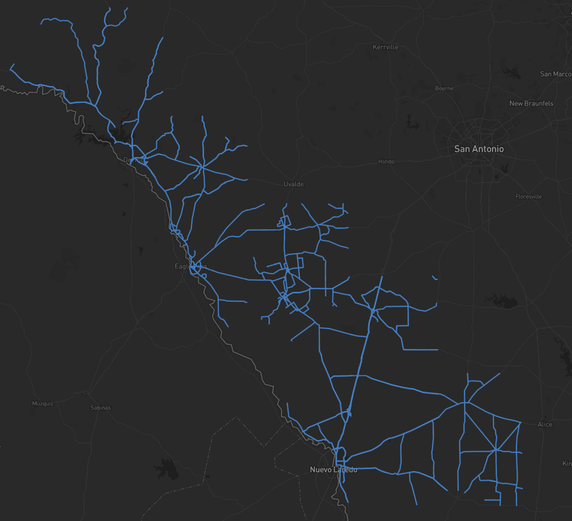
Modernizing statewide sign inventory at DOT scale.
Departments of Transportation (DOTs) are entrusted to manage and maintain extensive roadway networks to facilitate safe and efficient mobility and foster economic growth. Building on this commitment, Michael Baker International, Inc. (Michael Baker) partnered with one of the nation’s largest state DOTs to develop a comprehensive sign inventory program that capitalized on rich mobile LiDAR data and high-resolution terrestrial imagery.
Michael Baker accepted the challenge to implement a reliable and scalable asset inventory solution that eliminates the conventional, and slow, boots-on-the-ground approach, while maximizing safety, return on investment (ROI), and delivering defensible results.
Following two successful proofs of concept for a different state DOT, Michael Baker adopted Mach9 Digital Surveyor to modernize how sign data is captured, validated, and delivered, covering more than 2,500 miles and extracting over 65,000 assets with over 99% accuracy.
Disconnected tools. Multi-terabyte datasets. An accelerated schedule.

We had to pass data through five different systems just to get it into the field. It wasn’t sustainable.
Sign asset inventories and retroreflectivity assessments have traditionally exceeded the capabilities of AI tools, requiring manual processes often influenced by technician subjectivity. Michael Baker teams previously relied on disconnected tools, like Google Maps and spreadsheets, to manage sign inventories. These workflows could only target automation and processing efforts on discrete sensor data in a compartmentalized way, which required an increased quality assurance effort. Data had to be cleaned and verified across multiple systems before deployment, leading to redundancies, gaps, and added resource demands to ensure results were trustworthy and defensible for planning, maintenance, and life cycle cost analysis (LCCA).
- 01Disconnected legacy tools. Teams previously relied on Google Maps, spreadsheets, and compartmentalized point-tools to manage sign inventories.
- 02Redundant QA across systems. Data had to be cleaned and verified across multiple platforms before deployment, creating gaps and resource demands.
- 03Technician subjectivity. Manual retroreflectivity and MUTCD coding varied between reviewers, undermining defensibility for LCCA and planning.
- 04Scale & schedule. Multi-terabyte mobile LiDAR datasets, detailed asset attribution requirements, and an accelerated statewide timeline.
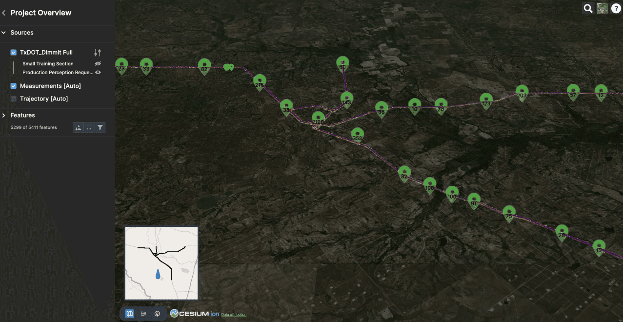
One interface. Full QA. Machine-learned sign extraction at DOT scale.
Michael Baker deployed Digital Surveyor to automate sign feature extraction, streamline data validation, and provide web-based visualization of the point cloud, oriented imagery, and extracted assets. The system used machine learning models to extract sign faces, associate them with physical assemblies, and apply consistent Manual on Uniform Traffic Control Device (MUTCD) codes. Refined Quality Assurance (QA) tools allowed the production team to review and approve data directly within a shared cloud environment providing real-time updates across all project stakeholders.
- 01ML sign-face extractionMachine learning models extract sign faces from mobile LiDAR and terrestrial imagery, associating them with their physical assemblies automatically.
- 02Consistent MUTCD codingEvery extracted sign is tagged with a consistent Manual on Uniform Traffic Control Device code — removing technician subjectivity from the inventory.
- 03Single-interface QARefined QA tools let the production team review and approve data directly in a shared cloud environment — no jumping between five disconnected systems.
The ability to perform full QA in a single interface, without jumping between systems, has transformed how we approach statewide inventories. Mach9 brought consistency and confidence to our data workflows.
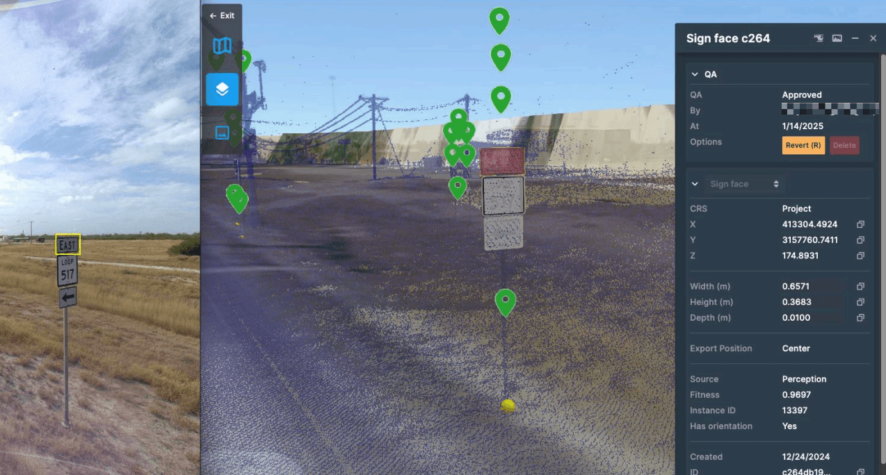
Sign extraction and MUTCD coding in a single shared interface.
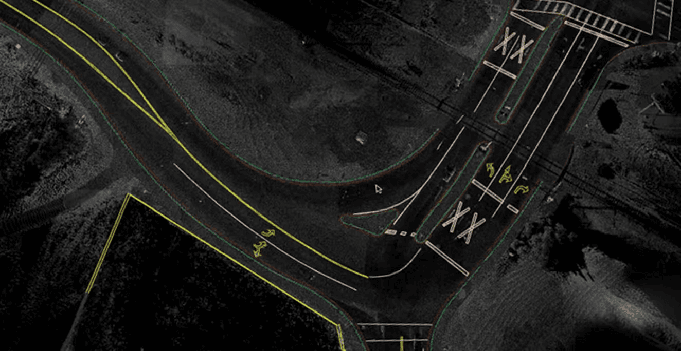
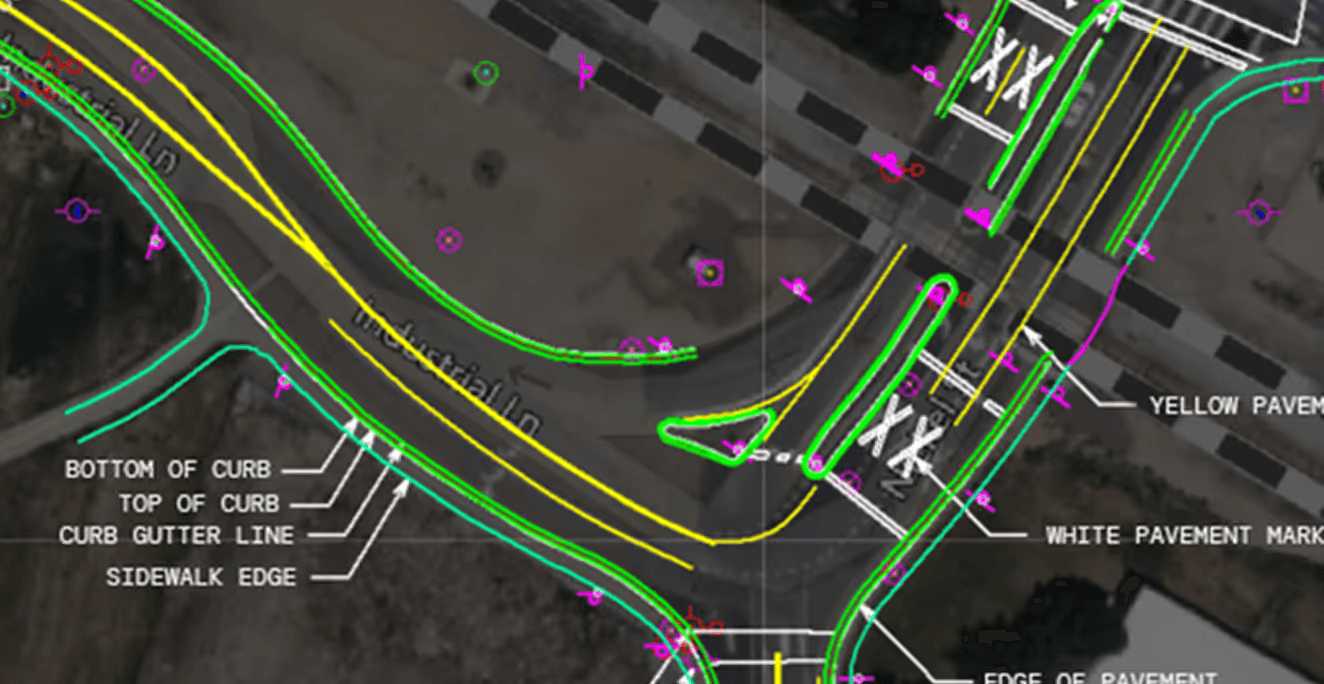
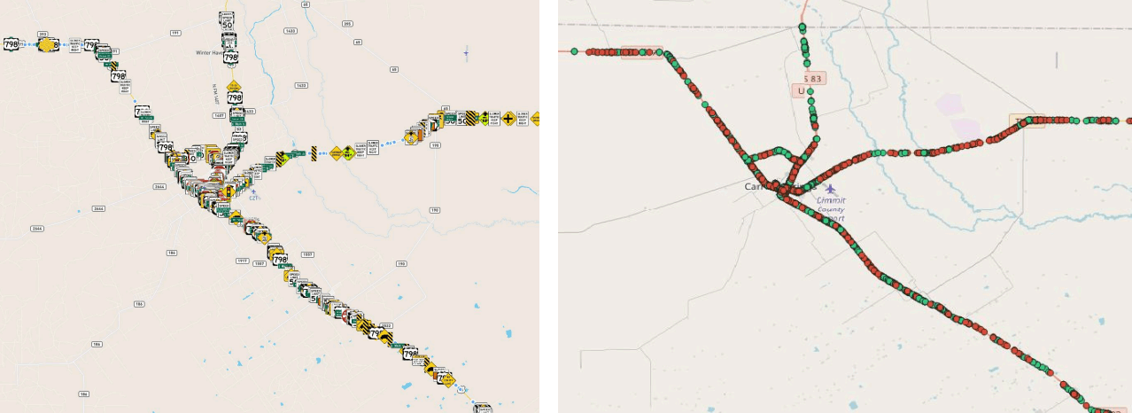
Full visibility into sign condition across every county in the district.
With Digital Surveyor, the team gained full visibility into sign condition across all counties in the district, creating scalable digital records to support project delivery and regulatory compliance.
- 01Accelerated maintenance responseWith real-time access to asset condition and age, the DOT can quickly prioritize repairs, reducing response times and minimizing risk from damaged or missing signs.
- 02Improved planning and capital forecastingAccurate asset data feeds directly into engineering design, capital programming, and detour planning, allowing teams to proactively manage corridor upgrades and compliance requirements.
- 03Scalability across asset types and regionsThe DOT and MBI now have a repeatable, scalable system for extending sign inventory workflows to other asset categories and across districts.
Having used Digital Surveyor on several projects to great success, it’s certainly a tool that will be at the forefront of our approach moving forward for similar programs with other DOTs or large municipalities.

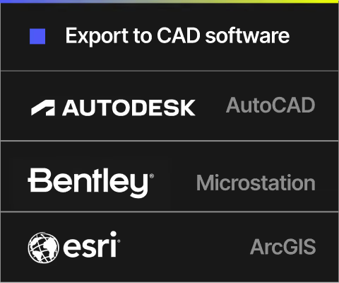
Digital Surveyor works with the data Michael Baker already collects.






Michael Baker International is a leading provider of geospatial, architectural, engineering and consulting services, including design, planning, environmental, construction and program management. The company provides its comprehensive range of services and solutions to support U.S. federal, state, and municipal governments, foreign allied governments, and a wide range of commercial clients. Michael Baker’s nearly 5,000 employees across nearly 100 locations are committed to a culture of innovation, collaboration and technological advancement to help solve challenges for clients and communities throughout the country.

Mach9 is a geospatial technology company focused on automating feature extraction from mobile mapping data. Designed for engineering teams, Mach9’s AI-driven tools help convert LiDAR and imagery into accurate, actionable GIS and CAD-ready outputs, improving asset visibility, accelerating project timelines, and enhancing infrastructure management. Mach9 supports clients across transportation, utilities, and public works sectors seeking to scale asset intelligence and automate survey-grade data processing.
More case studies
See all →
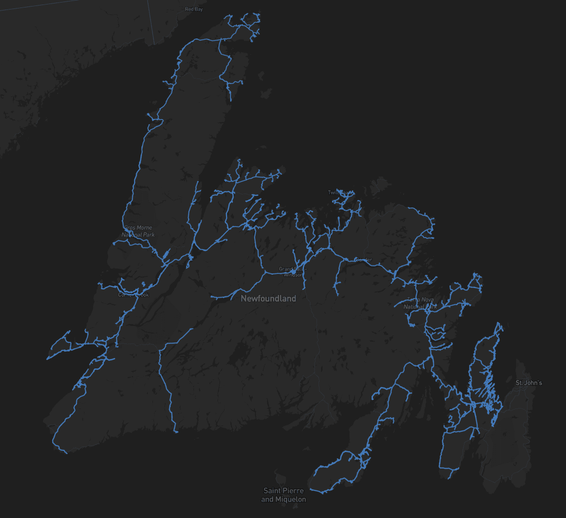
Accelerating Rural Broadband Expansion Through Automation and Visibility

Data Collection First, Decisions Later: A Smarter Way to Design Broadband

Taking a Topographic Survey Start-to-Finish with Mach9 Digital Surveyor
Turn weeks of drafting into hours

Mach9 shaves weeks and weeks off extraction on our civil corridor projects. We can fly through vertices and line work in 3D — half our data is already done before we start verifying.”
A recurring theme in the civil engineering industry is how difficult it is to find trained technicians. Mach9 enables us to do 50% more work with the same experienced team. That's extremely important for us.”
Mach9 changed how our team works. The time we used to spend on manual feature extraction, we now spend on parts that require expert judgment, like resolving edge-case geometry.”
With Mach9, we now have a state-of-the-art feature extraction workflow. Instead of spending hours tracing objects in a point cloud, we directly review Mach9's AI-generated assets.”
One of the best things about Mach9 is that you get immediate value without any learning curve. The feature extraction is super accurate, and you go from point mapping to a design-grade deliverable seamlessly.”
The ability to perform full QA in a single interface, without jumping between systems, has transformed how we approach statewide inventories. Mach9 brought consistency and confidence to our data workflows.”
Director of Reality Capture, Feldman GeospatialRob Ashley
HDLS Technology Director, PennoniEddie Fossler
VP & Quality Management Leader, OlssonKaty Sprenger
GIS Specialist, TruenetDiana Wohlfarth
PennoniJeff Tornatore
Project Manager, Michael Baker International
Step 1 of 3