
White paper
The small site, scanned
What reality capture and AI change about everyday survey work
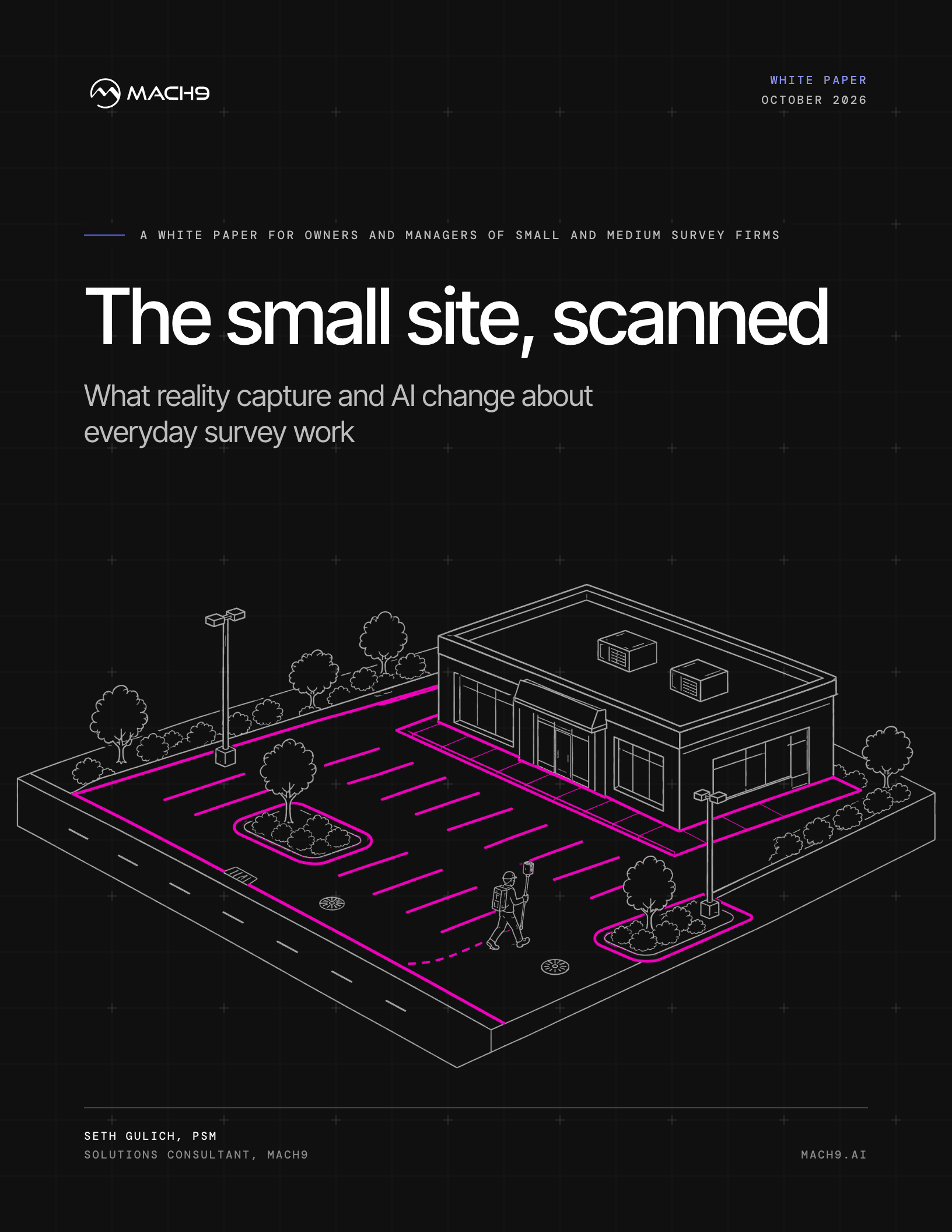
Why reality capture now pencils out for everyday survey work. A white paper for owners and managers of small and medium survey firms.
Free download
Get the white paper
Enter your details and the PDF downloads right away.
What's inside
For most small and medium survey firms, laser scanning has lived on the big jobs: long corridors, large campuses, complex structures. On a 3-acre commercial site with a one-week turnaround, a total station and a two-person crew still looked faster, and on the old office workflow they often were.
That math has changed on both ends. SLAM systems capture a typical site in under an hour, and automated feature extraction produces a first-pass drawing in hours rather than days. The overhead that made scanning a poor fit for small sites is the part that got cheaper: registration, processing, and hand-drafting from the cloud.
This paper is written for owners and survey managers at firms whose bread and butter is site work: ALTA/NSPS surveys, topographic surveys for site design, pad sites, subdivisions, and as-builts. It covers:
- Why scanning was written off for small sites, and which of those objections still hold
- What changed in the field and the office, and how Mach9 changes the office workflow
- The workforce and market forces making this the profession's standard workflow
- How to pencil out a single site project, and how to price it through the learning curve
- Published results from firms that moved extraction onto Mach9
- How to get started: tool choice, people, and process
- Why responsible charge stays with the licensed surveyor
About the author

Seth Gulich, PSM
Solutions Consultant, Mach9
Seth Gulich started as a survey intern on a field crew and moved through point cloud processing, lidar and UAS program management at a national AEC firm, and reality capture consulting for hardware and software manufacturers. He spent five years teaching surveying engineering at Penn State University. He is now a Solutions Consultant at Mach9, working with survey and engineering firms to move feature extraction into production. Seth holds a BS in surveying engineering from Penn State and is a Professional Surveyor and Mapper (PSM) in Florida.