
Mobile vs drone LiDAR for AI-assisted extraction
By Mach9
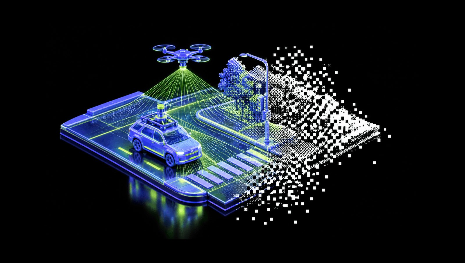
Both mobile mapping and drone LiDAR work for AI-assisted extraction. How much of the linework the AI can draft comes down to whether the data shows each feature clearly: enough points on it, a good angle, and nothing in the way. Mobile mapping gives you that along the road. Drone LiDAR gives you that across a whole site from above.
What AI-assisted extraction needs from the data
The AI drafts what it can see in the data. Four things decide how well it can see a feature:
- Density on the feature. More points on a curb face or a paint line give a cleaner edge to draft from. Thin data means rougher linework and more cleanup.
- Viewpoint. A sensor looking straight at a feature captures it well. A sensor looking down on a vertical face, or past a feature at a shallow angle, captures very little of it.
- What's in the way. Trees, parked cars, fences and buildings leave gaps in the data that the AI can't draft from.
- Imagery. Photos add color and detail the point cloud doesn't have, which helps the AI and the technician tell what they're looking at.
Mobile mapping and drone LiDAR differ on all four.
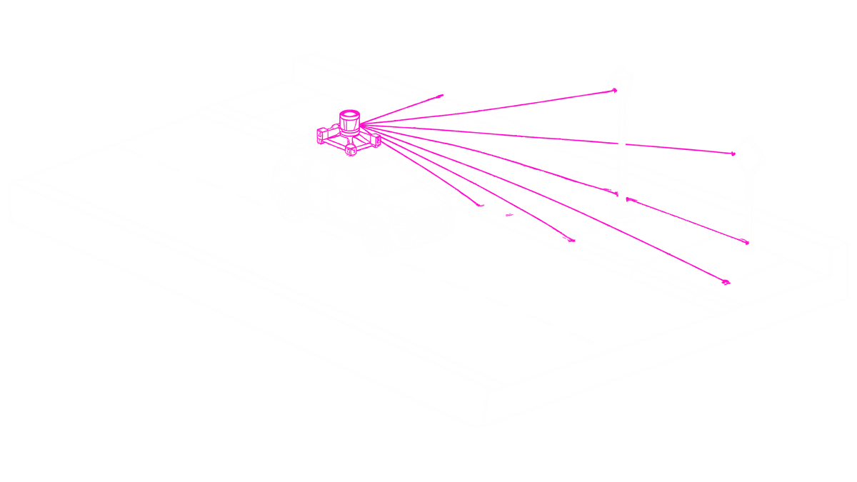
Mobile mapping data
A mobile mapping system scans from the road, so the points are densest right where the road features are. That's why it's common for road corridor work.
It does best on vertical faces like curbs, signs, poles and walls, because street-level scanning sees them from the side. Most systems also capture street-level photos, often panoramic, which give the AI and the technician a clear look along the road.
The limits come from the same viewpoint. Density drops with distance from the vehicle, and the scanner only sees what's in line of sight from the road. The back of a lot, the far side of a sound wall, a rooftop, a drainage swale behind the fence line, a parking lot you can't drive through: none of it is in the cloud, or it's there at a density too low to draft from. And you need a drivable route.
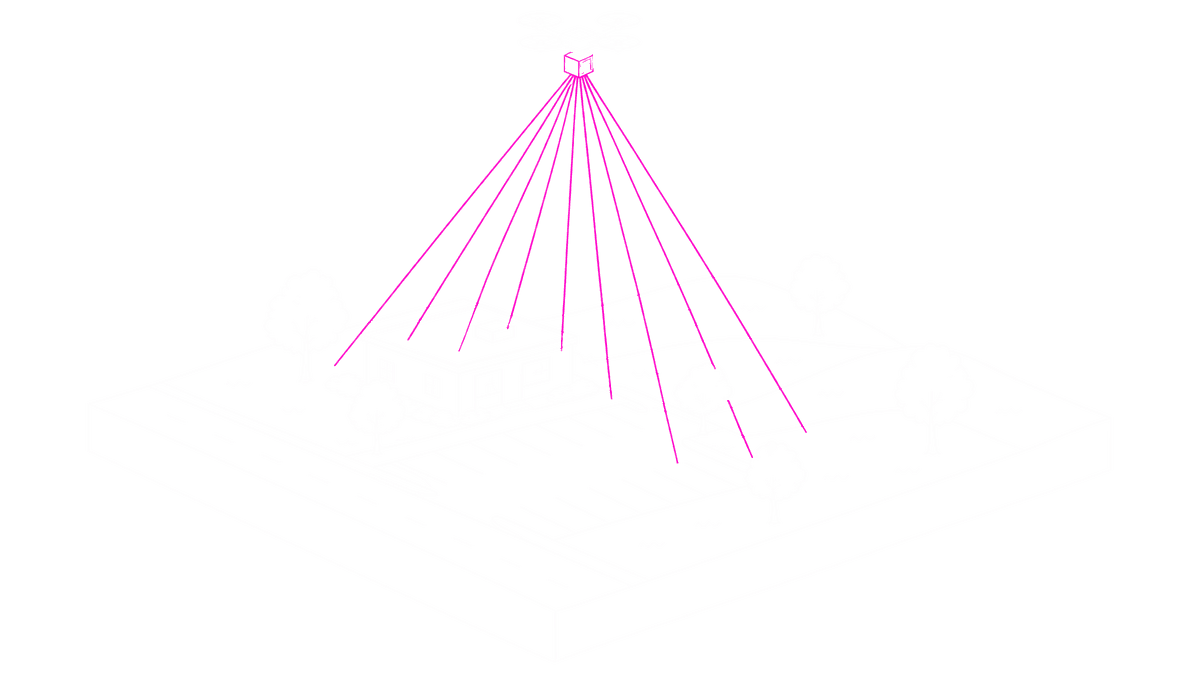
Drone LiDAR data
Drone LiDAR looks down. It covers a whole site from above, and it doesn't need a road. Density is more even across the site and is set by your flight plan: altitude, speed and overlap. Drone projects usually come with an orthophoto too. It's the right capture for a large site, a plant, a subdivision, or a corridor in terrain where you can't get a vehicle.
The limits come from the top-down view. A curb face is a few inches tall and mostly invisible from above, so how well curbs come through depends on how low and slow you flew. Signs and poles get far fewer points from the air than from the road. Tree canopy is the other big one. LiDAR gets some ground points through gaps in the leaves, but they're sparse, and under dense canopy the orthophoto shows treetops instead of pavement.
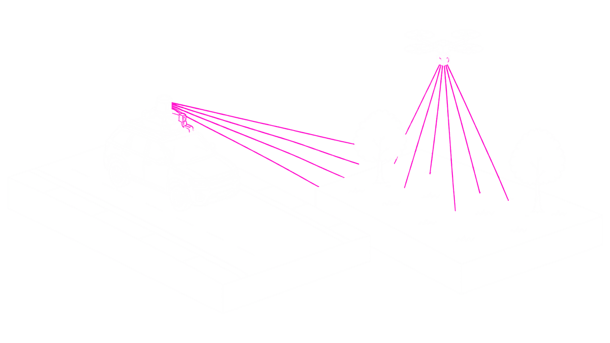
Capture at a glance
| Mobile mapping | Drone LiDAR | |
|---|---|---|
| Viewpoint | Street level, looking at the road and out to the sides | Top-down, looking at roofs and ground |
| Typical density on pavement | Very high near the vehicle, drops with distance from the road | More even across the site, set by altitude, speed and overlap |
| Strongest for | Curbs, striping, signs, poles, manholes, anything with a vertical face | Terrain, sites, parking lots, footprints, areas you cannot drive |
| Weakest for | Anything behind a fence, a building, or beyond the sight line | Curb faces, signs and poles, pavement under dense canopy |
| Imagery | Street-level photos, often panoramic | Orthophoto |
| Access | Needs a drivable route | Needs airspace and line of sight, not a road |
Plan the capture for extraction
Before you choose and plan the capture, write down the deliverable and check these:
- Which features matter most? Mark each one as along the road (curb, striping, sign, pole, wall) or across the site (terrain, footprint, lot, vegetation edge). Road features favor mobile. Site-wide features favor drone.
- Will the surface model be built from this linework? If so, the terrain coverage has to be complete.
Planning a mobile mapping capture
- Can a vehicle reach every part of the site at survey speed? If not, that part needs to be flown.
- Will you have street-level photos? They give the AI and the technician more to work with.
Planning a drone LiDAR capture
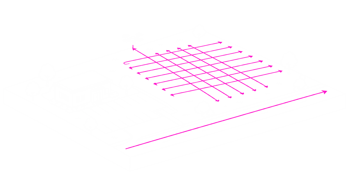
- Is the flight plan dense enough? Our engineering team recommends at least 400 points per square meter for drone and aerial data. In our drone projects, separate curb lines show up from roughly 650 points per square meter, flown in a cross-grid.
- Is there canopy over the pavement edges you need? From the air those edges will be patchy, so drive that stretch if you can, or plan for more drafting there.
- Will you have an orthophoto? It gives the AI and the technician more to work with.
Road features and a drivable route: mobile. Site-wide features or no road: drone. Both: fly and drive, and bring both into one project.
Some projects need both
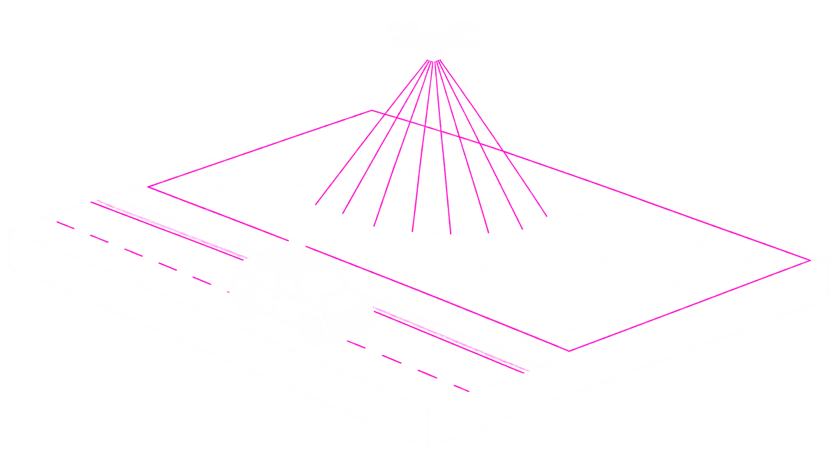
Several firms we work with run both drone and mobile crews, and we have seen a customer fly and drive the same project.
It's easier when both datasets land in the same place. When the drone cloud is processed in one tool and the mobile cloud in another, someone reconciles two sets of linework in CAD. When both are in one environment, you open them side by side in one project view, draft against whichever cloud shows the feature best, and export both with the same attribute template, so the linework from each lands on the same CAD layers.
FAQ
Which is better for AI-assisted extraction, mobile mapping or drone LiDAR? It depends on the features and the site. Mobile mapping is better for road corridors and street-side features, because it is densest where those features are and sees vertical faces from the side. Drone LiDAR is better for sites, terrain and areas you cannot drive. Some projects need both.
How dense does drone LiDAR need to be for AI-assisted extraction? Our engineering team recommends at least 400 points per square meter for drone and aerial data. Small grade breaks like curbs need more: in the drone projects we have run, separate curb lines show up from roughly 650 points per square meter, flown in a cross-grid. On sparser or high-altitude flights, expect more drafting by the technician.
Is mobile mapping more accurate than drone LiDAR? Both can be survey-grade with proper control. Mobile mapping is denser on road features because the sensor is close to them, and some DOT specs hold it to a tighter tolerance on pavement than airborne LiDAR. Drone LiDAR covers a whole site more evenly. With either one, ground control and your positioning workflow drive the final accuracy.
When should I use both mobile mapping and drone LiDAR? When a project needs both corridor detail (curbs, signs, striping) and site-wide terrain or areas a vehicle cannot reach. Bring both datasets into one project view and export them with the same template, so the linework from each lands on the same CAD layers.
Is drone LiDAR better than photogrammetry for surveying? LiDAR measures geometry directly and gets ground points through gaps in vegetation, which makes it the better choice for terrain under canopy. Photogrammetry produces better imagery and works well for open sites and visual deliverables.
See both on one platform
Bring a mobile dataset and a drone dataset from the same project and see them side by side in one project view. Book a demo at mach9.ai/get-started.
Turn weeks of drafting into hours

Mach9 shaves weeks and weeks off extraction on our civil corridor projects. We can fly through vertices and line work in 3D — half our data is already done before we start verifying.”
A recurring theme in the civil engineering industry is how difficult it is to find trained technicians. Mach9 enables us to do 50% more work with the same experienced team. That's extremely important for us.”
Mach9 changed how our team works. The time we used to spend on manual feature extraction, we now spend on parts that require expert judgment, like resolving edge-case geometry.”
With Mach9, we now have a state-of-the-art feature extraction workflow. Instead of spending hours tracing objects in a point cloud, we directly review Mach9's AI-generated assets.”
One of the best things about Mach9 is that you get immediate value without any learning curve. The feature extraction is super accurate, and you go from point mapping to a design-grade deliverable seamlessly.”
The ability to perform full QA in a single interface, without jumping between systems, has transformed how we approach statewide inventories. Mach9 brought consistency and confidence to our data workflows.”
Director of Reality Capture, Feldman GeospatialRob Ashley
HDLS Technology Director, PennoniEddie Fossler
VP & Quality Management Leader, OlssonKaty Sprenger
GIS Specialist, TruenetDiana Wohlfarth
PennoniJeff Tornatore
Project Manager, Michael Baker International
Step 1 of 3