
Mach9 takes flight
By Alex Baikovitz and Max Leung
By Alex Baikovitz, Co-Founder and CEO, Mach9
Today, we’re expanding Mach9’s AI CAD platform to support aerial LiDAR and photogrammetry data collected by drones, helicopters, and planes.
When we founded Mach9, we started with vehicle-based mobile mapping. We saw the power of LiDAR and photogrammetry software to create infrastructure-scale 3D models. In the process, we experienced the challenges of feature extraction firsthand, seeing how difficult it was for surveyors and geospatial professionals to turn these scans into usable models and useful information.
But mobile mapping has typically been limited to roads, highways, and other places vehicles can reach. Many engineering projects extend well beyond those corridors: transmission lines that can’t be seen from the road, large development sites, mines, and areas made inaccessible by natural disasters.
Bringing what we’ve learned in mobile mapping to aerial projects is a major step toward our vision of building AI CAD software for civil engineering. We need to go where the projects are, and not all of them are on roads.

Whether teams are producing accurate 3D linework and assets, classified point clouds, or terrain models, Mach9 brings the workflows needed to go from scan to finished deliverables into one platform. We’re proud to support firms that have pioneered aerial LiDAR and photogrammetry while making these workflows more accessible to organizations that have struggled with the time and expertise required to turn captured data into usable deliverables.
Here’s what we’re making available to survey and civil engineering teams.
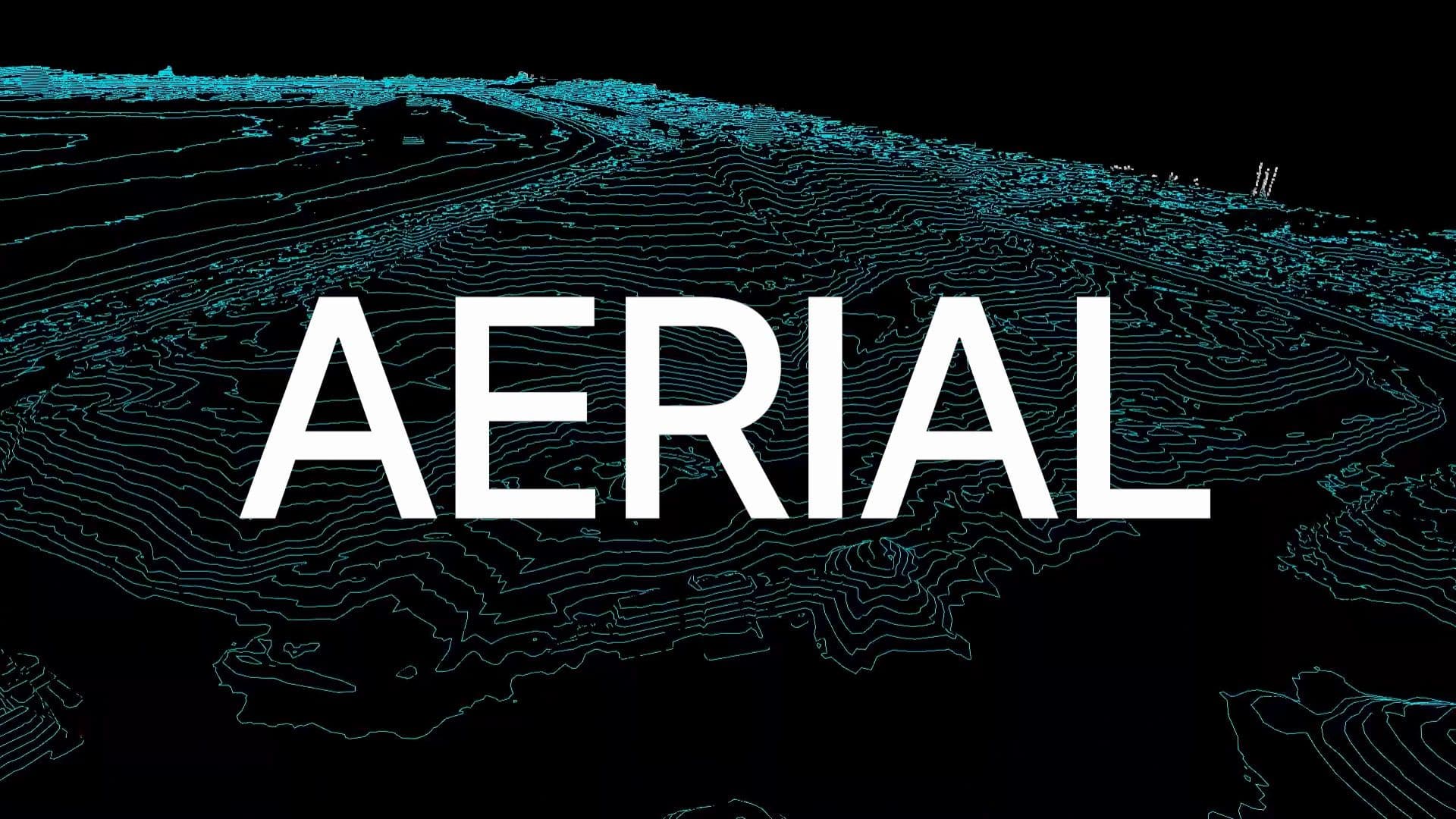
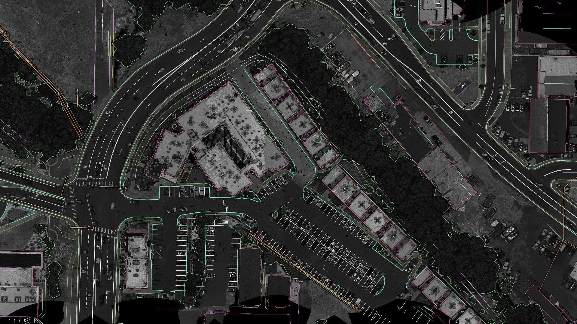
Automatically draft 3D points and lines from aerial data
We’re bringing Mach9’s automated feature extraction to aerial LiDAR and photogrammetry datasets. Over the past several quarters, we’ve trained and refined our AI models to rapidly extract 3D points and linework from aerial data. We built this capability for teams delivering complex topographic surveys and basemapping projects, with survey-grade requirements in mind.
Classify and edit point clouds
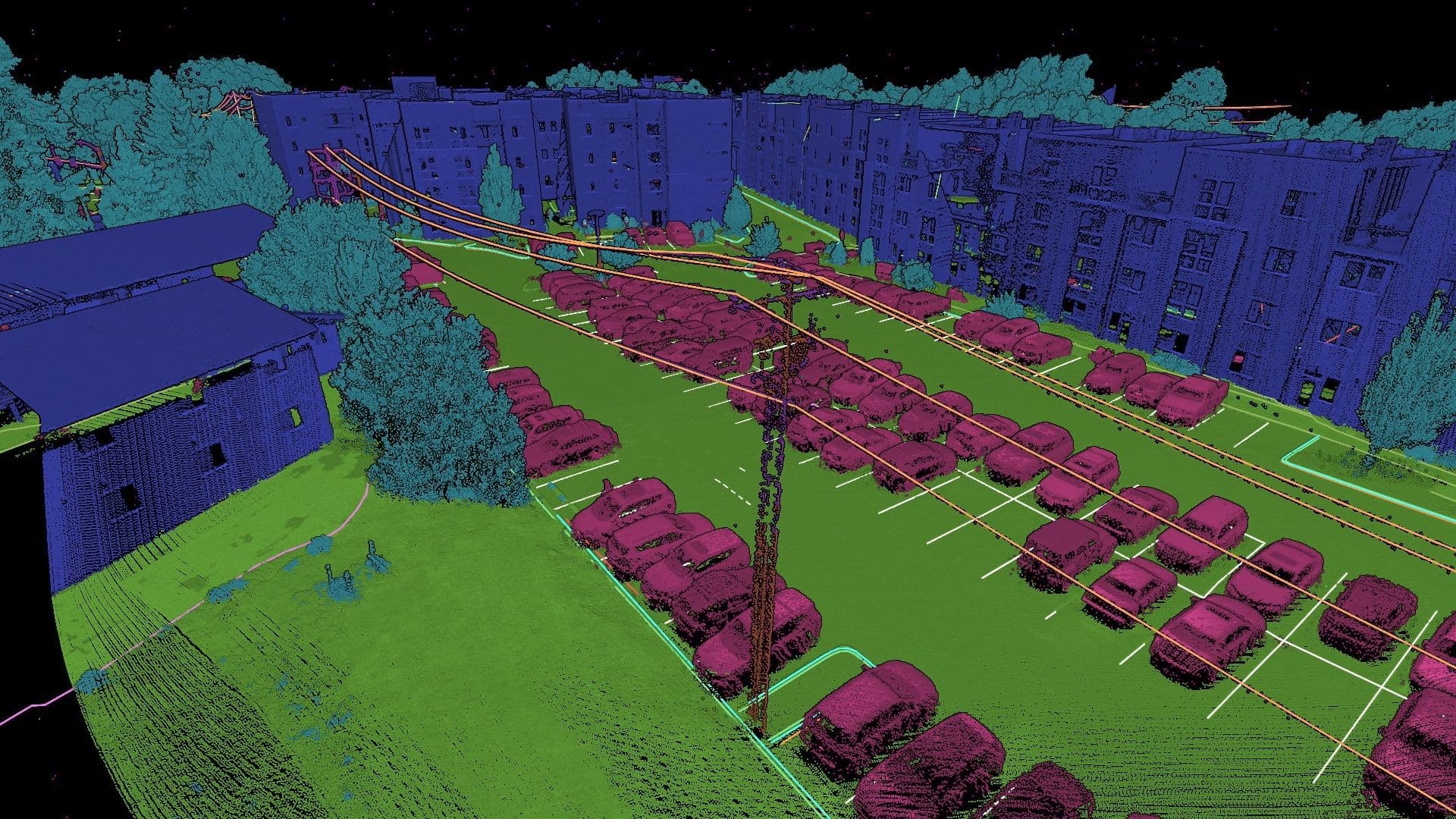
Point cloud classification has historically required specialized software, significant manual effort, and expertise that can be difficult to share across large production teams.
Working with our customers, we’ve combined AI-based classification with tools to edit and refine the results. Geospatial teams can now go from raw data to engineering-ready classified point clouds in a single workflow, supporting utility mapping, wide-area topographic mapping, and other geospatial projects.
Model utility poles and wires
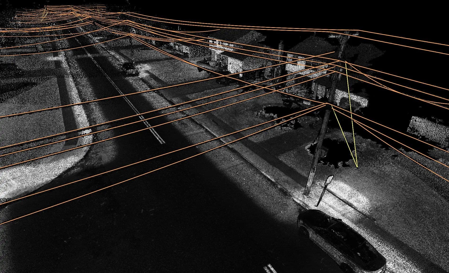
Aerial LiDAR has become a critical tool for electric and telecommunications utilities mapping overhead infrastructure for transmission and distribution design, fiber buildouts, and asset management.
Our latest AI models extract poles and catenary curves of overhead wires, helping teams produce the engineering models needed for clearance analysis and other overhead infrastructure deliverables.
Build ground surfaces and contours
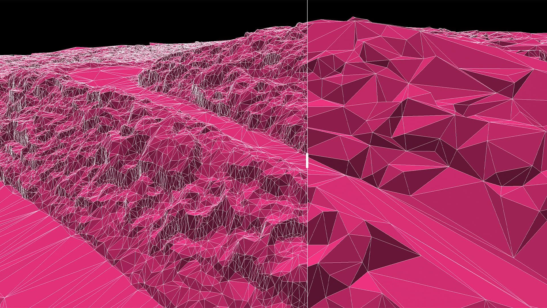
Understanding the terrain is essential to planning and designing new infrastructure, especially on large, undeveloped sites. Turning scan data into a reliable ground surface has traditionally required teams to move between separate software tools for modeling, editing, and quality control.
Mach9 brings those steps together. Teams can build 3D ground surfaces and contours, refine the results, and check their work in the same platform. These tools are helping surveyors move from captured data to terrain deliverables faster.
What this means for survey and engineering teams
By Max Leung, Head of Solutions Engineering, Mach9
When I practiced as a civil engineer, I knew one thing about survey deliverables: we were always waiting on them. What I didn’t appreciate was how much work it took to turn collected data into topographic drawings. It wasn’t until I spent time in the field that I realized how quickly crews could collect the data, while project timelines were consumed by the extraction steps and validation that followed.
Collection methods like drones make that gap even more evident. Over the last 12 months, I’ve visited firms across a couple dozen states and four continents, and I consistently hear that collection is no longer the difficult part. A drone pilot can wrap up a flight before breakfast, but the work still piles up at the office.
At Welch Comer, an employee-owned engineering firm outside Spokane, Washington, Thomas Tucker flies the drone, processes the data, and drafts the final deliverable himself. Before Mach9, he would move between multiple software packages, each with its own strengths, but none that could finish the job. Today, he uses Mach9 to streamline that workflow from end to end, saving four to five hours per average project.
I also visited a national geospatial firm focused on utility projects. The team needed to extract roadways, building edges, vegetation, poles, wires and other features across a 2,000-acre site this month. They faced the same bottleneck. With Mach9, they’re able to tackle similar projects, as well as larger and more complex ones, opening up additional project opportunities.
Our customers choose the collection method best suited to each job. Ground-based methods provide the fidelity and density needed for detailed features, while aerial methods offer a broader perspective and field of view. The goal of this aerial release is to bring Mach9’s capabilities to a wider range of users and use cases.
What becomes possible next
A construction project might be scanned pre-construction, but often times, that’s it. However, drones enable a much broader use case. Let’s take post-construction as an example. Imagine if you can do change detection between pre and post construction. Fly the site over before and after completion, and compare the difference. You will notice how much dirt was moved and where the as-built drifts from what was designed. Instead of having inspectors spot the differences, you now have a clear map of where to look. Infrastructure owners, contractors and consultants have told us how much near real-time verification means for reducing timelines and unexpected costs.
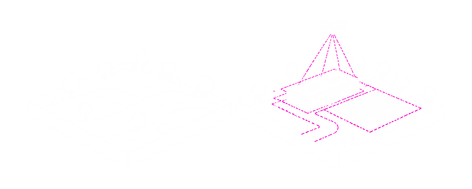
Data centers, solar farms, bridges, fiber networks and more are being built and rebuilt at a rapid pace. Infrastructure owners have told us they want near-real-time as-builts, rather than redlined PDFs assembled from field checks and memory at the end of a project. In a world where extracting features becomes as straightforward as flying a drone and processing it with AI CAD software, the as-built becomes the starting point for understanding an asset throughout its life. It provides a baseline against which every inspection or maintenance check can be compared. That’s the opportunity ahead as we make it easier to turn data collected from the sky into useful engineering information.
Deliver your next aerial project with Mach9
Take on larger projects, keep more work in-house, and turn aerial data into finished survey deliverables faster.
Book a demo to see how Mach9 can support your next project. We’d love to hear what you’re working on.
Turn weeks of drafting into hours

Mach9 shaves weeks and weeks off extraction on our civil corridor projects. We can fly through vertices and line work in 3D — half our data is already done before we start verifying.”
A recurring theme in the civil engineering industry is how difficult it is to find trained technicians. Mach9 enables us to do 50% more work with the same experienced team. That's extremely important for us.”
Mach9 changed how our team works. The time we used to spend on manual feature extraction, we now spend on parts that require expert judgment, like resolving edge-case geometry.”
With Mach9, we now have a state-of-the-art feature extraction workflow. Instead of spending hours tracing objects in a point cloud, we directly review Mach9's AI-generated assets.”
One of the best things about Mach9 is that you get immediate value without any learning curve. The feature extraction is super accurate, and you go from point mapping to a design-grade deliverable seamlessly.”
The ability to perform full QA in a single interface, without jumping between systems, has transformed how we approach statewide inventories. Mach9 brought consistency and confidence to our data workflows.”
Director of Reality Capture, Feldman GeospatialRob Ashley
HDLS Technology Director, PennoniEddie Fossler
VP & Quality Management Leader, OlssonKaty Sprenger
GIS Specialist, TruenetDiana Wohlfarth
PennoniJeff Tornatore
Project Manager, Michael Baker International
Step 1 of 3