GPD Group drafts precise corridor linework 70% faster with Mach9.
Discover how this full-service engineering and design firm partnered with Mach9 to scale precise feature extraction while streamlining cross-team collaboration across all projects.

With Mach9, we don't need to spend hours loading data or drawing lines one by one. We can jump right into a ready draft and work on the parts that require our expertise.

Large Point Clouds and Manual Drafting Delayed Project Progress
We started using scan data for more and more projects, but our existing tools couldn't keep up with the volume or the manual drafting that followed. We needed a faster way to turn scans into CAD as our workload grew. That's what we found in Mach9.
As GPD Group expanded its survey work across public, utility, and other infrastructure projects, the team adopted LiDAR technology to make field data collection faster and more complete. That shift, however, put new demands on the tools and processes that technicians relied on to create design-grade CAD deliverables.
Before drafting could begin, technicians had to wait for their extraction software to process the scan data. Even with virtual machines, this step took hours for typical datasets, which hovered around 100-150 GB on average. Once the data was ready, technicians had to carefully draft linework and point assets, assigning X, Y, and Z values to define each feature's elevation. Because the software had limited viewing capabilities, this process became more demanding for sites with complex geometry, including buildings, parking lots, sidewalks, and loading ramps.
"Drafting lines for a two-mile roadway corridor with dense urban and rural terrain would take two people and four weeks of full-time work," shares Dylan Kachline, Land Survey Technician at GPD Group.
With GPD Group targeting precision within 0.02 feet, each technician spent significant time checking their finished linework against the scan. Any deviations would require costly field revisits and rework during construction, delaying deliverables for downstream engineering teams and clients.
Increasing project headcount only compounded these challenges for GPD Group. The team's extraction software supported only one person working on a file, forcing technicians to split work across separate files and reconcile them later. Constant coordination throughout this process added overhead and increased the risk of duplicated or missed work.
Faced with these constraints, the GPD team tried to speed up data processing by investing in more powerful hardware, but even then, manual extraction bottlenecked scan-to-CAD workflows. With a growing pipeline of client work, they began searching for a solution that could help them accelerate data extraction, validation, and project turnaround without compromising the accuracy of their deliverables.
Fortunately, they soon discovered Mach9. After a live demo of the platform, the GPD team was convinced that they'd found the right partner to scale scan-to-CAD output and keep pace with project growth.
Accurate, Accelerated Feature Extraction That Compresses Project Cycles
Mach9 provided the GPD team with live access to its platform, guiding them through its capabilities as they tested its extraction accuracy against GPD's standards. "We checked the quality of the linework and how the data exported into our AutoCAD workflow," shares Dylan. "Everything checked out, so we took it live."
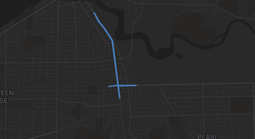
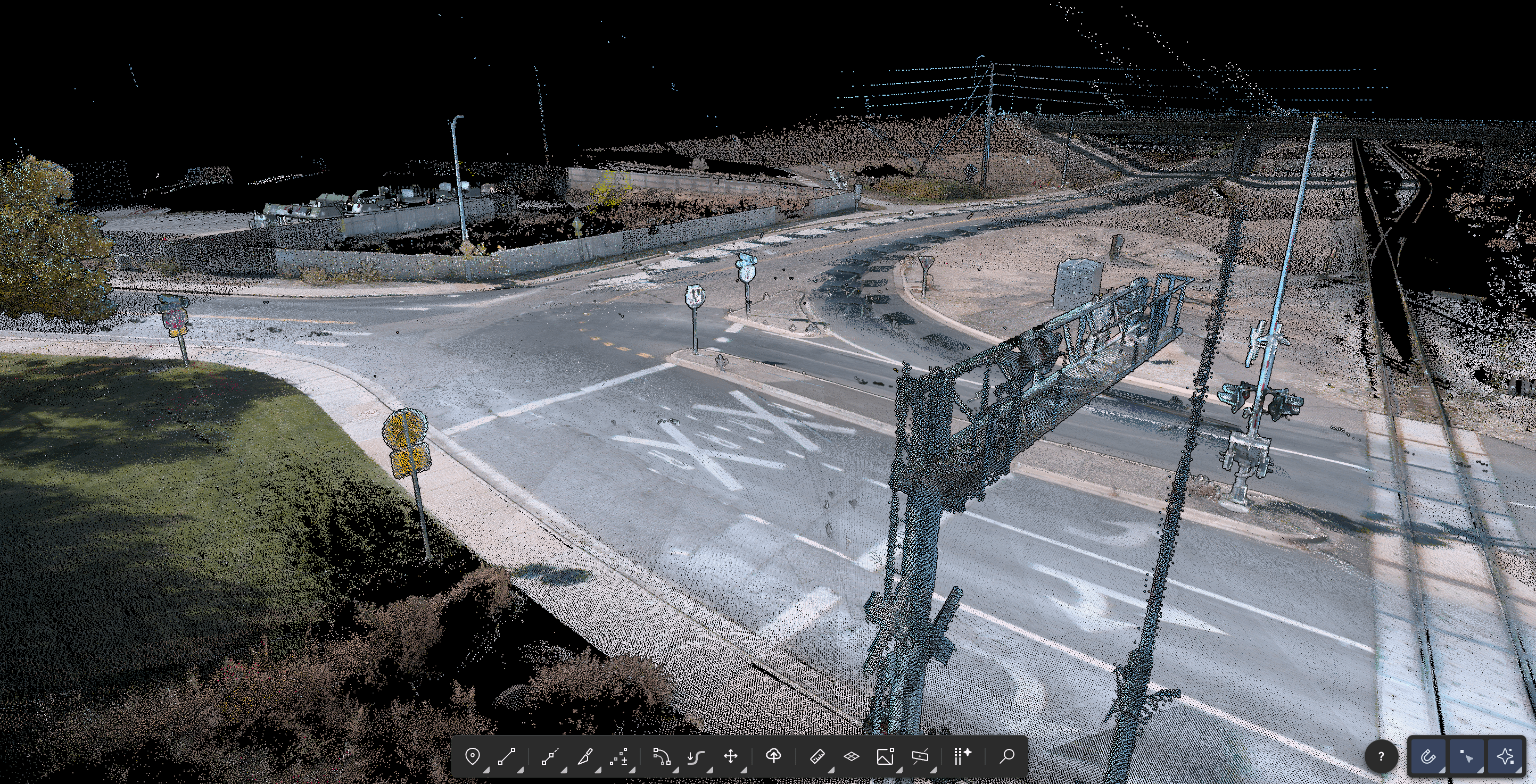
For their first live project, the GPD team used Mach9 on a two-mile Cuyahoga County corridor with dense building footprints, complex intersections, and ramps. Thanks to the tool's cloud-based architecture, they opened the dataset directly in their browser, bypassing hours of load time. From there, Mach9 automatically extracted the corridor's features, creating a first-pass draft that the team could review in a shared workspace.
Compared to GPD's initial feature extraction software, Mach9 enables technicians to rotate the model and inspect complex geometry from any angle. Every feature is fully editable, so they can adjust extracted linework and assets directly against the point cloud.
Mach9 enables our team to work together on the same file without worrying about reconciliation. It's completely changed how we approach surveying work.
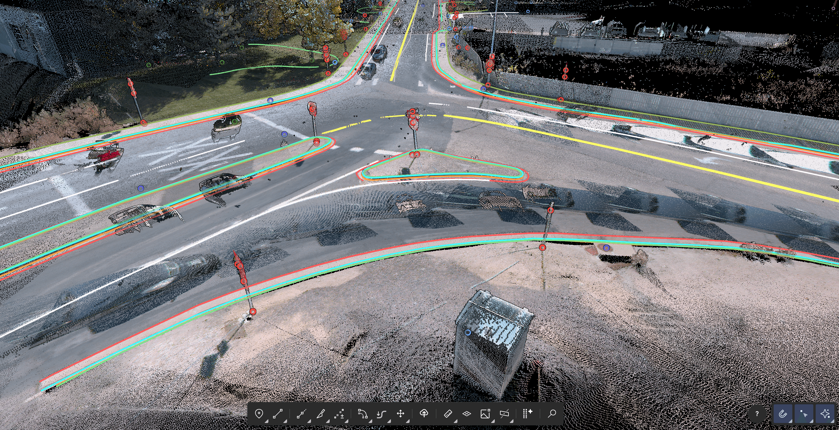
"We see exactly what the other person is refining, so there's no overlap or difficult reconciliation," shares Dylan. Now, technicians spend their time interpreting complex features while minimizing the risk of costly errors down the line.
Using Mach9's DXF import capabilities, technicians overlay GPS and total-station data onto the point cloud. That proved particularly valuable on a series of time-sensitive postal facility projects for a federal client. Crews supplemented each site scan with targeted measurements, which the GPD team imported into Mach9 to guide extraction and avoid redrafting features already captured.
With this workflow, GPD's technicians move from raw point cloud data to design-grade drafts in a fraction of the time. This efficiency has roughly doubled the team's capacity, enabling them to meet client demand and take on more projects with intricate built environments.
GPD Group Increases Scan-to-CAD Output for High-Demand Corridor and Municipal Projects
By partnering with Mach9, GPD Group transformed its scan-to-CAD workflow into a faster, more collaborative operation. Large-scale corridor surveys and municipal projects are now completed with greater speed and minimal overhead, paving the way for sustained company growth.
- 0170% faster scan-to-CAD delivery
- 022x increase in team capacity
- 0350% faster ramp-up on scan-to-CAD workflows
Looking ahead, GPD Group plans to continue expanding its use of Mach9 as its scan-based survey work grows. The team is already exploring opportunities to use the tool for complex electrical substations and larger off-road areas.
Our team is unanimous that Mach9 is the way we want to work going forward. With it, we move more projects forward faster without sacrificing our accuracy standards.
Mach9 works with the data you already collect.






GPD Group is a full-service architecture, engineering, design, and consulting firm. Serving public and private clients, they carry roadway, utility, and site development projects from feasibility through construction under one integrated team. The firm brings 65+ years of experience and a track record recognized by partners and industry bodies, including Chick-fil-A's Development Partner of the Year and Project Manager of the Year honors, as well as a spot among VMSD's Top 10 Retail Design Firms.

Mach9 accelerates how teams model and understand the world with automated feature extraction technology. Founded in 2021 and headquartered in San Francisco, Mach9 helps transportation agencies, utility companies, and engineering firms extract miles of road corridor projects in a fraction of traditional processing time. Built on decades of research from Carnegie Mellon University's Robotics Institute, Mach9 empowers the architecture, engineering, and construction industries to tackle large-scale infrastructure projects with unprecedented speed and accuracy.
More case studies
See all →
Turning Roadway Assets into Actionable Data for State DOT

Accelerating Rural Broadband Expansion Through Automation and Visibility

Data Collection First, Decisions Later: A Smarter Way to Design Broadband
Turn weeks of drafting into hours

Mach9 shaves weeks and weeks off extraction on our civil corridor projects. We can fly through vertices and line work in 3D — half our data is already done before we start verifying.”
A recurring theme in the civil engineering industry is how difficult it is to find trained technicians. Mach9 enables us to do 50% more work with the same experienced team. That's extremely important for us.”
Mach9 changed how our team works. The time we used to spend on manual feature extraction, we now spend on parts that require expert judgment, like resolving edge-case geometry.”
With Mach9, we now have a state-of-the-art feature extraction workflow. Instead of spending hours tracing objects in a point cloud, we directly review Mach9's AI-generated assets.”
One of the best things about Mach9 is that you get immediate value without any learning curve. The feature extraction is super accurate, and you go from point mapping to a design-grade deliverable seamlessly.”
The ability to perform full QA in a single interface, without jumping between systems, has transformed how we approach statewide inventories. Mach9 brought consistency and confidence to our data workflows.”
Director of Reality Capture, Feldman GeospatialRob Ashley
HDLS Technology Director, PennoniEddie Fossler
VP & Quality Management Leader, OlssonKaty Sprenger
GIS Specialist, TruenetDiana Wohlfarth
PennoniJeff Tornatore
Project Manager, Michael Baker International
Step 1 of 3