
Mach9 Raises $34M to Bring Civil Engineering into the AI Era
By Alex Baikovitz · Co-founder and CEO
Most of America's infrastructure was built in a single generation seventy years ago. It was designed to last only fifty.
All across the United States, roads, utility poles, and power lines are hitting the end of their lives. In response, the infrastructure bill allocated $1.2 trillion into rebuilds and repairs.
But before you can change the physical world, you have to know exactly what's already there. A survey — a CAD blueprint of the site as it exists — lets engineers plan what comes next. Making the survey is one of the first bottlenecks in almost every infrastructure project.
The expertise to do that work is already in short supply: NCEES reports that resident surveying licenses fell 24% from 2011 to 2025. Bryan Merritt, VP of Geospatial at KEITH told us directly: "our industry is staff poor. We can’t find staff." Firms can’t simply add more people when the industry already has too few skilled workers.
We built Mach9 to break that bottleneck. Our AI CAD software turns 3D scans of roads, utilities and construction sites into draft drawings for surveyors and engineers. Work that used to take months can happen in days, giving infrastructure teams the capacity to deliver at the pace the world needs.
The physical world is now fast to capture, but still slow to understand
Zach, Haowen, Michael and I met at Carnegie Mellon’s Robotics Institute. Across our founding team, we worked on systems that perceive the physical world at Tesla, SpaceX, Apple, NASA and Google X.
We started Mach9 building hardware — sensors that could scan the physical world to create detailed 3D datasets. But customers taught us that collecting more data wasn’t the problem; instead, they were drowning in data they couldn’t turn into engineering drawings fast enough. So two years ago, we went all-in on what they actually needed: AI CAD software for civil engineering, starting with surveying.
A mapping vehicle can scan miles of road in a day. But there’s a big gap between a scan and an engineering drawing. Technicians still have to identify and draw every curb, sign, pole, lane marking, barrier and wire in the project area — by hand, one line at a time. The work is exacting, and it can take months.
From laser scan to a first draft in hours
Mach9 automatically drafts features from raw 3D scans of the physical world with centimeter-level accuracy at infrastructure scale. Customers upload data collected with equipment they already use, and Mach9 produces a first draft their teams review, refine and finalize in our editing tools — allowing customers to deliver surveys up to 10x faster and at a fifth of the cost.
This allows civil engineering firms like Pennoni to take on work they otherwise wouldn’t be able to: “Mach9 enables us to do 50% more work with the same experienced team,” said Rob Ashley, Pennoni’s HDLS technology director.
Teaching machines to understand the real world is hard. Curbs look different from one place to the next, wires run through dense trees and bushes, and paint markings get faded and scratched. We built our machine learning models from the ground up specifically for these challenges, so Mach9 can accurately draft features even in the most challenging environments.
From rumble strips to rural broadband
On a stretch of Interstate 8 in San Diego, Caltrans is using Mach9 to build a current inventory of rumble strips and other road safety features.
That matters because rumble strips save lives. FHWA reports that shoulder strips reduced fatal and injury run-off-road crashes on rural two-lane roads by 36%, while centerline strips reduced fatal and injury head-on and opposite-direction sideswipe crashes by 44%.
Before Caltrans can decide where more rumble strips are needed, its engineers have to know where the existing ones are. Keeping that inventory current by hand is a challenge across a state highway system spanning more than 15,000 miles. Mach9 helps Caltrans create the inventory its engineers need to identify gaps and plan improvements.
In Rocksprings, Texas, our customer Fibersmith needed to survey more than a thousand miles of planned fiber route to meet a construction deadline. “I really don’t know that we could have done it if we weren’t using mobile LiDAR and Mach9,” said Nicholas Peña, Fibersmith’s vice president. Fibersmith now uses Mach9 across its business, from helping connect 125,000 homes and businesses in underserved Louisiana communities to building a fiber network spanning more than 400 miles in Carroll County, Maryland. These projects help close the gap in high-speed internet access between rural communities and larger cities.
100,000 miles down. Millions more to go.
We’ve quickly grown to nearly 100 customers — from some of the largest civil engineering firms, including WSP, HNTB and NV5, to state transportation agencies including Caltrans, Minnesota DOT and the Maryland State Highway Administration.
Engineering teams have used Mach9 on more than 2,500 projects across all 50 states, surveying over 100,000 miles of infrastructure corridors, enough to cross the continental United States 35 times. It’s still a sliver of America’s 4.2 million public-road miles, before counting utility, rail and other infrastructure networks.
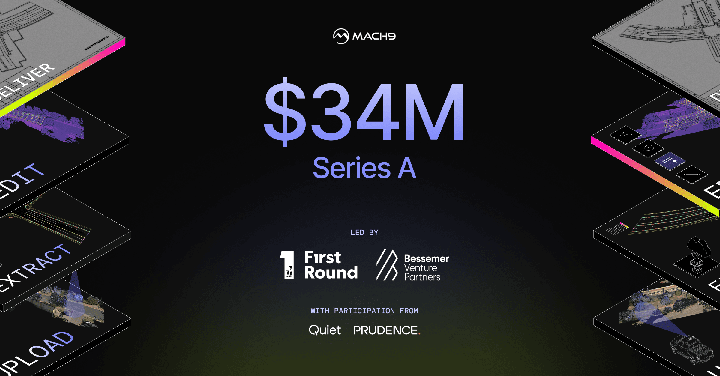
Today, we’re announcing a $34 million Series A to bring civil engineering into the AI era. The round is co-led by First Round Capital and Bessemer Venture Partners, with participation from Prudence and continued participation from Quiet Capital, who led our seed round. This brings our total funding to $49 million. We’re using this capital to extend our lead in AI CAD for civil engineering, expanding the world’s capacity to build and maintain the infrastructure people depend on.
If that sounds like a problem worth working on, we’re hiring engineers and go-to-market builders in San Francisco — see our open roles. And if your team needs to turn reality capture into engineering-ready deliverables, we’d love to help.
-Alex Baikovitz, Co-founder and CEO
Turn weeks of drafting into hours

Mach9 shaves weeks and weeks off extraction on our civil corridor projects. We can fly through vertices and line work in 3D — half our data is already done before we start verifying.”
A recurring theme in the civil engineering industry is how difficult it is to find trained technicians. Mach9 enables us to do 50% more work with the same experienced team. That's extremely important for us.”
Mach9 changed how our team works. The time we used to spend on manual feature extraction, we now spend on parts that require expert judgment, like resolving edge-case geometry.”
With Mach9, we now have a state-of-the-art feature extraction workflow. Instead of spending hours tracing objects in a point cloud, we directly review Mach9's AI-generated assets.”
One of the best things about Mach9 is that you get immediate value without any learning curve. The feature extraction is super accurate, and you go from point mapping to a design-grade deliverable seamlessly.”
The ability to perform full QA in a single interface, without jumping between systems, has transformed how we approach statewide inventories. Mach9 brought consistency and confidence to our data workflows.”
Director of Reality Capture, Feldman GeospatialRob Ashley
HDLS Technology Director, PennoniEddie Fossler
VP & Quality Management Leader, OlssonKaty Sprenger
GIS Specialist, TruenetDiana Wohlfarth
PennoniJeff Tornatore
Project Manager, Michael Baker International
Step 1 of 3