
Langan cuts delivery time by 40% on multi-thousand-acre drone surveys
Topographic surveying for large-scale solar and datacenter projects

On several multi-thousand-acre projects in Texas, Mach9 cut our delivery time by roughly 40%, saving us weeks. We wouldn’t have met those deadlines without it.

About Langan
Langan provides integrated engineering and environmental consulting services for land development, corporate real estate, and energy projects around the world. Its clients include developers, property owners, public agencies, corporations, institutions, and energy companies.
Langan’s surveying team tackles complex, high-profile projects, from NASA’s Artemis crawler-transporter to the Formula 1 Miami Grand Prix.
Ranked among the top 50 firms on ENR’s 2026 Top 500 Design Firms list, Langan employs more than 2,300 people across 59 offices, with project experience in over 100 countries.
Russ Hall, PLS, is a Senior Survey Project Manager at Langan, where he leads the firm’s reality capture practice. With over 24 years of land surveying experience, Russ specializes in geospatial technologies including mobile LiDAR, UAVs, and indoor mapping. His team transforms complex point clouds into survey-grade deliverables for civil engineering projects around the world, and he has spent years integrating AI into workflows for high-precision surveying.
Russ serves on the Board of Directors for the ASPRS Florida Region and mentors emerging professionals through the NSPS Young Surveyors Network. His professional affiliations include ASPRS, FSMS, and NSPS.
What made this hard.
Before Mach9, we wouldn’t touch a 3,000-acre project because we couldn’t compete on price with stereo mapping. Now we can deliver the quality Langan is known for at a competitive price, on much larger projects.
Langan partners with infrastructure owners to survey and design solar fields, warehouses, and data centers. These large infrastructure projects are demanding, requiring detailed surveys spanning thousands of acres on tight schedules.
Historically, surveying work for large-scale land development projects was handled by aerial mapping firms using fixed-wing imagery and stereo mapping to model the terrain, an approach that was highly competitive on cost and turnaround time. Langan’s survey group has used mobile, terrestrial, and drone LiDAR for decades to tackle complex projects and is known for producing exceptionally high-quality deliverables. However, achieving that same quality through manual drafting on such large sites would have been prohibitively time-consuming and expensive. As a result, much of this work was subcontracted to other firms, reducing Langan’s margins and control over delivery.
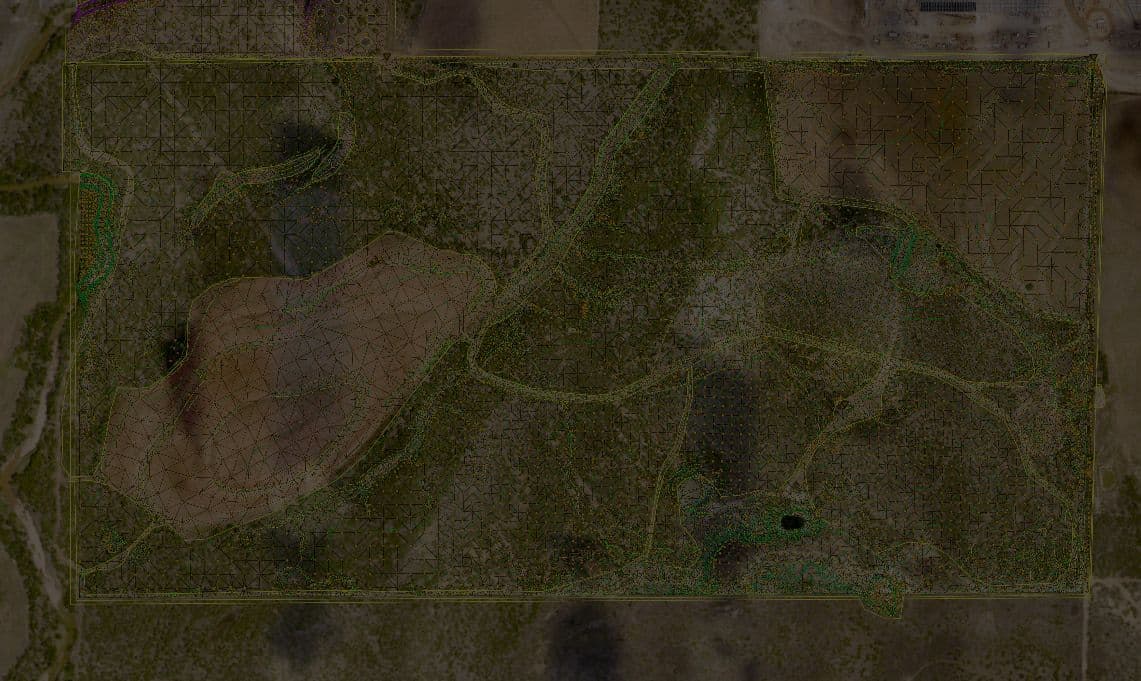
A 3,000-acre project in Texas for a major commercial infrastructure owner required a detailed topographic survey on a tight schedule. The client was developing many similar sites, so the stakes were high, and Russ and his team were ready to take on the challenge.
How we solved it.
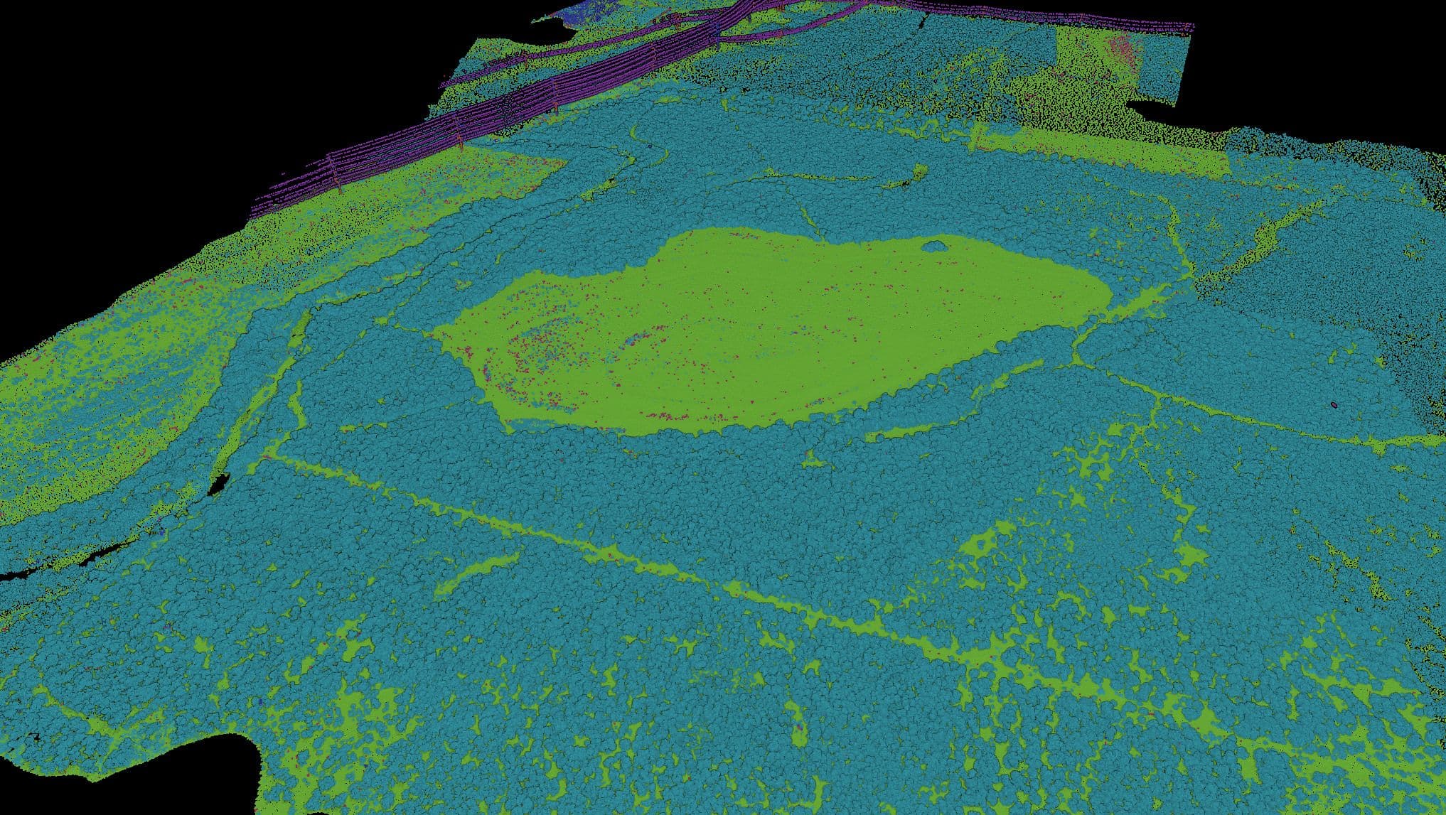
Russ and his team collected drone LiDAR and imagery to produce a 3D point cloud and orthomosaic of the site, then uploaded the data to Mach9. Mach9’s AI extracted infrastructure features, including overhead wires and roadway features, while its point cloud classification distinguished ground, vegetation, and other classes so the team could quickly filter the data.
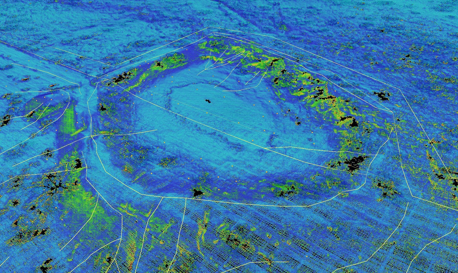
For the undeveloped site, capturing the terrain accurately was critical. The team used Mach9’s CAD tools to digitize tops and toes of slopes and other breaklines. Slope visualization helped them identify changes in the terrain and check breakline placement, while the adaptive point grid and draping tools helped them add detail to the surface.
“What kills us on UAV jobs manually is soft terrain breaklines. The slope view is huge for finding those breaklines. It’s beyond critical,” Russ shared.
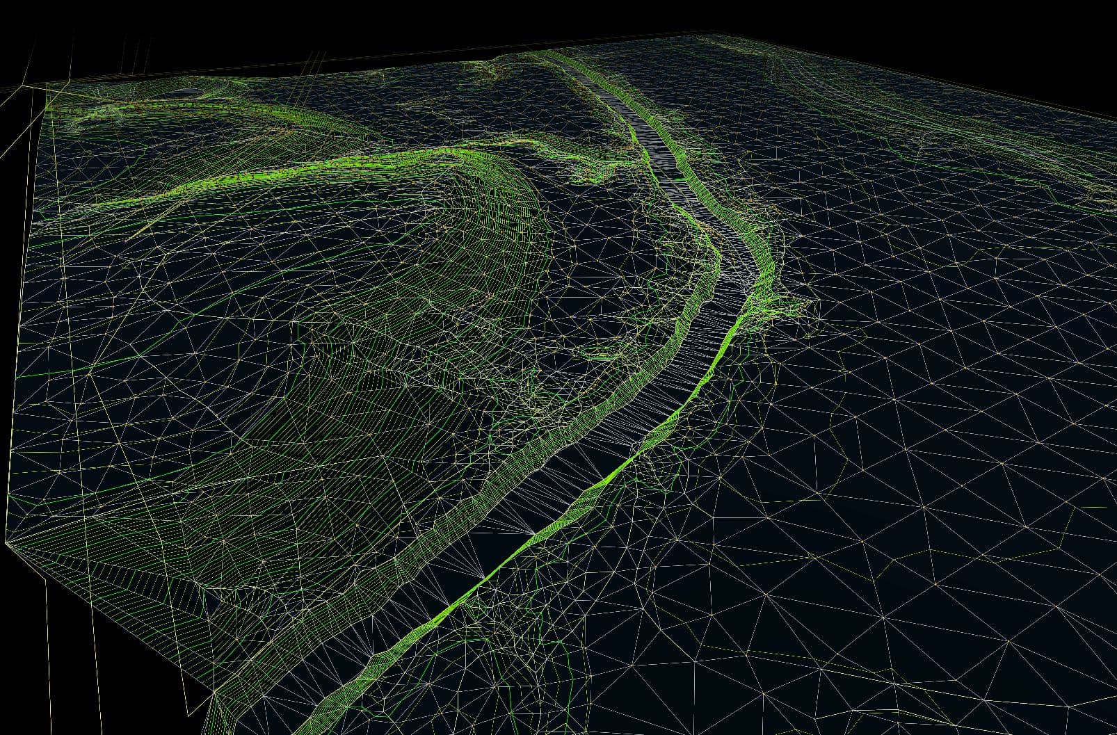
Once the points and breaklines were in place, the team built a triangulated irregular network (TIN) surface directly in Mach9. They used the deviation heatmap to identify where the surface sat above or below the point cloud and needed refinement, then generated contours to the project specifications.
Previously, the team used separate software for extraction and surface generation, moving results between Autodesk Civil 3D and another platform to check their work. Mach9 brought those steps together, allowing the team to build and check the surface alongside the source data before exporting it.
“Now, with your platform, we’re able to build the surface natively, check it against the point cloud and the extraction, and export a LandXML that draws correctly in Civil 3D or OpenRoads.”
After quality checks, the team exported the CAD points, linework, and surface in industry-standard formats, including DXF, DWG, and LandXML. They then prepared the final survey sheets for delivery to the engineers.
Mach9 also made it easier to distribute data across Russ’s geographically dispersed team. Pre-caching let team members load project data faster than manually downloading everything first, helping them get to work sooner.
The outcome.
On several multi-thousand-acre projects in Texas, Mach9 helped Langan reduce delivery time by roughly 40%, saving weeks and meeting demanding production schedules.
Langan achieved those gains while maintaining the quality its clients expect. With Mach9, the team can compete on price and turnaround time for larger surveys that previously would not have been financially feasible. Since the featured project, Langan has taken on more similar projects with this client and others.
Faster workflows have also helped the team take on work it would otherwise have needed to subcontract or turn down. Russ estimates that the share of his team’s work subcontracted fell from roughly 10% in 2025 to 1% in 2026.
Mach9 is proud to partner with Langan to help its survey team meet growing demand and deliver the surveys behind major infrastructure projects.
We’ve been under an unprecedented amount of work. We were subcontracting about 10% of all our work, and now it’s like 1%. We’d have to turn down jobs or sub them out because we just couldn’t do them. Now we can. We’re able to move through them faster.
More case studies
See all →


Turn weeks of drafting into hours

Mach9 shaves weeks and weeks off extraction on our civil corridor projects. We can fly through vertices and line work in 3D — half our data is already done before we start verifying.”
A recurring theme in the civil engineering industry is how difficult it is to find trained technicians. Mach9 enables us to do 50% more work with the same experienced team. That's extremely important for us.”
Mach9 changed how our team works. The time we used to spend on manual feature extraction, we now spend on parts that require expert judgment, like resolving edge-case geometry.”
With Mach9, we now have a state-of-the-art feature extraction workflow. Instead of spending hours tracing objects in a point cloud, we directly review Mach9's AI-generated assets.”
One of the best things about Mach9 is that you get immediate value without any learning curve. The feature extraction is super accurate, and you go from point mapping to a design-grade deliverable seamlessly.”
The ability to perform full QA in a single interface, without jumping between systems, has transformed how we approach statewide inventories. Mach9 brought consistency and confidence to our data workflows.”
Director of Reality Capture, Feldman GeospatialRob Ashley
HDLS Technology Director, PennoniEddie Fossler
VP & Quality Management Leader, OlssonKaty Sprenger
GIS Specialist, TruenetDiana Wohlfarth
PennoniJeff Tornatore
Project Manager, Michael Baker International
Step 1 of 3