
McElhanney cuts drone feature extraction from days to hours with Mach9
Discover how this multidisciplinary engineering firm partnered with Mach9 to automate drone-based power line and roadway mapping, freeing surveyors to focus on higher-value work.

With previous extraction tools, we still spent a considerable amount of time in the office. Now, we can fly a drone, run the data through Mach9, and extract features with very little manual work. That’s orders of magnitude more efficient than traditional methods.

About McElhanney
McElhanney is a multidisciplinary engineering firm that delivers infrastructure projects from planning through construction. Founded in 1910, McElhanney helps cities and communities, energy and resource companies, and transportation and transit agencies across Western Canada plan and build the infrastructure their regions rely on. The firm employs more than 1,500 professionals, maintains 30 locations, and has earned over 175 project and professional awards since 2000.
High-Definition Field Surveys Outpaced Manual Feature Extraction
Field capture is getting easier and easier, but extraction in the office still takes the most time. That’s where Mach9 has been really helpful. They’re the only company we’ve seen come close to automating extraction.
As McElhanney expanded its survey and engineering operations, the firm adopted advanced drone and mobile laser scanning technologies that drastically cut field data collection time. However, those efficiencies created a downstream challenge as traditional extraction workflows couldn’t keep pace with the influx of captured data.
Back in the office, Chris Gilling, Division Manager, and his technicians had to manually interpret and extract site features from dense point clouds. For electrical utility corridors, one of McElhanney’s most common project types, technicians spent days tracing each power line point by point. On extensive highway corridors and industrial sites, tracing these lines alongside buildings, trails, and vegetation often stretched into weeks. This manual bottleneck limited the volume of transportation, utility, and municipal infrastructure projects the firm could take on and deliver.
The lag also increased the risk of friction with clients, who often expected a site plan the day after fieldwork wrapped. At the same time, the team couldn’t relax the rigorous quality control every deliverable requires because final deliverables directly inform civil engineering design. Even one missing feature or error could compromise downstream work and delay project schedules.
To reduce turnaround times and increase capacity, Chris sought a solution to automate the extraction process without compromising the accuracy of McElhanney’s deliverables. Yet most platforms he evaluated either relied heavily on manual offshore teams that took weeks to return files, or offered limited semi-automated tools that still required heavy manual tracing.
Mach9 broke that trend. Its combination of system-agnostic data ingestion and automated feature extraction was exactly what Chris needed to bring office production in line with modern reality capture.
Cloud-Based Feature Extraction That Delivers Design-Grade Linework Faster
Mach9 integrated directly into McElhanney’s existing drafting workflows without requiring local installation. While the cloud-based interface proved intuitive from day one, the Mach9 team stayed close to answer questions and support adoption.
“The platform is extremely easy to work with,” says Chris. “Once we’ve processed our data, we just drag and drop the point cloud file, check off the boxes for the features we need, and let it run on its own.”
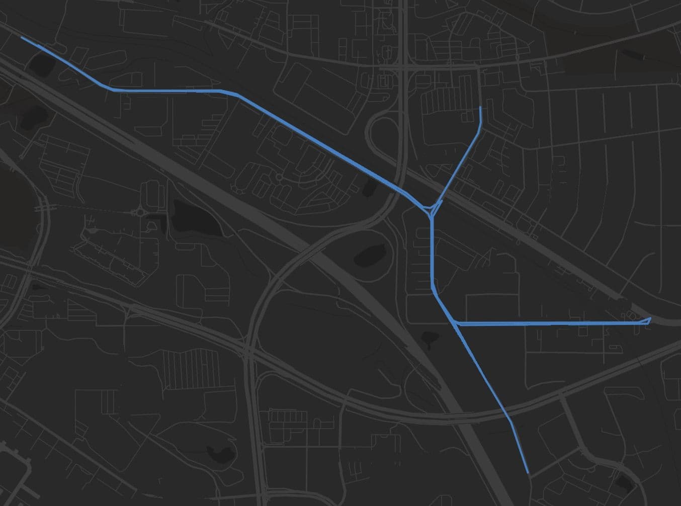
The team quickly saw this difference in production. On a drone project covering a square kilometer of former industrial land with a highway, an electrical substation, and open terrain, Mach9 delivered a first-pass draft with 90% of the features already extracted. With this automated baseline, Chris and his team reduced a three-day drafting effort to just a few hours of quality control and cleanup.
Today, Chris and his team use Mach9 to process reality-capture data from aerial drone surveys and mobile scanners. The platform automatically extracts site features and linework, including roadway alignments, overhead power lines, trails, and buildings, shifting technicians’ time away from manual tracing and toward validating the results and fine-tuning details.
We dropped a square kilometer of drone data into Mach9, and very little needed to be done to get it to a finished product. It was already 80 to 90% complete.
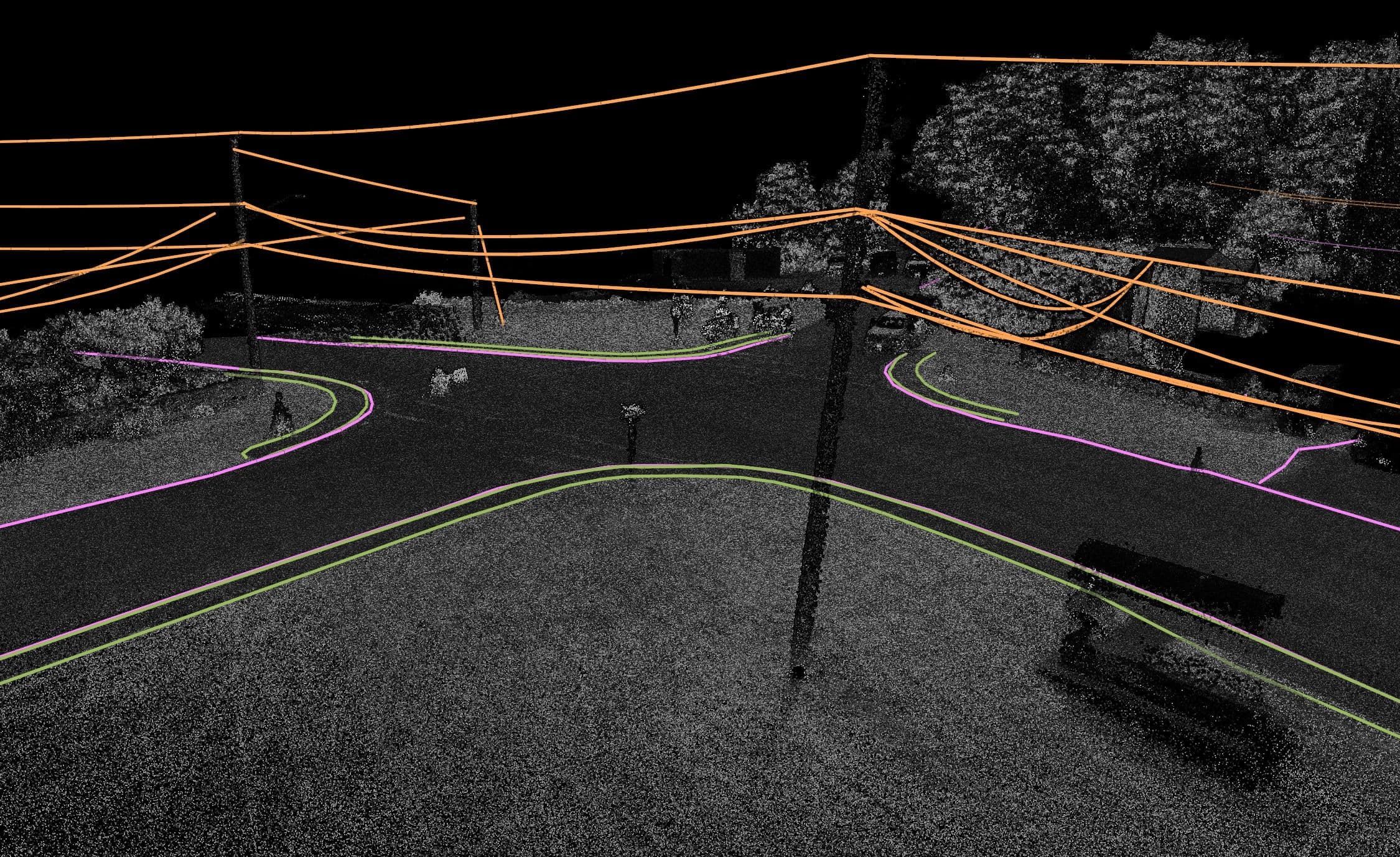
“We used to measure points on each wire with an instrument. Now we fly the site with a drone, run the data through Mach9, and extract the power lines with minimal manual input,” shares Chris.
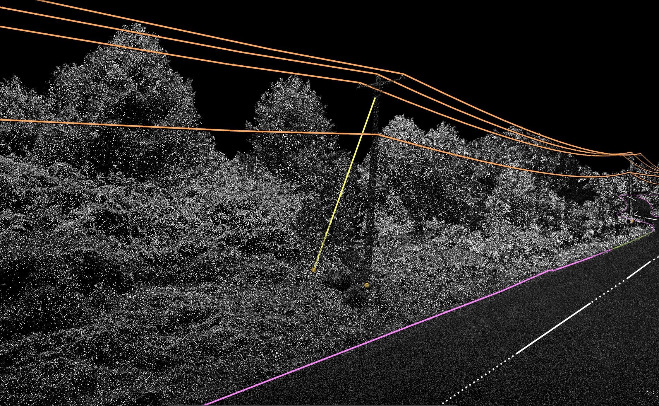
Because extracted features are fully editable, technicians can refine geometry directly on the platform. Those refinements also help Mach9 adjust its extraction suggestions across the remaining dataset, reducing the amount of manual cleanup required as technicians work through each project.
From there, technicians export the clean linework into Autodesk Civil 3D, delivering design-grade CAD models that civil engineering teams can use immediately.
By automating extraction with Mach9, Chris’s team now delivers completed surveys significantly faster, meeting client turnaround expectations with higher project margins. That newfound efficiency also creates valuable capacity for his team to train technicians at other company branches and take on a higher volume of corridor and infrastructure projects.
McElhanney Accelerates Survey-to-CAD Delivery Across Drone-Collected Datasets
With Mach9, McElhanney handles feature extraction at the speed of modern field data capture. Chris and his team now start with a first-pass draft, accelerating project turnaround with design-grade accuracy while freeing up capacity to take on additional projects.
- 0180% of line features automatically extracted on the first pass
- 0220% more efficient survey-to-CAD workflows on complex projects
- 032–3 days of drone extraction reduced to under one day of cleanup
Looking ahead, Chris is eager to see how Mach9 can help his team extract subtler terrain features, such as drainage ditches and ground breaklines. Automating extraction for these less defined features will further compress project delivery schedules and expand McElhanney’s capacity across Western Canada.
A lot of survey teams using drones are asking how they can turn their data into the road edges, power lines, and other features needed for design-ready CAD deliverables. Mach9 is the missing link in that workflow.
More case studies
See all →


Turn weeks of drafting into hours

Mach9 shaves weeks and weeks off extraction on our civil corridor projects. We can fly through vertices and line work in 3D — half our data is already done before we start verifying.”
A recurring theme in the civil engineering industry is how difficult it is to find trained technicians. Mach9 enables us to do 50% more work with the same experienced team. That's extremely important for us.”
Mach9 changed how our team works. The time we used to spend on manual feature extraction, we now spend on parts that require expert judgment, like resolving edge-case geometry.”
With Mach9, we now have a state-of-the-art feature extraction workflow. Instead of spending hours tracing objects in a point cloud, we directly review Mach9's AI-generated assets.”
One of the best things about Mach9 is that you get immediate value without any learning curve. The feature extraction is super accurate, and you go from point mapping to a design-grade deliverable seamlessly.”
The ability to perform full QA in a single interface, without jumping between systems, has transformed how we approach statewide inventories. Mach9 brought consistency and confidence to our data workflows.”
Director of Reality Capture, Feldman GeospatialRob Ashley
HDLS Technology Director, PennoniEddie Fossler
VP & Quality Management Leader, OlssonKaty Sprenger
GIS Specialist, TruenetDiana Wohlfarth
PennoniJeff Tornatore
Project Manager, Michael Baker International
Step 1 of 3